- Australia ▾
- Topographic
▾
- Australia AUSTopo 250k (2025)
- Australia 50k Geoscience maps
- Australia 100k Geoscience maps
- Australia 250k Geoscience maps
- Australia 1:1m Geoscience maps
- New Zealand 50k maps
- New Zealand 250k maps
- New South Wales 25k maps
- New South Wales 50k maps
- New South Wales 100k maps
- Queensland 10k maps
- Queensland 25k maps
- Queensland 50k maps
- Queensland 100k maps
- Western Australia 25k maps
- Western Australia 50k maps
- Western Australia 100k maps
- Compasses
- Software
- GPS Systems
- International ▾
- Wall Maps
▾
- World
- Australia & New Zealand
- Countries, Continents & Regions
- Historical
- Vintage National Geographic
- Australian Capital Territory
- New South Wales
- Northern Territory
- Queensland
- South Australia
- Tasmania
- Victoria
- Western Australia
- Celestial
- Children's
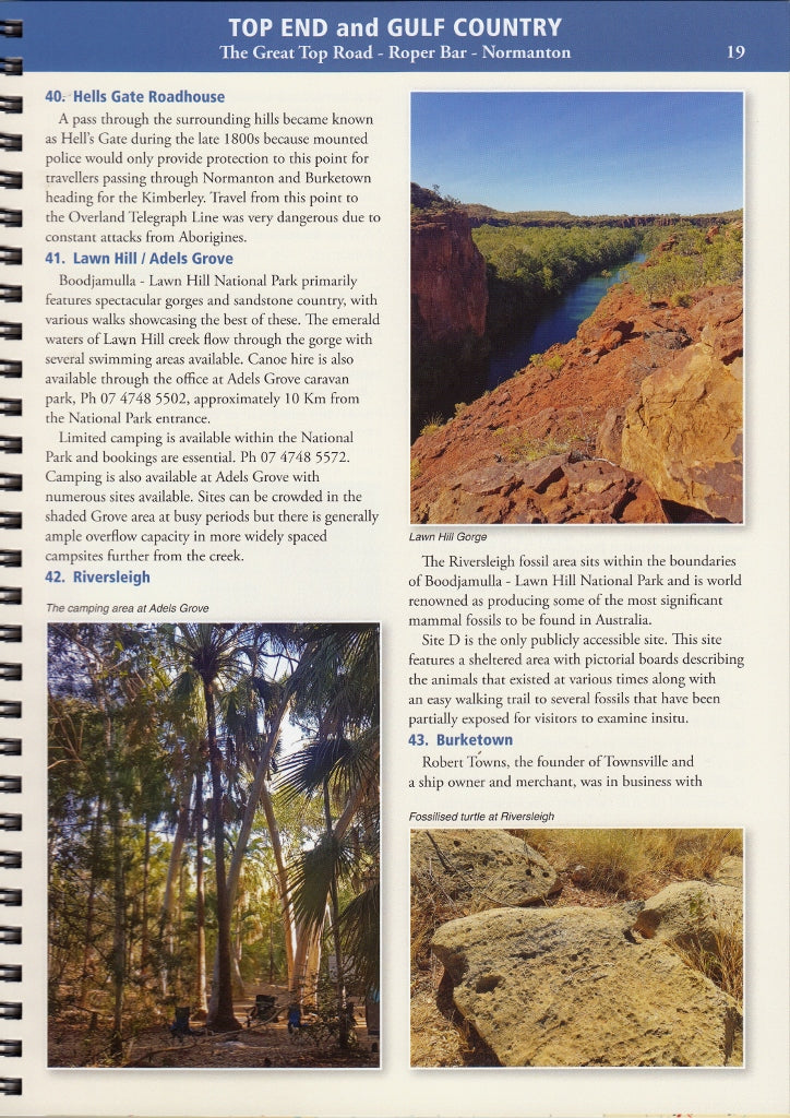
- Mining & Resources
- Wine Maps
- Healthcare
- Postcode Maps
- Electoral Maps
- Nautical ▾
- Flags
▾
- Australian Flag Sets & Banners
- Flag Bunting
- Handwavers
- Australian National Flags
- Aboriginal Flags
- Torres Strait Islander Flags
- International Flags
- Flagpoles & Accessories
- Australian Capital Territory Flags
- New South Wales Flags
- Northern Territory Flags
- Queensland Flags
- South Australia Flags
- Tasmania Flags
- Victoria Flags
- Western Australia Flags
- Gifts ▾
- Globes ▾
Dear valued customer. Please note that our checkout is not supported by old browsers. Please use a recent browser to access all checkout capabilities


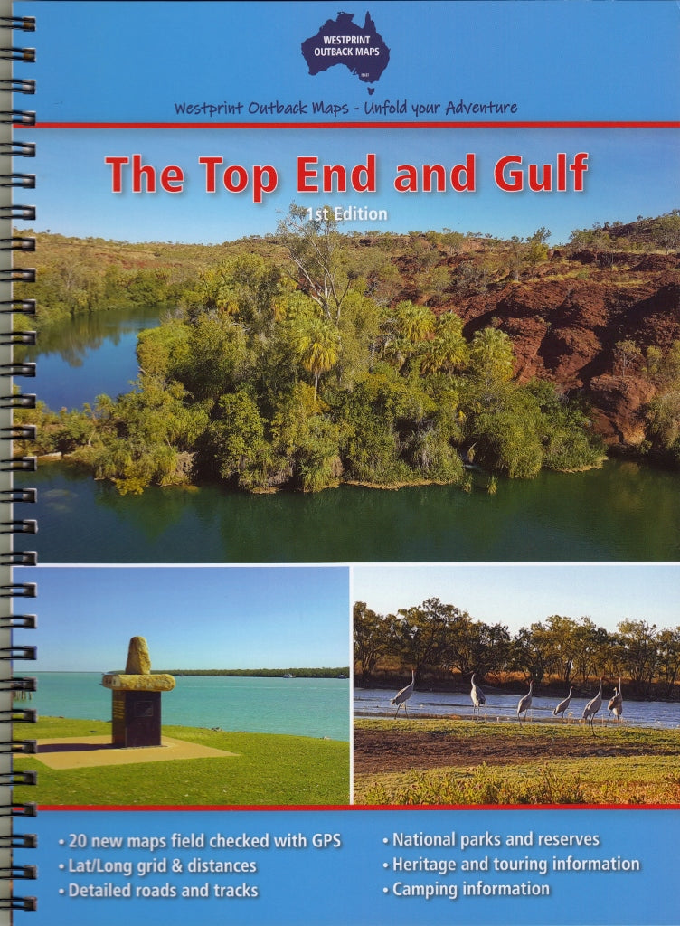
Top End & Gulf Atlas & Guide Westprint
$29.95 $34.95
Afterpay is only available for orders between $50.00 and $1000.00 More info
Your Essential Companion to Northern Australia’s Wildest Frontiers
Scale: 1:1,000,000 | Spiral-Bound | First Edition 2022
Size: 250 x 190 mm
🧭 Explore the Vastness of the Top End Like Never Before
From the red-dust roads of Halls Creek to the crocodile-lined wetlands of Kakadu, and from the Gulf Savannah towns of Croydon and Julia Creek to the Kimberley frontier at Wyndham, this comprehensive Top End & Gulf Atlas & Guide by Westprint is your key to unlocking one of Australia’s most remote and rewarding landscapes.
Whether you're heading out on a solo 4WD adventure, planning a station stay, or caravanning across northern Australia, this guide offers everything you need to travel smart, safely, and with rich historical insight.
🗺️ What’s Inside?
| Feature | Description |
|---|---|
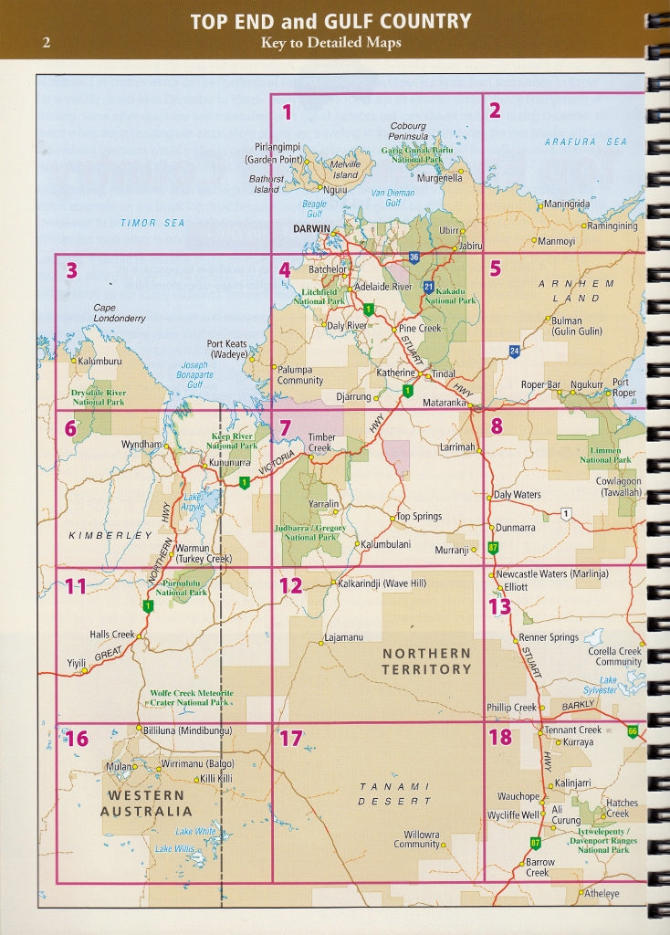
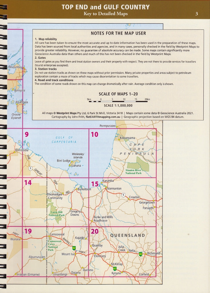
| 20 Double-Page Atlas Maps | Highly detailed 1:1,000,000 scale maps with easy-to-read road detail, perfect for planning your route across the Top End and Gulf Country. |
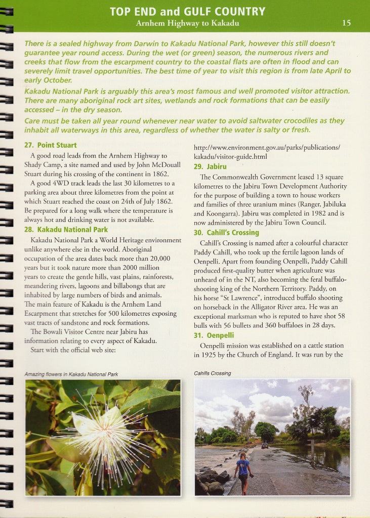
| 70+ Numbered Points of Interest | Clearly marked on the maps, including gorges, waterfalls, Aboriginal art sites, historic ruins, and iconic roadhouses. |
| 30+ Pages of Touring & Heritage Information | Dive into the rich stories of the land – covering early exploration, Indigenous heritage, local industries, and outback characters. |
| Covers All Major Touring Routes | Including the Savannah Way, Roper Bar Track, Buchanan Highway, Binns Track, and more. |
| Station Profiles & Local Geography | Insightful notes on major cattle stations and the physical geography of the region, ideal for travellers who love context. |
| Spiral Binding for Ease of Use | Lay-flat design makes it easy to use on the go – whether you're navigating from the passenger seat or the camp kitchen table. |
🏕️ Ideal For:
-
4WD adventurers and off-road travellers
-
Grey nomads and caravanners
-
Geography and history enthusiasts
-
Those travelling the Savannah Way
-
Anyone seeking the real heart of Australia’s north
🌏 Coverage Area Includes:
-
Queensland: Croydon, Karumba, Normanton, Burketown, Julia Creek
-
Northern Territory: Roper Bar, Borroloola, Daly Waters, Katherine, Darwin, Arnhem Land fringe
-
Western Australia: Kununurra, Wyndham, Halls Creek, the edge of the Kimberley
📘 Product Specifications:
| Attribute | Details |
|---|---|
| Title | Top End & Gulf Atlas & Guide |
| Publisher | Westprint Heritage Maps |
| Edition | First Edition (2022) |
| Binding | Spiral-bound (lay-flat format) |
| Page Size | 250 mm x 190 mm |
| Map Scale | 1:1,000,000 |
| Pages | 20 map spreads + 30+ guide pages |
🛤️ Plan the trip. Know the country. Respect the journey.
Whether you’re tracing remote stock routes, watching saltwater crocs cruise muddy creeks, or camping under boab trees, this is the atlas for explorers who want more than just a road map – it's a guidebook to stories, legends, and landscapes.
Frequently Asked Questions
What does the Top End & Gulf Atlas & Guide Westprint cover?
This atlas covers the geographic region indicated in the product title, including roads, towns, distances, and key travel information. Mapworld stocks atlases for Australian states and territories, 4WD regions, and international destinations.
Is this the latest edition?
Yes, this is the latest edition. Mapworld stocks the most current editions available from publishers.
Is this atlas or guide spiral bound?
Spiral binding is indicated in the product title where applicable. Spiral-bound atlases and guides lay flat when open, making them ideal for use in vehicles or on a table without needing to hold pages open.
Is the Top End & Gulf Atlas & Guide Westprint in stock at Mapworld?
Mapworld maintains extensive stock across its map range and aims for fast dispatch. Orders placed before 2pm AEST on business days are typically dispatched the same day, with standard and express Australia-wide delivery options available.
Does Mapworld ship the Top End & Gulf Atlas & Guide Westprint across Australia?
Yes, Mapworld ships Australia-wide. Standard shipping is a flat $7 rate, with free standard shipping on orders over $75. Express options are available at checkout. Most orders placed before 2pm AEST on weekdays are dispatched same day.
Related Items


© 2026 Mapworld. Website designed by Genie Media
X