- Australia ▾
- Topographic
▾
- Australia AUSTopo 250k (2025)
- Australia 50k Geoscience maps
- Australia 100k Geoscience maps
- Australia 250k Geoscience maps
- Australia 1:1m Geoscience maps
- New Zealand 50k maps
- New Zealand 250k maps
- New South Wales 25k maps
- New South Wales 50k maps
- New South Wales 100k maps
- Queensland 10k maps
- Queensland 25k maps
- Queensland 50k maps
- Queensland 100k maps
- Western Australia 25k maps
- Western Australia 50k maps
- Western Australia 100k maps
- Compasses
- Software
- GPS Systems
- International ▾
- Wall Maps
▾
- World
- Australia & New Zealand
- Countries, Continents & Regions
- Historical
- Vintage National Geographic
- Australian Capital Territory
- New South Wales
- Northern Territory
- Queensland
- South Australia
- Tasmania
- Victoria
- Western Australia
- Celestial
- Children's
- Mining & Resources
- Wine Maps
- Healthcare
- Postcode Maps
- Electoral Maps
- Nautical ▾
- Flags
▾
- Australian Flag Sets & Banners
- Flag Bunting
- Handwavers
- Australian National Flags
- Aboriginal Flags
- Torres Strait Islander Flags
- International Flags
- Flagpoles & Accessories
- Australian Capital Territory Flags
- New South Wales Flags
- Northern Territory Flags
- Queensland Flags
- South Australia Flags
- Tasmania Flags
- Victoria Flags
- Western Australia Flags
- Gifts ▾
- Globes ▾
Dear valued customer. Please note that our checkout is not supported by old browsers. Please use a recent browser to access all checkout capabilities


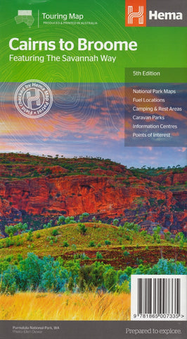
Northern Territory - Maps, Guides, Road Atlases & Street Directories
Northern Territory wall maps, road atlases, folded maps, and street directories provide a clear and essential guide to one of Australia’s most remote and remarkable regions. From Darwin’s urban layout to the vast stretches of the Red Centre, Kakadu, Arnhem Land, and the remote outback tracks, these resources offer detailed, up-to-date information for travel, planning, and exploration.
Our collection includes large-format wall maps ideal for visualising routes and regions, rugged road atlases designed for 4WD and long-distance touring, compact folded maps for travel on the go, and practical street directories for navigating urban areas like Darwin, Palmerston, and Alice Springs. Whether you're a traveller, educator, tour operator, or logistics professional, Northern Territory maps are indispensable for moving through this wide, wild, and unforgettable part of Australia.


© 2026 Mapworld. Website designed by Genie Media
X