- Australia ▾
- Topographic
▾
- Australia AUSTopo 250k (2025)
- Australia 50k Geoscience maps
- Australia 100k Geoscience maps
- Australia 250k Geoscience maps
- Australia 1:1m Geoscience maps
- New Zealand 50k maps
- New Zealand 250k maps
- New South Wales 25k maps
- New South Wales 50k maps
- New South Wales 100k maps
- Queensland 10k maps
- Queensland 25k maps
- Queensland 50k maps
- Queensland 100k maps
- Compasses
- Software
- GPS Systems
- Orienteering
- International ▾
- Wall Maps
▾
- World
- Australia & New Zealand
- Countries, Continents & Regions
- Historical
- Vintage National Geographic
- Australian Capital Territory
- New South Wales
- Northern Territory
- Queensland
- South Australia
- Tasmania
- Victoria
- Western Australia
- Celestial
- Children's
- Mining & Resources
- Wine Maps
- Healthcare
- Postcode Maps
- Electoral Maps
- Nautical ▾
- Flags
▾
- Australian Flag Sets & Banners
- Flag Bunting
- Handwavers
- Australian National Flags
- Aboriginal Flags
- Torres Strait Islander Flags
- International Flags
- Flagpoles & Accessories
- Australian Capital Territory Flags
- New South Wales Flags
- Northern Territory Flags
- Queensland Flags
- South Australia Flags
- Tasmania Flags
- Victoria Flags
- Western Australia Flags
- Gifts ▾
- Globes ▾
Dear valued customer. Please note that our checkout is not supported by old browsers. Please use a recent browser to access all checkout capabilities
Tasmania - Maps, Guides, Road Atlases, Digital Mapping & Street Directories
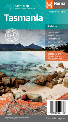
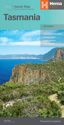
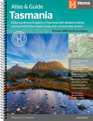
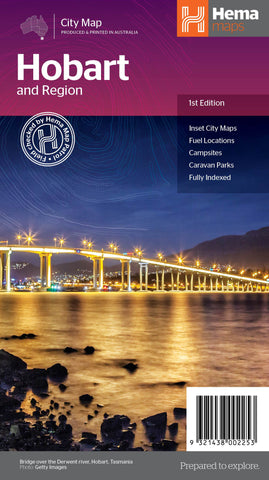
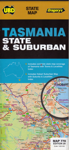
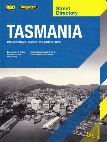
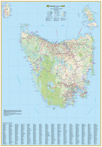
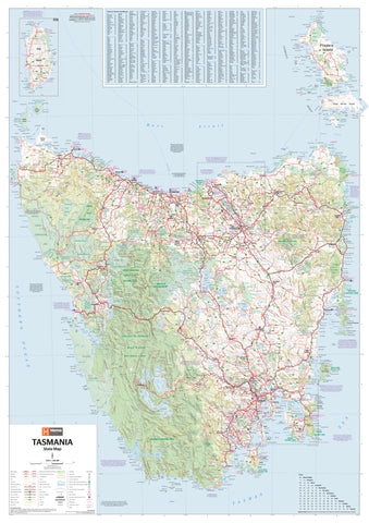
Tasmania wall maps, road atlases, folded maps, and street directories offer a clear and practical way to explore Australia’s island state—from Hobart’s winding streets to the wild west coast, alpine highlands, and remote coastal towns. Whether you’re planning a scenic drive, navigating Tassie’s national parks, or managing regional travel, these resources provide accurate, up-to-date detail for every kind of journey.
Our collection includes large wall maps for planning and display, durable road atlases ideal for touring, handy folded maps for travellers on the move, and street directories perfect for navigating urban areas like Hobart, Launceston, and Devonport. Whether you're a tourist, educator, delivery driver, or proud local, Tasmania maps are essential tools for seeing more of this beautiful and varied state—with confidence and ease.


