- Australia ▾
- Topographic
▾
- Australia AUSTopo 250k (2025)
- Australia 50k Geoscience maps
- Australia 100k Geoscience maps
- Australia 250k Geoscience maps
- Australia 1.1m Geoscience maps
- New Zealand 50k maps
- New Zealand 250k maps
- New South Wales 25k maps
- New South Wales 50k maps
- New South Wales 100k maps
- Queensland 10k maps
- Queensland 25k maps
- Queensland 50k maps
- Queensland 100k maps
- Compasses
- Software
- GPS Systems
- Orienteering
- International ▾
- Wall Maps
▾
- World
- Australia & New Zealand
- Countries, Continents & Regions
- Historical
- Vintage National Geographic
- Australian Capital Territory
- New South Wales
- Northern Territory
- Queensland
- South Australia
- Tasmania
- Victoria
- Western Australia
- Celestial
- Children's
- Mining & Resources
- Wine Maps
- Healthcare
- Postcode Maps
- Electoral Maps
- Nautical ▾
- Flags
▾
- Australian Flag Sets & Banners
- Flag Bunting
- Handwavers
- Australian National Flags
- Aboriginal Flags
- Torres Strait Islander Flags
- International Flags
- Flagpoles & Accessories
- Australian Capital Territory Flags
- New South Wales Flags
- Northern Territory Flags
- Queensland Flags
- South Australia Flags
- Tasmania Flags
- Victoria Flags
- Western Australia Flags
- Gifts ▾
- Globes ▾
Dear valued customer. Please note that our checkout is not supported by old browsers. Please use a recent browser to access all checkout capabilities
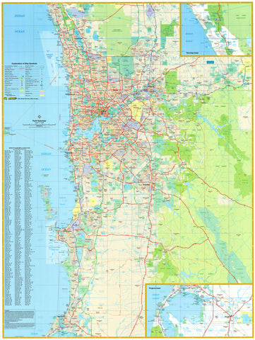
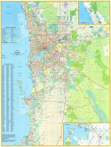
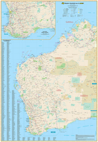
Perth UBD 662 Map 1020 x 1480mm Laminated Wall Map
$365.00
or make 4 interest-free payments of
$91.25 AUD
fortnightly with
![]() More info
More info
Laminated | Format: Flat | Size: 1020 mm (W) x 1480 mm (H)
This exceptionally detailed map of Perth by UBD Gregory’s is the ideal planning tool or reference map for your home, office, or workplace. Covering an expansive 75km radius from the city centre, it provides an invaluable overview of Perth's broader metropolitan region—from Quinns Rocks in the north to Mandurah in the south—with arterial routes, main roads, and key suburban features clearly marked.
A detailed insets of Yanchep & Pinjarra offers additional value, making this map especially useful for logistics, real estate, local government, and transport planning.
🗺️ Coverage Highlights
-
Depicts Perth’s suburban sprawl within a 75km radius of the CBD
-
Includes major arterial routes and primary transport corridors
-
Suburban built-up areas, national parks, and industrial zones are clearly delineated
-
All suburbs are named and indexed, complete with postcode identifiers
-
Includes a detailed inset map of Pinjarra
✨ Map Finish and Durability
-
Laminated with 80-micron gloss encapsulation, allowing you to use whiteboard markers and map dots without leaving permanent marks
-
Resists tears, smudges, and moisture, making it ideal for heavy daily use
-
Printed on high-quality, FSC-certified 120 gsm matte-coated paper with fade-resistant pigment inks
📐 Specifications
| Feature | Details |
|---|---|
| Brand | UBD Gregory’s |
| Region | Perth (75km radius view) |
| Format | Flat / Laminated |
| Size | 1020 mm (W) x 1480 mm (H) |
| Postcodes Shown | Yes |
| Suburb Index | Yes |
| Inset Maps | Yanchep & Pinjarra |
| Finish | Gloss Laminate (Write & Wipe) |
| Made In | Australia |
This map is ideal for urban planning, fleet management, real estate offices, or anyone needing a large-format, up-to-date overview of Perth’s extensive suburban landscape. Beautifully designed and built to last—this is Perth at a glance, and in detail.


