- Australia ▾
- Topographic
▾
- Australia AUSTopo 250k (2025)
- Australia 50k Geoscience maps
- Australia 100k Geoscience maps
- Australia 250k Geoscience maps
- Australia 1:1m Geoscience maps
- New Zealand 50k maps
- New Zealand 250k maps
- New South Wales 25k maps
- New South Wales 50k maps
- New South Wales 100k maps
- Queensland 10k maps
- Queensland 25k maps
- Queensland 50k maps
- Queensland 100k maps
- Western Australia 25k maps
- Western Australia 50k maps
- Western Australia 100k maps
- Compasses
- Software
- GPS Systems
- International ▾
- Wall Maps
▾
- World
- Australia & New Zealand
- Countries, Continents & Regions
- Historical
- Vintage National Geographic
- Australian Capital Territory
- New South Wales
- Northern Territory
- Queensland
- South Australia
- Tasmania
- Victoria
- Western Australia
- Celestial
- Children's
- Mining & Resources
- Wine Maps
- Healthcare
- Postcode Maps
- Electoral Maps
- Nautical ▾
- Flags
▾
- Australian Flag Sets & Banners
- Flag Bunting
- Handwavers
- Australian National Flags
- Aboriginal Flags
- Torres Strait Islander Flags
- International Flags
- Flagpoles & Accessories
- Australian Capital Territory Flags
- New South Wales Flags
- Northern Territory Flags
- Queensland Flags
- South Australia Flags
- Tasmania Flags
- Victoria Flags
- Western Australia Flags
- Gifts ▾
- Globes ▾
Dear valued customer. Please note that our checkout is not supported by old browsers. Please use a recent browser to access all checkout capabilities


Wollongong Postcode Laminated Wall Map 1036 x 730mm
$109.95
or make 4 interest-free payments of
$27.49 AUD
fortnightly with
![]() More info
More info
Wollongong Postcode Laminated Wall Map · 1036 × 730 mm
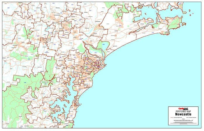
A professional planning tool for Wollongong and the Illawarra. Cartodraft’s Postcode Map of Wollongong shows every postcode boundary and number across the city and surrounding districts, presented with crisp clarity and finished in a durable write-on/wipe-off laminate. Whether you’re planning sales territories, service zones, or delivery routes, this map is built for business.
✅ Why this map is indispensable
-
Crystal-clear postcode detail — boundaries and numbers designed to be read at wall distance
-
Fast postcode referencing — check suburbs and codes instantly for quoting, dispatch, or customer service
-
True write & wipe surface — annotate directly with whiteboard markers; erase cleanly with no residue
-
Dot mapping ready — compatible with Mark-It-Dots for hotspots, depots, or customer clusters
-
Commercial utility — used by sales teams, couriers, field service managers, and franchise operators
🪵 Premium materials & finish
This is not a throwaway poster—it’s built for years of daily use:
-
Heavy base stock — bright paper ensures crisp print definition and colour depth
-
True encapsulation lamination — wrapped in 2 × 80-micron gloss film, edge-to-edge, for waterproof, tear-resistant durability
-
Write-on/wipe-off surface — specifically designed for repeated use with whiteboard markers
-
Edge-sealed protection — prevents peeling and guards against moisture
-
Colour-managed printing — bold, consistent tones and contrast for maximum visibility
✨ Optional upgrade: Laminated + Timber Hang Rails — natural timber rails, lacquered and fitted top & bottom with a hanging cord for an elegant wall display.
⏱️ Please allow up to 10 working days for hang-railed maps.
🧾 What’s included
-
Complete Wollongong postcode boundaries & numbers
-
Suburb layout with codes for quick lookups
-
Major transport corridors & features (as supplied by Cartodraft) for orientation
📐 Size & display
-
1036 × 730 mm (landscape) — a wide-format map that balances visibility with wall efficiency
-
Mount directly with 3M picture strips, screws, or select the timber rail option for ready-to-hang presentation
📦 Practical uses in business
-
Sales & franchise planning — define and manage clean territories
-
Courier & logistics planning — map runs, balance workloads, and adjust coverage areas
-
Field service operations — allocate maintenance zones, contracts, and routes
-
Customer hotspot analysis — identify and cluster opportunities for growth
-
Boardroom & office display — functional, professional, and impressive on the wall
🧽 Care & maintenance
-
Wipe with a soft dry or slightly damp cloth
-
Use only whiteboard markers (avoid permanent/ethanol-based pens)
-
Remove adhesive dots or tape carefully to preserve the laminate seal
📊 Specifications
| Field | Detail |
|---|---|
| Title | Wollongong Postcode Laminated Wall Map |
| Publisher | Cartodraft |
| Coverage | Wollongong & Illawarra — postcode boundaries & numbers |
| Colour-managed, high-contrast cartography | |
| Lamination | 2 × 80-micron gloss film, fully encapsulated, edge-sealed |
| Surface | Write-on/wipe-off (whiteboard-marker compatible) |
| Size & Orientation | Landscape — 1036 × 730 mm |
| Optional Display | Laminated + Timber Hang Rails (natural lacquered; allow up to 10 working days) |
| Best for | Sales, logistics, franchise planning, service coverage, hotspot analysis |
🇦🇺 Our commitment
-
Made & printed in Australia — supporting local expertise and high-quality production
-
Hand-finished lamination — sealed edges and smooth surfaces for long-term use
-
Colour-managed workflow — consistent clarity and tone across every print run
-
Careful packaging — shipped in protective tubes or flat-packed for safe delivery
-
Family-run expertise — decades of mapmaking knowledge behind every order
Bring Wollongong’s postcodes into sharp focus. Select your finish, add accessories, and equip your team with a professional wall map built to last.
Frequently Asked Questions
What are the dimensions of the Wollongong Postcode Laminated Wall Map 1036 x 730mm?
Mapworld wall maps range from standard 700×1000mm to large-format 1000×1430mm Supermaps. The exact dimensions for this map are shown in the product title. Where multiple sizes are available, select your preferred size when adding to cart.
Is this wall map available laminated?
Many Mapworld wall maps are available in paper, laminated, or framed finishes. Check the product options when adding to cart. Laminated maps are wipe-clean and more durable.
Is this the latest edition?
Mapworld stocks the most current editions available from all publishers. Edition year is shown in the product title where applicable. Mapworld updates its catalogue as new editions are released.
Can I write on or pin this wall map?
Laminated wall maps can be written on with whiteboard markers and wiped clean. Paper maps can be pinned on a corkboard. Choose a laminated option for a writeable surface.
Does Mapworld ship the Wollongong Postcode Laminated Wall Map 1036 x 730mm across Australia?
Yes, Mapworld ships Australia-wide. Standard shipping is a flat $7 rate, with free standard shipping on orders over $75. Express options are available at checkout. Most orders placed before 2pm AEST on weekdays are dispatched same day.
Related Items


© 2026 Mapworld. Website designed by Genie Media
X