- Australia ▾
- Topographic
▾
- Australia AUSTopo 250k (2024)
- Australia 50k Geoscience maps
- Australia 100k Geoscience maps
- Australia 250k Geoscience maps
- Australia 1.1m Geoscience maps
- New Zealand 50k maps
- New Zealand 250k maps
- New South Wales 25k maps
- New South Wales 50k maps
- New South Wales 100k maps
- Queensland 10k maps
- Queensland 25k maps
- Queensland 50k maps
- Queensland 100k maps
- Compasses
- Software
- GPS Systems
- Orienteering
- International ▾
- Wall Maps
▾
- World
- Australia & New Zealand
- Countries, Continents & Regions
- Historical
- Vintage National Geographic
- Australian Capital Territory
- New South Wales
- Northern Territory
- Queensland
- South Australia
- Tasmania
- Victoria
- Western Australia
- Celestial
- Children's
- Mining & Resources
- Wine Maps
- Healthcare
- Postcode Maps
- Electoral Maps
- Nautical ▾
- Flags
▾
- Australian Flag Sets & Banners
- Flag Bunting
- Handwavers
- Australian National Flags
- Aboriginal Flags
- Torres Strait Islander Flags
- International Flags
- Flagpoles & Accessories
- Australian Capital Territory Flags
- New South Wales Flags
- Northern Territory Flags
- Queensland Flags
- South Australia Flags
- Tasmania Flags
- Victoria Flags
- Western Australia Flags
- Gifts ▾
- Globes ▾
Dear valued customer. Please note that our checkout is not supported by old browsers. Please use a recent browser to access all checkout capabilities
Great Britain & Ireland - Maps & Guides
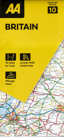
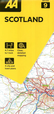
Our collection of Great Britain and Ireland maps and road atlases offers a practical and detailed view of these richly historic and geographically diverse islands. Covering everything from the rugged coastlines of Scotland and the rolling hills of Wales to England’s bustling cities and the scenic landscapes of Ireland and Northern Ireland, these maps are ideal for travel, planning, education, and logistics.
Featuring trusted publishers such as Collins, Michelin, and AA, our range includes comprehensive road atlases renowned for their accuracy and user-friendly design, folded maps for easy on-the-go reference, and large-format wall maps perfect for planning or display. Whether you're driving the Wild Atlantic Way, exploring the Lake District, or teaching about the British Isles, our maps of Great Britain and Ireland deliver the clarity, reliability, and insight you need to navigate with confidence.


