- Australia ▾
- Topographic
▾
- Australia AUSTopo 250k (2025)
- Australia 50k Geoscience maps
- Australia 100k Geoscience maps
- Australia 250k Geoscience maps
- Australia 1:1m Geoscience maps
- New Zealand 50k maps
- New Zealand 250k maps
- New South Wales 25k maps
- New South Wales 50k maps
- New South Wales 100k maps
- Queensland 10k maps
- Queensland 25k maps
- Queensland 50k maps
- Queensland 100k maps
- Compasses
- Software
- GPS Systems
- Orienteering
- International ▾
- Wall Maps
▾
- World
- Australia & New Zealand
- Countries, Continents & Regions
- Historical
- Vintage National Geographic
- Australian Capital Territory
- New South Wales
- Northern Territory
- Queensland
- South Australia
- Tasmania
- Victoria
- Western Australia
- Celestial
- Children's
- Mining & Resources
- Wine Maps
- Healthcare
- Postcode Maps
- Electoral Maps
- Nautical ▾
- Flags
▾
- Australian Flag Sets & Banners
- Flag Bunting
- Handwavers
- Australian National Flags
- Aboriginal Flags
- Torres Strait Islander Flags
- International Flags
- Flagpoles & Accessories
- Australian Capital Territory Flags
- New South Wales Flags
- Northern Territory Flags
- Queensland Flags
- South Australia Flags
- Tasmania Flags
- Victoria Flags
- Western Australia Flags
- Gifts ▾
- Globes ▾
Dear valued customer. Please note that our checkout is not supported by old browsers. Please use a recent browser to access all checkout capabilities


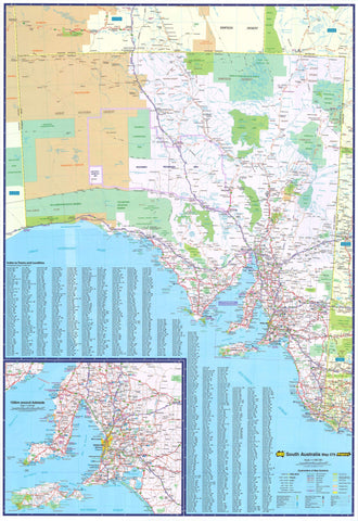
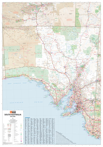
Yorke Peninsula & Copper Coast Cartographics Map
$11.95
Afterpay is only available for orders between $50.00 and $1000.00 More info
Scale: 1:240,000 | Size: 1000 mm x 700 mm | Optional Lamination Available
Detailed Touring Map Featuring National Parks, Walking Trails & Historic Sites
Explore the rugged coastlines, rich mining history, and pristine national parks of South Australia's Yorke Peninsula and Copper Coast with this highly detailed regional map by Carto Graphics. With a main map at 1:240,000 scale, plus additional insets for key tourist destinations, this is the essential companion for planning your next coastal escape or heritage adventure.
✅ Map Features & Highlights
Main Map Coverage – Yorke Peninsula
The main side of the map provides a comprehensive overview of the entire Yorke Peninsula, with:
-
Clearly marked sealed and unsealed roads
-
Touring routes, beaches, lookouts, and campgrounds
-
National parks, conservation reserves, and coastal features
Reverse Side – Detailed Insets
The reverse includes zoomed-in mapping for key regions of interest:
-
The Copper Coast – including Wallaroo, Moonta & Kadina
-
Wardang Island – off the west coast, a key wildlife and marine area
-
Innes National Park – one of SA’s most iconic coastal parks
-
Moonta Mines Tourist Drive & Walking Trails – explore the heritage and ruins of the region’s copper mining boom
Tourism-Focused Design
Perfect for:
-
Road trippers, campers, and 4WD adventurers
-
History buffs exploring the Yorke Peninsula’s mining legacy
-
Hikers and birdwatchers heading to Innes or Dhilba Guuranda National Parks
-
Families planning beach holidays and caravan stays along the coast
Optional Lamination for Field Durability
Laminated Finish Available
Upgrade to a fully laminated version for increased functionality and durability:
-
Write on/wipe off surface using whiteboard markers
-
Perfect for marking routes, campsites, or wildlife sightings with map dots
-
Protects against tears, moisture, and repeated folding
Laminated versions are produced by flattening the folded map and encapsulating it in 80-micron gloss laminate. (Note: faint original fold lines may remain visible.)
Product Specifications
| Feature | Description |
|---|---|
| Map Title | Yorke Peninsula & Copper Coast |
| Publisher | Carto Graphics |
| Scale | 1:240,000 |
| Size (Unfolded) | 1000 mm x 700 mm |
| Format | Folded paper or optional laminated flat map |
| Insets on Reverse | Copper Coast, Innes National Park, Wardang Island, Moonta Mines Trails |
| Laminated Option | Gloss laminated (80 micron) – write-on/wipe-off surface |
| Map Features | Roads, trails, tourist drives, parks, heritage sites, coastal features |
Perfect For:
✔️ Weekend explorers and road trippers
✔️ Hikers, campers, and caravanners
✔️ Wildlife watchers and coastal photographers
✔️ Heritage and mining history enthusiasts
✔️ Educators and schools focusing on South Australian geography
From the windswept cliffs of Innes National Park to the cultural treasures of the Moonta Mines, the Yorke Peninsula & Copper Coast Map is a beautifully rendered and highly functional guide to one of South Australia’s most beloved regions. Whether you're touring, camping, or retracing colonial history, this map offers the clarity, scale, and detail you need to make the most of your journey.
🛒 Add to Cart Now and choose between the classic folded map or the upgraded laminated version—your next Yorke Peninsula adventure starts here.