- Australia ▾
- Topographic
▾
- Australia AUSTopo 250k (2025)
- Australia 50k Geoscience maps
- Australia 100k Geoscience maps
- Australia 250k Geoscience maps
- Australia 1:1m Geoscience maps
- New Zealand 50k maps
- New Zealand 250k maps
- New South Wales 25k maps
- New South Wales 50k maps
- New South Wales 100k maps
- Queensland 10k maps
- Queensland 25k maps
- Queensland 50k maps
- Queensland 100k maps
- Western Australia 25k maps
- Western Australia 50k maps
- Western Australia 100k maps
- Compasses
- Software
- GPS Systems
- International ▾
- Wall Maps
▾
- World
- Australia & New Zealand
- Countries, Continents & Regions
- Historical
- Vintage National Geographic
- Australian Capital Territory
- New South Wales
- Northern Territory
- Queensland
- South Australia
- Tasmania
- Victoria
- Western Australia
- Celestial
- Children's
- Mining & Resources
- Wine Maps
- Healthcare
- Postcode Maps
- Electoral Maps
- Nautical ▾
- Flags
▾
- Australian Flag Sets & Banners
- Flag Bunting
- Handwavers
- Australian National Flags
- Aboriginal Flags
- Torres Strait Islander Flags
- International Flags
- Flagpoles & Accessories
- Australian Capital Territory Flags
- New South Wales Flags
- Northern Territory Flags
- Queensland Flags
- South Australia Flags
- Tasmania Flags
- Victoria Flags
- Western Australia Flags
- Gifts ▾
- Globes ▾
Dear valued customer. Please note that our checkout is not supported by old browsers. Please use a recent browser to access all checkout capabilities


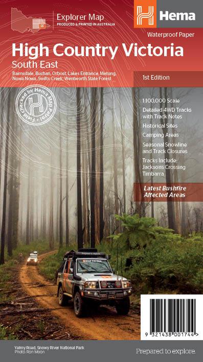
Victorian High Country SE 100K Hema Map
$14.95 $15.95
Afterpay is only available for orders between $50.00 and $1000.00 More info
Covers the Gippsland & Snowy River National Park Region
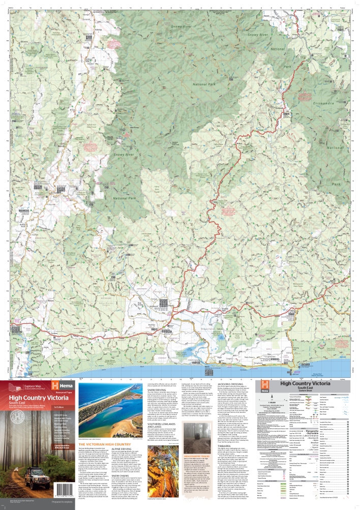
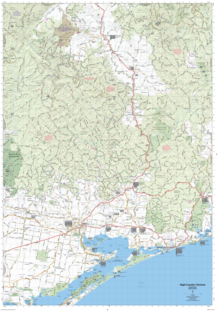
Scale: 1:100,000 | Size: 695 mm x 995 mm | Waterproof & Laminated Options Available
Venture deep into the wild beauty of the Southern Lowlands and Lakes District with the Victorian High Country SE Map, part of Hema’s trusted 1:100,000 adventure series. Covering Gippsland, Snowy River National Park, and surrounding alpine terrain, this detailed topographic map is built for the rugged adventurer—from 4WD explorers to bush campers and hikers.
Meticulously field-checked by the renowned Hema Map Patrol, this map delivers the kind of on-the-ground accuracy only serious explorers rely on.
✅ Why This Map Belongs in Your Kit
Verified 4WD Tracks
Features an extensive network of off-road trails and high-country access routes, all field-verified by Hema’s Map Patrol for accuracy and reliability.
Comprehensive Topographic Detail
Clearly marked contours, watercourses, and terrain features help you read the land as it lies—ideal for bushwalking, navigation, or planning remote travel routes.
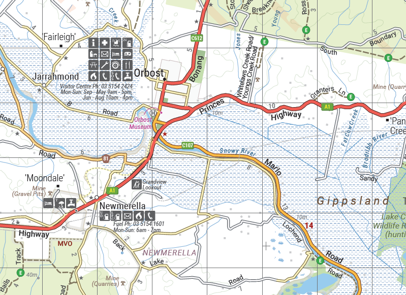
Touring & Camping Points of Interest
-
Huts and historic townsites
-
Campgrounds and backcountry accommodation
-
Seasonal 4WD track closures
-
Road distances between key points
Complete Road Network
From main arterial roads to minor gravel tracks, the map includes:
-
Touring routes and unsealed roads
-
Riverside tracks and mountain passes
-
Access to key landmarks and remote spots
Waterproof & Tear-Resistant Paper
Printed on durable, waterproof stock, this map resists tears, stains, and weather exposure—built to withstand real-world conditions in the field.
🖊️ Optional Laminated Version
Choose the laminated option for:
-
Write-on, wipe-off convenience with whiteboard markers
-
Map dot compatibility for tracking campsites or routes
-
Added durability and long-term resilience
📌 Laminated versions are made by flattening the original folded map and encapsulating it in high-grade plastic. Some fold marks may remain visible but do not affect functionality.
Product Specifications
| Feature | Description |
|---|---|
| Publisher | Hema Maps |
| Map Title | Victorian High Country – South East |
| Coverage Area | Gippsland, Snowy River National Park, Lakes District |
| Scale | 1:100,000 |
| Size (Unfolded) | 695 mm x 995 mm |
| Material | Waterproof paper or laminated (optional) |
| Features Highlighted | 4WD tracks, huts, campsites, seasonal closures, historic sites |
| Field-Checked | Yes – Hema Map Patrol verified |
Perfect For:
✔️ 4WD enthusiasts tackling the Victorian Alps
✔️ Bushwalkers and hikers exploring Snowy River NP
✔️ Tourers and campers heading into Gippsland’s remote corners
✔️ Adventure riders and off-road cyclists
✔️ Outdoor educators and guides
✔️ Wall display for trip planning (especially laminated version)
Detailed, rugged, and accurate—the Victorian High Country South East Map is your go-anywhere, do-everything guide to some of Australia’s most remote and breathtaking landscapes. Built for the real world, backed by the fieldwork of Hema’s experts, and ready to guide your next high-country adventure.
🛒 Choose your format (Waterproof Paper or Laminated) and add to cart today—your gateway to Gippsland, the Snowy River, and beyond.
Frequently Asked Questions
What does the Victorian High Country SE 100K Hema Map cover?
The Victorian High Country SE 100K Hema Map covers 4WD tracks, camping areas, and travel routes for the region described in the product title. Most 4WD and camping guides in Mapworld's range include GPS coordinates, distance information, difficulty ratings, and notes on fuel stops and emergency contact points.
Is the Victorian High Country SE 100K Hema Map up to date?
Yes, this is the current edition. Mapworld stocks current editions from publishers including Hema Maps, Westprint, and others.
Is this product suitable for remote area travel?
Yes, 4WD maps and guides are designed for remote area navigation and trip planning. They include track conditions, fuel availability, camping spots, and safety information.
Does Mapworld ship the Victorian High Country SE 100K Hema Map across Australia?
Yes, Mapworld ships Australia-wide. Standard shipping is a flat $7 rate, with free standard shipping on orders over $75. Express options are available at checkout. Most orders placed before 2pm AEST on weekdays are dispatched same day.
Related Items


© 2026 Mapworld. Website designed by Genie Media
X