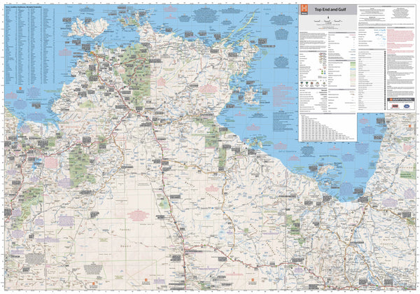
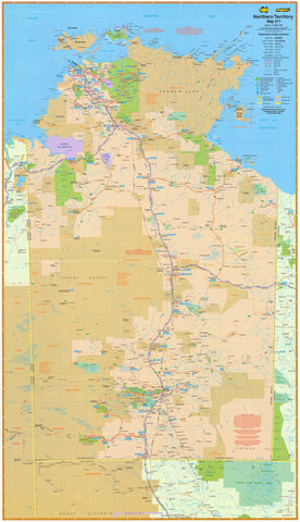
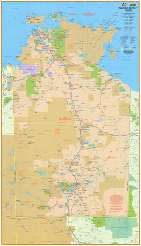
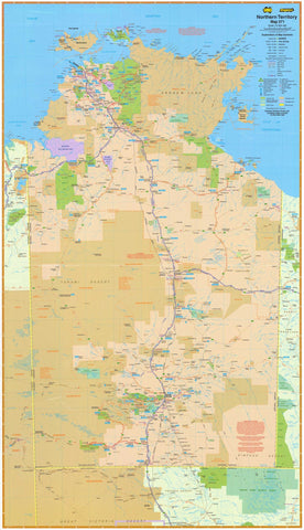
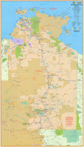
Northern Australia | GPS-Verified | National Parks & 4WD Tracks | 1000 × 700 mm
Navigate the rugged beauty and remote frontiers of Australia’s Top End and Gulf Country with this highly detailed laminated wall map by Hema Maps—Australia’s most trusted name in outback cartography. Designed for travellers, 4WD enthusiasts, and regional planners alike, this map combines field-checked accuracy with new digital cartography, providing one of the most up-to-date and comprehensive overviews of this vast and iconic landscape.
🧭 Key Features
| Feature | Details |
|---|---|
| Coverage | From the western border of WA to the Gulf of Carpentaria |
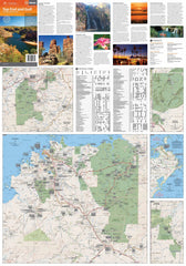
| Special Inset Maps | Darwin Region, Kakadu, Litchfield, Keep River, Gregory, Boodjamulla, Nhulunbuy |
| Roads & Tracks | GPS-surveyed main roads, 4WD tracks, and remote outback routes |
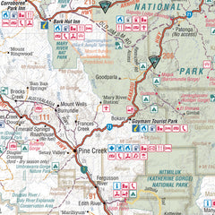
| Points of Interest | Campsites, fuel stops, heritage sites, natural attractions |
| National Parks | Detailed insets with walking trails and park access |
| Coordinates | GPS grid and coordinates at key junctions and localities |
🏞️ A Closer Look
Hema’s Top End & Gulf map delivers exceptional clarity and legibility, making it ideal for wall display while remaining practical for route planning.
Newly updated with digital cartography, the map includes:
-
Extensive GPS-verified data from field expeditions
-
Inset detail of some of Australia’s most remote and breathtaking parks including:
-
Kakadu National Park
-
Litchfield National Park
-
Gregory National Park
-
Keep River
-
Nhulunbuy and the Gove Peninsula
-
Boodjamulla (Lawn Hill) National Park
-
With distances clearly marked and campsites, fuel stations, and major turn-offs shown, it’s perfect for trip planning and back-of-the-door inspiration alike.
📌 Practical Format
This version comes laminated, allowing you to:
-
Use whiteboard markers to sketch routes or plans
-
Apply removable map dots to mark campsites or places visited
-
Wipe clean easily without damaging the surface
The lamination also increases durability, protecting your map against creases, tears, moisture, and general wear-and-tear.
Please note: As this edition is produced from a previously folded map, minor fold lines may still be visible beneath the laminate.
📐 Specifications
-
Scale: 1:1,650,000
-
Size: 1000 mm (W) × 700 mm (H)
-
Edition: Updated with all-new digital cartography and GPS coordinates
-
Publisher: Hema Maps – proudly Australian
Whether you’re gearing up for a remote overland expedition or simply want to bring the spirit of the Top End into your home or office, this map delivers both functionality and inspiration.


