- Australia ▾
- Topographic
▾
- Australia AUSTopo 250k (2024)
- Australia 50k Geoscience maps
- Australia 100k Geoscience maps
- Australia 250k Geoscience maps
- Australia 1.1m Geoscience maps
- New Zealand 50k maps
- New Zealand 250k maps
- New South Wales 25k maps
- New South Wales 50k maps
- New South Wales 100k maps
- Queensland 10k maps
- Queensland 25k maps
- Queensland 50k maps
- Queensland 100k maps
- Compasses
- Software
- GPS Systems
- Orienteering
- International ▾
- Wall Maps
▾
- World
- Australia & New Zealand
- Countries, Continents & Regions
- Historical
- Vintage National Geographic
- Australian Capital Territory
- New South Wales
- Northern Territory
- Queensland
- South Australia
- Tasmania
- Victoria
- Western Australia
- Celestial
- Children's
- Mining & Resources
- Wine Maps
- Healthcare
- Postcode Maps
- Electoral Maps
- Nautical ▾
- Flags
▾
- Australian Flag Sets & Banners
- Flag Bunting
- Handwavers
- Australian National Flags
- Aboriginal Flags
- Torres Strait Islander Flags
- International Flags
- Flagpoles & Accessories
- Australian Capital Territory Flags
- New South Wales Flags
- Northern Territory Flags
- Queensland Flags
- South Australia Flags
- Tasmania Flags
- Victoria Flags
- Western Australia Flags
- Gifts ▾
- Globes ▾
Dear valued customer. Please note that our checkout is not supported by old browsers. Please use a recent browser to access all checkout capabilities


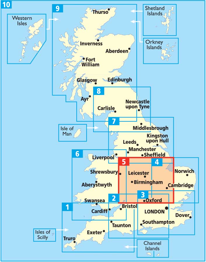
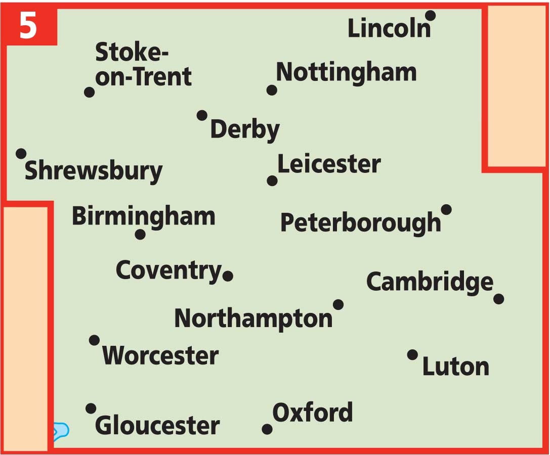
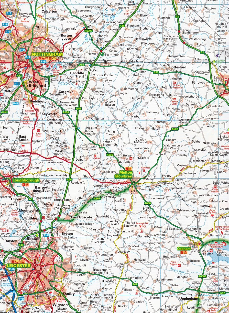
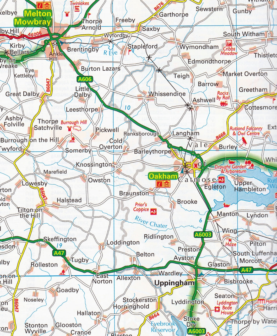
Midlands & Central England AA Road Map 5
$19.95
Afterpay is only available for orders between $50.00 and $1000.00 More info
Scale: 1:200,000 (3 miles to 1 inch / 2km to 1cm)
Format: Folded paper map
Size (unfolded): 1200 mm x 980 mm
Publisher: AA (Automobile Association)
Edition: 2024 – Fully Updated
🗺️ Your Essential Road Companion Through England’s Heartland
Whether you're exploring the idyllic lanes of the Cotswolds, navigating business routes through the West Midlands, or road-tripping across central England, the AA Midlands & Central England Road Map is your indispensable guide.
Produced by the trusted Automobile Association, this clear and easy-to-read regional map combines road network precision with valuable travel information—ideal for holidaymakers, day-trippers, and professional drivers alike.
🧭 Key Features at a Glance
✔️ Fully updated 2024 edition with the latest road changes
✔️ Speed camera locations shown, including those with speed limits
✔️ 8 detailed city centre plans for urban navigation:
-
Birmingham
-
Derby
-
Leicester
-
Cheltenham
-
Coventry
-
Milton Keynes
-
Nottingham
-
Wolverhampton
✔️ National Parks & scenic highlights clearly marked
✔️ Toll roads, service areas, and road classifications for route planning
✔️ Caravan & camping sites pinpointed for touring convenience
✔️ National Trust, English Heritage, Welsh & Scottish Heritage sites displayed
✔️ Clear place name index to quickly locate towns, villages, and landmarks
✔️ Encased in a weather-resistant cover for travel durability
🗺️ Coverage Area
This map covers a wide central band of England, including:
-
The Cotswolds Area of Outstanding Natural Beauty
-
Key urban centres: Birmingham, Coventry, Nottingham, and Leicester
-
The Peak District’s southern edge
-
Stratford-upon-Avon, Warwick, and Oxfordshire fringe
-
Parts of Shropshire, Staffordshire, and Northamptonshire
Whether you’re chasing heritage sites, country pubs, stately homes, or rural walking routes—this map keeps you confidently on course.
📐 Product Specifications
| Feature | Details |
|---|---|
| Scale | 1:200,000 (3 miles to 1 inch) |
| Unfolded Size | 1200 mm x 980 mm |
| Format | Folded paper map |
| Map Type | Road & Touring Map |
| City Plans Included | 8 major urban centres |
| Speed Cameras | Yes, with speed limits |
| Campgrounds Shown | Yes |
| Heritage Sites | NT, EH, WHS, SHS indicated |
| Publisher | AA (UK) |
| Publication Year | 2024 |
🎯 Who Is This Map For?
🧳 Leisure travellers & holidaymakers looking to explore Central England by car
🚐 Touring caravan & camping enthusiasts
🚗 Professional drivers, couriers, and logistics planners
📚 Students, educators & researchers needing regional detail
🎁 Gift buyers seeking a practical and informative present for UK road trippers
🚚 Delivery Note
This is a stocked product. Ships within 1–3 business days.
Discover the road less travelled—or the quickest route to your next meeting—with the Midlands & Central England AA Road Map 5. Packed with detail, built to last, and designed for real journeys across the heart of England.


