- Australia ▾
- Topographic
▾
- Australia AUSTopo 250k (2025)
- Australia 50k Geoscience maps
- Australia 100k Geoscience maps
- Australia 250k Geoscience maps
- Australia 1:1m Geoscience maps
- New Zealand 50k maps
- New Zealand 250k maps
- New South Wales 25k maps
- New South Wales 50k maps
- New South Wales 100k maps
- Queensland 10k maps
- Queensland 25k maps
- Queensland 50k maps
- Queensland 100k maps
- Compasses
- Software
- GPS Systems
- Orienteering
- International ▾
- Wall Maps
▾
- World
- Australia & New Zealand
- Countries, Continents & Regions
- Historical
- Vintage National Geographic
- Australian Capital Territory
- New South Wales
- Northern Territory
- Queensland
- South Australia
- Tasmania
- Victoria
- Western Australia
- Celestial
- Children's
- Mining & Resources
- Wine Maps
- Healthcare
- Postcode Maps
- Electoral Maps
- Nautical ▾
- Flags
▾
- Australian Flag Sets & Banners
- Flag Bunting
- Handwavers
- Australian National Flags
- Aboriginal Flags
- Torres Strait Islander Flags
- International Flags
- Flagpoles & Accessories
- Australian Capital Territory Flags
- New South Wales Flags
- Northern Territory Flags
- Queensland Flags
- South Australia Flags
- Tasmania Flags
- Victoria Flags
- Western Australia Flags
- Gifts ▾
- Globes ▾
Dear valued customer. Please note that our checkout is not supported by old browsers. Please use a recent browser to access all checkout capabilities
World Political Supermap 1440 x 840mm (Africa Centred) Cosmographics 2025
$99.95
or make 4 interest-free payments of
$24.99 AUD
fortnightly with
![]() More info
More info
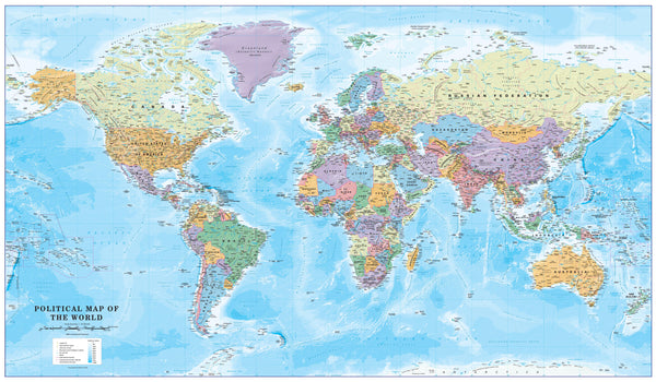
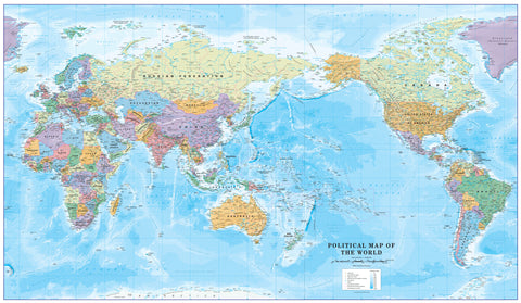
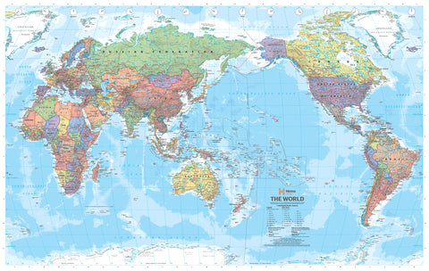
The Africa-Centred World Supermap by Cosmographics invites you to look at the world in a way that challenges convention and encourages new perspectives. Unlike traditional Eurocentric world maps, this edition re-centres Africa on the page—the birthplace of humanity and a true crossroads of civilizations.
Whether you’re an educator seeking to inspire your students, a professional enriching your office space, or a map collector looking for a thought-provoking centrepiece, this map is more than a reference: it’s a reframe of the world itself.
🗺️ Key Map Features
| Feature | Description |
|---|---|
| Projection | Miller Cylindrical – clean, proportional, ideal for wall display |
| Orientation | Africa-Centred – challenges conventional Western-centric views |
| Design | Political/Physical Hybrid – countries, oceans, terrain, and cities |
| Ocean Depth Shading | Subtle bathymetric gradients for visual depth |
| Colour Coding | Each nation uniquely shaded for clarity and beauty |
| Labeling | Major cities, capitals, and oceans clearly marked |
| Grid System | Latitude and longitude grid included |
📐 Specifications
-
Publisher: Cosmographics (UK)
-
Edition: 2025
-
Size: 1400 mm (W) x 840 mm (H)
-
Scale: 1:30,000,000
-
Map Type: Hybrid Political & Physical
-
Projection: Miller Cylindrical
🖨️ Choose Your Finish
📄 Paper (160 gsm)
-
Crisp and professional quality print
-
Ships rolled in a protective tube
-
Ideal for framing under glass
💧 Laminated (Encapsulated Gloss)
-
Printed on paper and sealed between two 80-micron layers of gloss laminate
-
Durable, waterproof, and compatible with whiteboard markers
-
Excellent for planning and education
🖼️ Canvas (395 gsm HP Matte)
-
Printed with fade-resistant pigment inks on museum-quality matte canvas
-
Beautiful texture and rich colours
-
Ships rolled or with optional wooden hang rails
Add Timber Hang Rails
-
Available for laminated and canvas maps
-
Includes top and bottom natural lacquered timber rails
-
Top rail fitted with hanging cord for single-hook display
-
Ideal for executive offices, homes, or classrooms
-
Please allow 7–10 business days for hang rail assembly
Who Should Own This Map?
-
🌍 Teachers & Educators – Reinforce global awareness and diverse worldviews
-
🧭 Travel Enthusiasts – Pin your travels and plan your next destination
-
🏢 Business Professionals – Strategically visualize global operations
-
📚 Students & Researchers – A powerful visual tool for learning
-
🖼️ Interior Designers – Bring sophistication and substance to any space
📦 Delivery Information
-
Standard formats (paper, laminated, canvas without hang rails): Ship in 1–2 business days
-
Canvas with hang rails: Custom-framed and shipped within 10 business days
-
All maps are carefully rolled and shipped in reinforced tubes
More Than a Map – A New Way of Seeing
The Africa-Centred World Supermap doesn’t just chart geography—it redefines it. With its balanced design and thoughtful orientation, it sparks conversation, curiosity, and change. Make it the heart of your space and the beginning of a bigger, broader worldview.


