- Australia ▾
- Topographic
▾
- Australia AUSTopo 250k (2025)
- Australia 50k Geoscience maps
- Australia 100k Geoscience maps
- Australia 250k Geoscience maps
- Australia 1:1m Geoscience maps
- New Zealand 50k maps
- New Zealand 250k maps
- New South Wales 25k maps
- New South Wales 50k maps
- New South Wales 100k maps
- Queensland 10k maps
- Queensland 25k maps
- Queensland 50k maps
- Queensland 100k maps
- Compasses
- Software
- GPS Systems
- Orienteering
- International ▾
- Wall Maps
▾
- World
- Australia & New Zealand
- Countries, Continents & Regions
- Historical
- Vintage National Geographic
- Australian Capital Territory
- New South Wales
- Northern Territory
- Queensland
- South Australia
- Tasmania
- Victoria
- Western Australia
- Celestial
- Children's
- Mining & Resources
- Wine Maps
- Healthcare
- Postcode Maps
- Electoral Maps
- Nautical ▾
- Flags
▾
- Australian Flag Sets & Banners
- Flag Bunting
- Handwavers
- Australian National Flags
- Aboriginal Flags
- Torres Strait Islander Flags
- International Flags
- Flagpoles & Accessories
- Australian Capital Territory Flags
- New South Wales Flags
- Northern Territory Flags
- Queensland Flags
- South Australia Flags
- Tasmania Flags
- Victoria Flags
- Western Australia Flags
- Gifts ▾
- Globes ▾
Dear valued customer. Please note that our checkout is not supported by old browsers. Please use a recent browser to access all checkout capabilities
Executive World Maps International 2024 1360 x 840mm Wall Map
$99.95
or make 4 interest-free payments of
$24.99 AUD
fortnightly with
![]() More info
More info
Size: 1369 mm (W) x 840 mm (H)
Scale: 1:30,000,000
Style: Africa-Centred | Political | Earth-Toned
Available Finishes: Paper | Laminated | Canvas
Printed in Australia
A Classic World Map for the Modern World
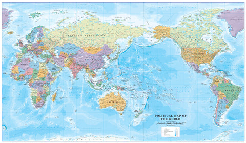
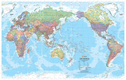
This Executive World Map by Maps International is more than just a reference tool—it’s a refined visual statement for home, office, boardroom or classroom. Featuring an Africa-centred perspective, this elegant wall map positions Africa and Europe front and cetntre, offereing a traditional view of the world.
Crafted using subdued earth-tone colours, this map is a premium alternative to bright, traditional world maps. Each country is subtly shaded to distinguish borders while maintaining a calm and harmonious aesthetic. Mountain ranges are rendered in gentle relief, and ocean depths are marked in soft greys, adding texture and depth without distracting from readability.
Whether you're planning travels, decorating your study, or teaching global geography, this map combines sophistication, clarity, and utility in a way few others can.
🌟 Key Features
-
Updated Political Detail (2024 Edition)
All borders, countries, and major cities reflect the latest geopolitical changes. -
Elegant Executive Styling
Soft earth tones create a calm and distinguished aesthetic. Perfect for upscale interiors. -
Subtle Topographic Relief
Includes shaded relief of mountain ranges, ocean depth contours, and underwater features like trenches and ridges. -
Educational Insets
Smaller maps in the lower corners illustrate global population density, land use, vegetation, and climate zones. -
Printed on Archival-Quality Paper
Rich detail using fade-resistant pigment inks for lasting vibrancy and crispness.
🖼 Finish Options & Display Ideas
| Finish Type | Description | Ideal For |
|---|---|---|
| Paper (160 gsm) | Matte-coated heavyweight stock. Ideal for framing under glass. | Home studies, offices, gift-giving |
| Laminated (Encapsulated) | Twin-sheet gloss lamination (80 micron). "Write-on, wipe-off" surface using whiteboard markers. | Classrooms, offices, planning rooms |
| Canvas (395 gsm Matte) | Printed on museum-grade HP Professional Matte Canvas with pigment-based inks. Fade-resistant, luxurious texture. | Interior décor, showrooms, heritage spaces |
Laminated & Canvas Hanging Option
Enhance your laminated or canvas map with timber hang rails, stained in a natural lacquer finish. These are attached top and bottom with a matching hanging cord for easy display—no framing required.
📦 Please allow up to 10 working days for production of hang rail maps.
📏 Specifications
| Feature | Details |
|---|---|
| Dimensions | 1369 mm (wide) x 840 mm (high) |
| Scale | 1:30,000,000 |
| Projection | Africa-Centred |
| Map Type | Political (Country Borders + Capitals) |
| Publisher | Maps International |
| Material Options | Paper / Laminated / Canvas |
| Print Technology | Fade-resistant HP pigment inks |
| Printed & Finished | In Australia |
🎁 Why This Map?
-
✅ Stylish addition to any space – Brings an intelligent, international flair to your wall
-
✅ Incredible detail – Ideal for educators, travel professionals, or the eternally curious
-
✅ Durable display options – Designed to last for years with archival finishes
-
✅ Great gift for global thinkers – Perfect for travellers, students, and business leaders
🌐 A Global Perspective, Framed Your Way
From boardrooms in Sydney to bedrooms in Byron, this executive world map is equally at home in professional and personal settings. Whether you're building a gallery wall, tracking your travels, or simply admiring the geography of the planet, this map offers form, function, and finesse in every square centimetre.
Availability:
-
Ships rolled in a sturdy mailing tube (for paper or laminated options)
-
Laminated and Canvas versions with hang rails are made to order – please allow 10 working days.


