- Australia ▾
- Topographic
▾
- Australia AUSTopo 250k (2024)
- Australia 50k Geoscience maps
- Australia 100k Geoscience maps
- Australia 250k Geoscience maps
- Australia 1.1m Geoscience maps
- New Zealand 50k maps
- New Zealand 250k maps
- New South Wales 25k maps
- New South Wales 50k maps
- New South Wales 100k maps
- Queensland 10k maps
- Queensland 25k maps
- Queensland 50k maps
- Queensland 100k maps
- Compasses
- Software
- GPS Systems
- Orienteering
- International ▾
- Wall Maps
▾
- World
- Australia & New Zealand
- Countries, Continents & Regions
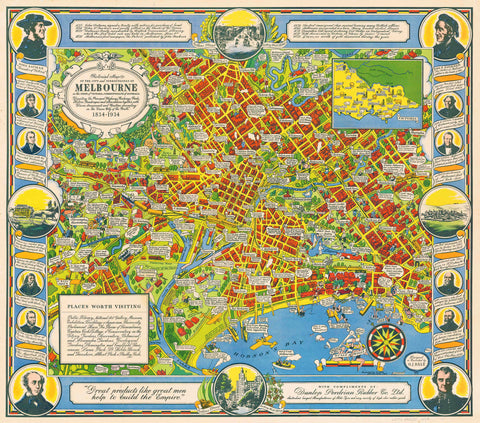
- Historical
- Vintage National Geographic
- Australian Capital Territory
- New South Wales
- Northern Territory
- Queensland
- South Australia
- Tasmania
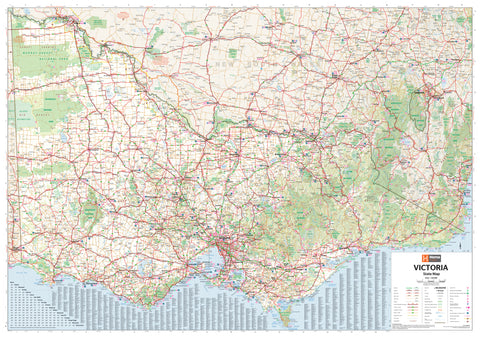
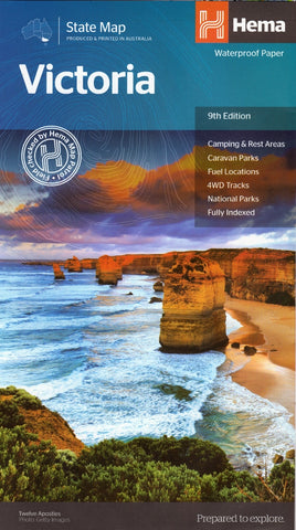
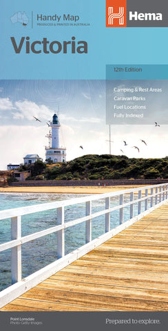
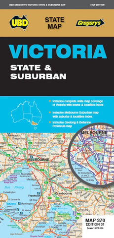
- Victoria
- Western Australia
- Celestial
- Children's
- Mining & Resources
- Wine Maps
- Healthcare
- Postcode Maps
- Electoral Maps
- Nautical ▾
- Flags
▾
- Australian Flag Sets & Banners
- Flag Bunting
- Handwavers
- Australian National Flags
- Aboriginal Flags
- Torres Strait Islander Flags
- International Flags
- Flagpoles & Accessories
- Australian Capital Territory Flags
- New South Wales Flags
- Northern Territory Flags
- Queensland Flags
- South Australia Flags
- Tasmania Flags
- Victoria Flags
- Western Australia Flags
- Gifts ▾
- Globes ▾
Dear valued customer. Please note that our checkout is not supported by old browsers. Please use a recent browser to access all checkout capabilities


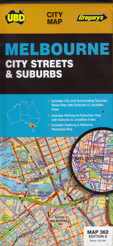
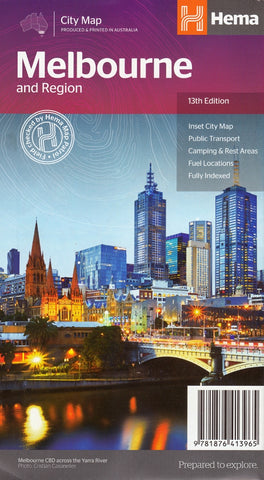
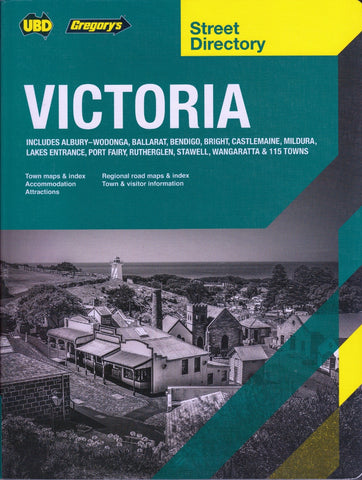
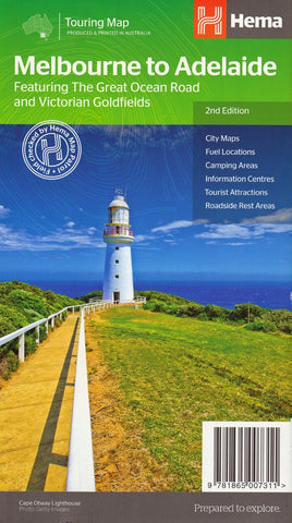
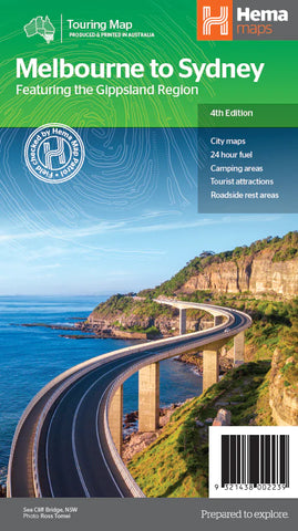
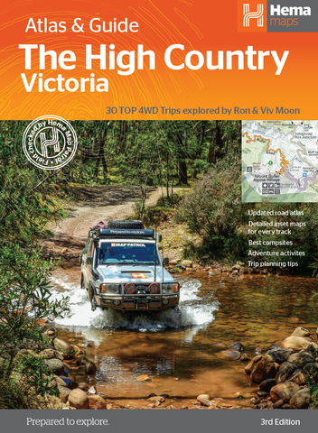
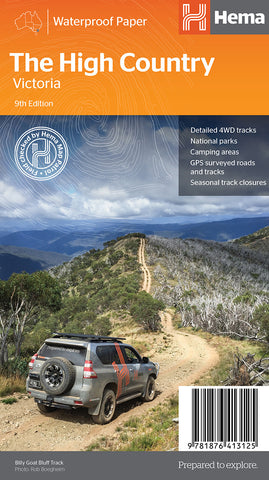
Victoria - Maps, Guides, Road Atlases, Digital Mapping & Street Directories
Victoria wall maps, road atlases, folded maps, and street directories provide a detailed and reliable way to navigate one of Australia’s most varied and vibrant states. From Melbourne’s complex suburban sprawl to the Great Ocean Road, the High Country, and the rural heartland, these maps cover every corner with clarity and precision.
Our collection includes large-format wall maps ideal for planning and display, robust road atlases for long-distance travel and touring, compact folded maps for easy reference on the go, and comprehensive street directories for navigating Melbourne and regional centres. Whether you're commuting, exploring, teaching, or managing logistics, Victoria maps are essential tools for understanding and moving through the state with confidence.