- Australia ▾
- Topographic
▾
- Australia AUSTopo 250k (2025)
- Australia 50k Geoscience maps
- Australia 100k Geoscience maps
- Australia 250k Geoscience maps
- Australia 1:1m Geoscience maps
- New Zealand 50k maps
- New Zealand 250k maps
- New South Wales 25k maps
- New South Wales 50k maps
- New South Wales 100k maps
- Queensland 10k maps
- Queensland 25k maps
- Queensland 50k maps
- Queensland 100k maps
- Western Australia 25k maps
- Western Australia 50k maps
- Western Australia 100k maps
- Compasses
- Software
- GPS Systems
- International ▾
- Wall Maps
▾
- World
- Australia & New Zealand
- Countries, Continents & Regions
- Historical
- Vintage National Geographic
- Australian Capital Territory
- New South Wales
- Northern Territory
- Queensland
- South Australia
- Tasmania
- Victoria
- Western Australia
- Celestial
- Children's
- Mining & Resources
- Wine Maps
- Healthcare
- Postcode Maps
- Electoral Maps
- Nautical ▾
- Flags
▾
- Australian Flag Sets & Banners
- Flag Bunting
- Handwavers
- Australian National Flags
- Aboriginal Flags
- Torres Strait Islander Flags
- International Flags
- Flagpoles & Accessories
- Australian Capital Territory Flags
- New South Wales Flags
- Northern Territory Flags
- Queensland Flags
- South Australia Flags
- Tasmania Flags
- Victoria Flags
- Western Australia Flags
- Gifts ▾
- Globes ▾
Dear valued customer. Please note that our checkout is not supported by old browsers. Please use a recent browser to access all checkout capabilities


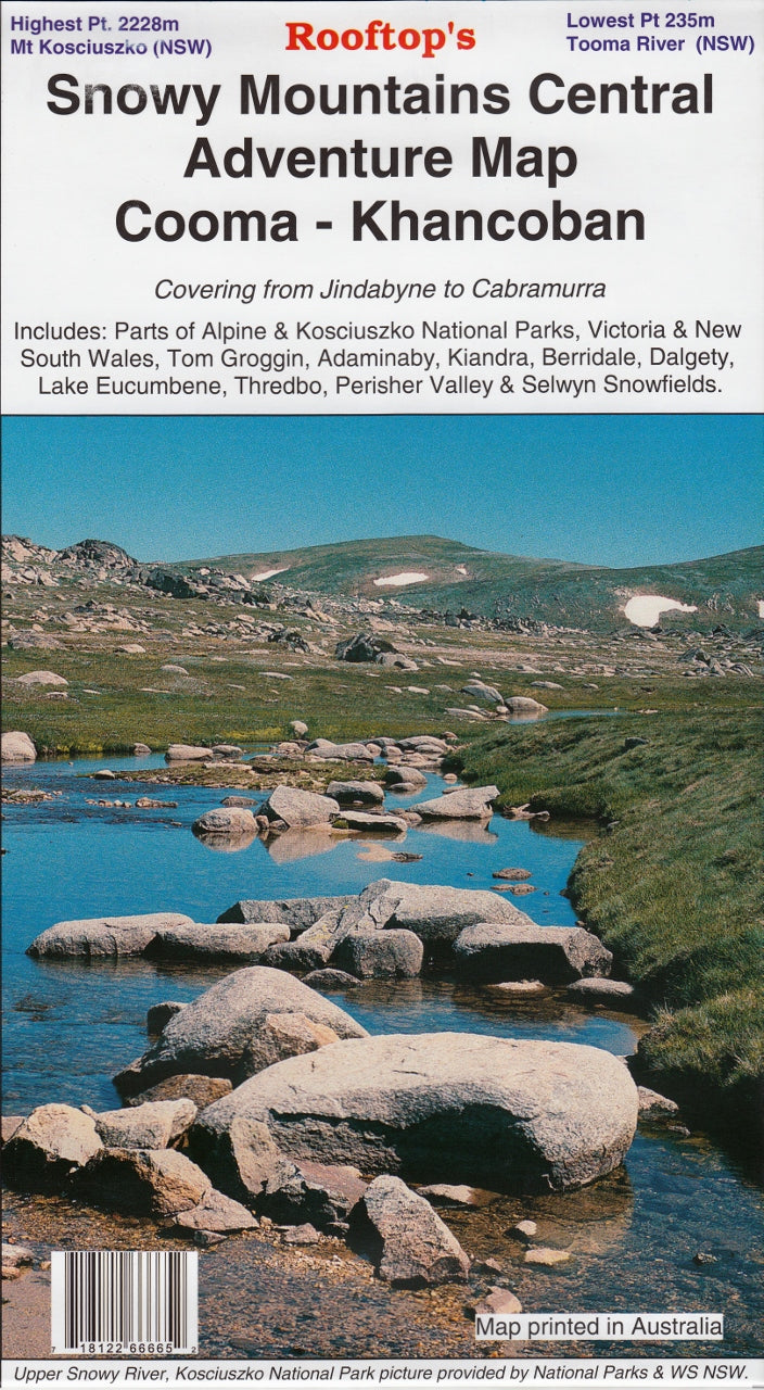
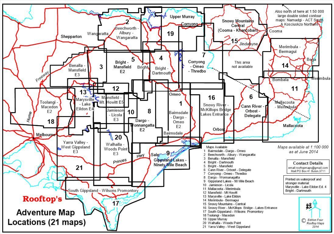
Snowy Mountains Central (Cooma - Khancoban) Adventure Map Rooftop
$49.95
Afterpay is only available for orders between $50.00 and $1000.00 More info
Explore the Heart of the Australian Alps | Featuring Kosciuszko & Alpine National Parks | Double-Sided Topographic Map
From alpine peaks to high-country rivers, this is your ultimate map for navigating the dramatic wilderness of the Snowy Mountains. Created by Australia’s premier map publisher for outdoor exploration, Rooftop Maps, the Snowy Mountains Central (Cooma–Khancoban) Adventure Map is a meticulously crafted guide for bushwalkers, four-wheel drivers, anglers, and high country travellers. Whether you're heading to Thredbo, fishing Lake Eucumbene, or trekking up Mount Kosciuszko, this map is built to help you get there—and back again—safely and confidently.
🌲 What’s Covered?
The map provides comprehensive coverage across the central Snowy Mountains region, spanning both New South Wales and the upper reaches of the Australian Alps:
-
🏞️ National Parks: Detailed sections of Kosciuszko National Park and Alpine National Park, including alpine terrain, subalpine woodlands, and heritage sites.
-
🚗 Key Towns & Destinations:
-
Cooma – the gateway to the Snowy Mountains
-
Adaminaby & Old Adaminaby – steeped in hydro history
-
Kiandra – a historic goldfields town
-
Thredbo & Perisher Valley – premier alpine resorts
-
Selwyn Snowfields, Berridale, Dalgety, Khancoban, Tom Groggin
-
Lake Eucumbene – renowned for trout fishing and boating
-
-
🛣️ Tracks & Trails:
-
4WD routes
-
Bushwalking tracks
-
Remote alpine access routes and summit trails
-
This map is ideal for year-round planning, from summer hiking and fishing trips to winter snowfield access.
🗺️ Map Features
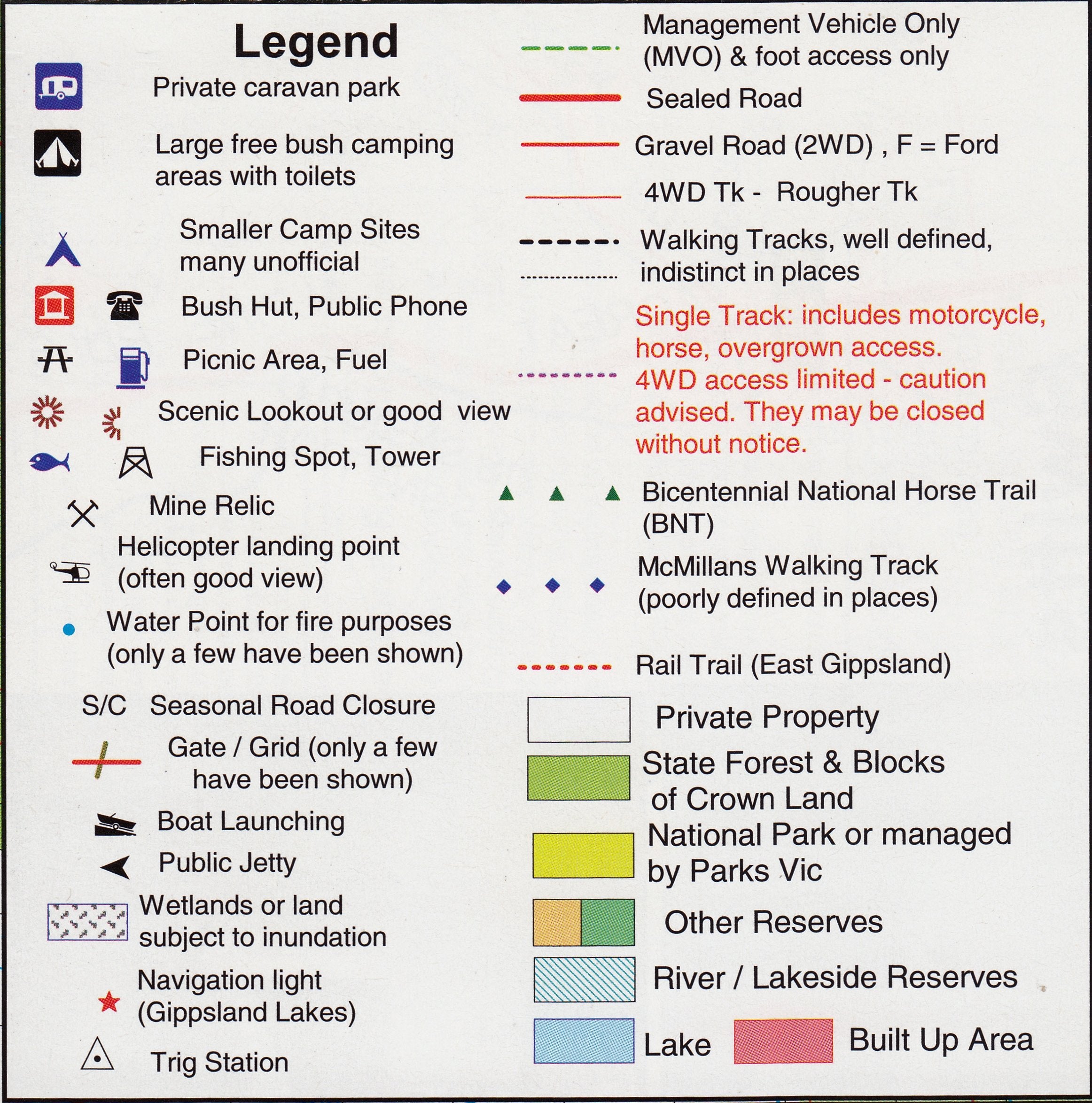
Engineered for practical field use, this map incorporates a wealth of cartographic detail:
| Feature | Description |
|---|---|
| Scale | 1:100,000 main map; additional insets at 1:25,000 and 1:70,000 |
| Contours & Elevation | Clear topographic lines and spot heights help with terrain awareness |
| Bush Huts | Includes locations of 40+ bush huts with notes on condition & access |
| Walking & Vehicle Tracks | Graded by difficulty and usage type—perfect for 4WD, hikers, and mountain bikers |
| Watercourses & Lakes | Rivers, creeks, lakes, dams—essential for anglers and paddlers |
| Points of Interest | Campsites, lookouts, waterfalls, alpine huts, picnic grounds, and more |
| Hazards & Warnings | Notes on weather exposure, remote areas, unmarked trails |
🔍 Reverse Side Enhancements
The reverse of the map includes critical enlargements and specialty maps:
-
🧭 Mount Kosciuszko Summit Access Map
-
Details the routes from Thredbo, Charlotte Pass, and Rawson Pass
-
Marked elevation gain and trail difficulty ratings
-
-
🌊 Lake Eucumbene Fishing & Access Map (1:70,000)
-
Boat ramps, campsites, fish stocking locations, and more
-
-
🛖 Bush Hut Heritage Map
-
A dedicated map showing approximately 40 traditional huts with descriptions
-
-
🧱 Kiandra Region Inset
-
A zoomed-in map of this historic former gold mining town
-
📐 Map Specifications
| Specification | Details |
|---|---|
| Publisher | Rooftop Mapping Services |
| Map Format | Double-sided, full-colour topographic map |
| Main Map Scale | 1:100,000 |
| Inset Scales | 1:25,000 and 1:70,000 (Mount Kosciuszko, Lake Eucumbene) |
| Size (Unfolded) | 1015 mm x 700 mm |
| Size (Folded) | Approx. 250 mm x 150 mm |
| Edition | Most recent edition (please confirm year if needed) |
| ISBN | 718122666652 |
💧 Optional Laminated Version Available
Upgrade your map to the laminated edition for durability and interactivity:
-
✅ Draw routes and notes with whiteboard markers
-
✅ Use map dots to mark favourite spots or planned stops
-
✅ Resistant to water, mud, snow, and tearing
-
✅ Ideal for repeat trips, school use, and all-weather conditions
🧭 Who This Map Is For
This map is a trusted companion for:
| Audience | Why It’s Useful |
|---|---|
| 🚶 Bushwalkers | Accurate trails and contours across remote alpine terrain |
| 🚙 4WD Adventurers | Road grades and surface types to plan challenging overland routes |
| 🐟 Anglers | Lake and stream access for fishing and boating |
| 🏕️ Campers | Locate campgrounds, facilities, and hidden picnic spots |
| 🗺️ Tour Planners | Understand distances, terrain, and logistics for group trips |
| 🧑🏫 Educators | A useful teaching tool for geography, conservation, and Australian landscapes |
🌄 Why Choose Rooftop Maps?
Rooftop Mapping Services are known for their unrivalled accuracy and on-the-ground research. Each map is field-checked using GPS and enriched with notes from experienced cartographers who explore the tracks firsthand. The result? A trustworthy and incredibly user-friendly adventure map.
🛒 Get Ready for Your Next High Country Adventure
Whether you're climbing Australia’s highest peak, setting up camp in the alpine wilderness, or just discovering the charm of high-country towns, the Snowy Mountains Central Adventure Map puts everything you need at your fingertips. Pair it with a compass or GPS, and you’re ready to explore one of Australia’s most majestic regions.
Order now and prepare to discover Kosciuszko country like never before.
Frequently Asked Questions
Where can I buy the Snowy Mountains Central (Cooma - Khancoban) Adventure Map Rooftop?
The Snowy Mountains Central (Cooma - Khancoban) Adventure Map Rooftop is available to buy online from Mapworld, Australia's largest map and geographic product retailer, with fast shipping Australia-wide.
Is the Snowy Mountains Central (Cooma - Khancoban) Adventure Map Rooftop in stock at Mapworld?
Mapworld maintains extensive stock across its map range and aims for fast dispatch. Orders placed before 2pm AEST on business days are typically dispatched the same day, with standard and express Australia-wide delivery options available.
What is Mapworld's returns policy?
Mapworld accepts returns on undamaged items in original condition. Contact Mapworld within 90 days of purchase to arrange a return or exchange.
Does Mapworld ship the Snowy Mountains Central (Cooma - Khancoban) Adventure Map Rooftop across Australia?
Yes, Mapworld ships Australia-wide. Standard shipping is a flat $7 rate, with free standard shipping on orders over $75. Express options are available at checkout. Most orders placed before 2pm AEST on weekdays are dispatched same day.
Related Items


© 2026 Mapworld. Website designed by Genie Media
X