- Australia ▾
- Topographic
▾
- Australia AUSTopo 250k (2025)
- Australia 50k Geoscience maps
- Australia 100k Geoscience maps
- Australia 250k Geoscience maps
- Australia 1:1m Geoscience maps
- New Zealand 50k maps
- New Zealand 250k maps
- New South Wales 25k maps
- New South Wales 50k maps
- New South Wales 100k maps
- Queensland 10k maps
- Queensland 25k maps
- Queensland 50k maps
- Queensland 100k maps
- Western Australia 25k maps
- Western Australia 50k maps
- Western Australia 100k maps
- Compasses
- Software
- GPS Systems
- International ▾
- Wall Maps
▾
- World
- Australia & New Zealand
- Countries, Continents & Regions
- Historical
- Vintage National Geographic
- Australian Capital Territory
- New South Wales
- Northern Territory
- Queensland
- South Australia
- Tasmania
- Victoria
- Western Australia
- Celestial
- Children's
- Mining & Resources
- Wine Maps
- Healthcare
- Postcode Maps
- Electoral Maps
- Nautical ▾
- Flags
▾
- Australian Flag Sets & Banners
- Flag Bunting
- Handwavers
- Australian National Flags
- Aboriginal Flags
- Torres Strait Islander Flags
- International Flags
- Flagpoles & Accessories
- Australian Capital Territory Flags
- New South Wales Flags
- Northern Territory Flags
- Queensland Flags
- South Australia Flags
- Tasmania Flags
- Victoria Flags
- Western Australia Flags
- Gifts ▾
- Globes ▾
Dear valued customer. Please note that our checkout is not supported by old browsers. Please use a recent browser to access all checkout capabilities


Tasmania - Maps, Guides, Road Atlases, Digital Mapping & Street Directories
Tasmania wall maps, road atlases, folded maps, and street directories offer a clear and practical way to explore Australia’s island state—from Hobart’s winding streets to the wild west coast, alpine highlands, and remote coastal towns. Whether you’re planning a scenic drive, navigating Tassie’s national parks, or managing regional travel, these resources provide accurate, up-to-date detail for every kind of journey.
Our collection includes large wall maps for planning and display, durable road atlases ideal for touring, handy folded maps for travellers on the move, and street directories perfect for navigating urban areas like Hobart, Launceston, and Devonport. Whether you're a tourist, educator, delivery driver, or proud local, Tasmania maps are essential tools for seeing more of this beautiful and varied state—with confidence and ease.


About Tasmania Maps
Tasmania is Australia's most concentrated map destination — 68,000 square kilometres but with more World Heritage wilderness, more named bushwalking tracks, and a higher density of national parks than any other state. From the iconic Overland Track and Three Capes Track to the Tasman Peninsula, Freycinet, Cradle Mountain-Lake St Clair, the Walls of Jerusalem and the Western Arthurs, serious walkers and travellers need detailed cartography to do the state justice.
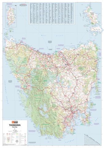
Mapworld stocks Tasmania maps from every major publisher — TASMAP (the official Tasmanian government topographic and regional series), Hema (touring), UBD-Gregory's (street directories), plus dedicated bushwalking and adventure maps. The TASMAP regional series is particularly important — it covers the state at 1:250,000 in four sheets and is the standard touring reference for serious Tasmania travel.
Tasmania Map Types Explained
TASMAP Regional & Touring Maps
TASMAP is the official Tasmanian state mapping series, produced by the Department of Natural Resources and Environment Tasmania. The regional series at 1:250,000 covers the whole state in four sheets:
- Tasmania North West — Stanley, Cradle Mountain, the Tarkine, Strahan
- Tasmania North East — Launceston, Bay of Fires, the Tasman Peninsula east coast
- Tasmania South West — Strathgordon, the Western Arthurs, South West National Park
- Tasmania South East — Hobart, Bruny Island, the Tasman Peninsula, Freycinet, Maria Island
Each is available in paper and laminated formats. For most travellers, the South East sheet (covering Hobart, Freycinet and the Tasman Peninsula) is the most-used.
Bushwalking & Adventure Topographic Maps
Tasmania's bushwalking is world-class, and the topographic mapping reflects that. TASMAP publishes 1:25k and 1:50k sheets covering the major walking destinations, including dedicated map sheets for:
- Cradle Mountain — Lake St Clair National Park (the Overland Track)
- Walls of Jerusalem National Park
- Frenchmans Cap and the Western Arthurs
- Tasman Peninsula (the Three Capes Track)
- Freycinet Peninsula
- South Coast Track
- Mount Field and the Tarn Shelf
Touring & Wall Maps
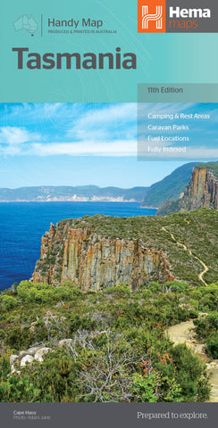
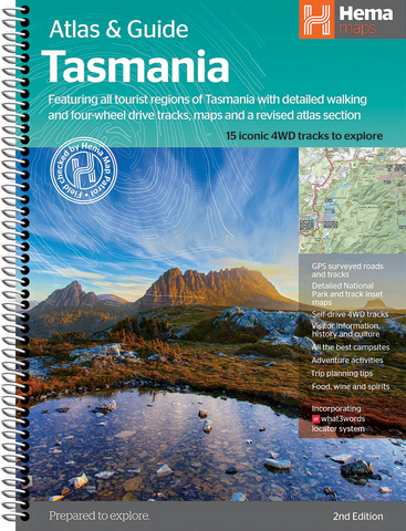
The Hema Tasmania State Map is the standard touring reference for road trips and caravan travel — folded for glove-box use or laminated as a wall map. The Hema Tasmania Supermap (1000 × 1430mm) provides a large-format wall map ideal for trip planning at home.
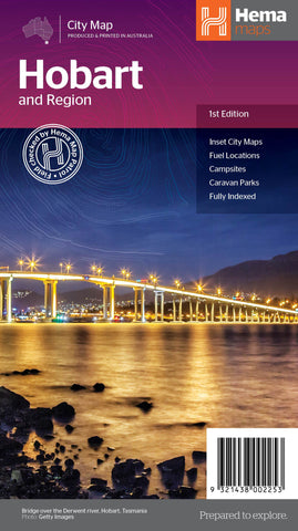
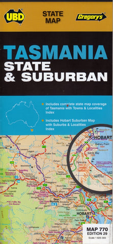
Street Directories & Metro Maps
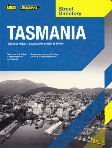
The UBD Tasmania Street Directory covers Hobart, Launceston and the major regional centres in detail — the standard reference for navigating Tasmanian towns and suburbs.
Postcode, Electoral & LGA Maps
The Tasmania Postcode Wall Map covers the state at laminated wall format. The Tasmania Local Government Areas Wall Map shows every council and municipality boundary across the state — ideal for council planning, real estate and government work.
Marine & Nautical Charts
Tasmania's coast is covered by official AUS-numbered Australian Hydrographic Service charts. AUS 173 D'Entrecasteaux Channel is the essential chart for Hobart-area boating; additional charts cover Bass Strait, Macquarie Harbour, the Tasman Peninsula and the East Coast. Browse our dedicated Tasmania nautical charts collection for the full range.
Choosing the Right Tasmania Map by Region
| Region | Recommended map |
|---|---|
| Hobart and surrounds | TASMAP Tasmania South East + UBD Tasmania Street Directory |
| Cradle Mountain / Overland Track | TASMAP Cradle Mountain — Lake St Clair 1:100k + relevant 1:25k sheets |
| Tasman Peninsula / Three Capes Track | TASMAP Tasman Peninsula bushwalking sheet |
| Freycinet / East Coast | TASMAP Freycinet Peninsula + TASMAP Tasmania North East regional |
| North West (Stanley, Strahan, Tarkine) | TASMAP Tasmania North West regional 1:250k |
| Western Arthurs / South West Wilderness | TASMAP Western Arthurs + TASMAP Tasmania South West regional |
| Bay of Fires / Launceston region | TASMAP Tasmania North East regional |
| Bruny Island | TASMAP Tasmania South East + TASMAP Bruny Island sheet |
| Touring / road trip / caravan | Hema Tasmania State Map + UBD Tasmania Street Directory |
| Hobart boating | AUS 173 D'Entrecasteaux Channel nautical chart |
| Real estate / sales / council planning | Tasmania Postcode wall map + Tasmania LGA wall map |
Why Buy Tasmania Maps from Mapworld
- Largest specialist Tasmania range — over 50 Tasmania products in stock
- Full TASMAP coverage — regional, bushwalking, and topographic sheets across the state
- Current editions only — we rotate stock with each new release
- Free shipping over $75 Australia-wide, flat $7 below that
- Custom mapping service — postcode overlays, sales territories, council branding
- Knowledgeable support — call 1300 795 697 for trip planning or product recommendations
Frequently Asked Questions
What is the best map for the Overland Track?
TASMAP's Cradle Mountain — Lake St Clair 1:100k map is the standard overview for the full Overland Track. For walkers who want more detail on specific sections, pair it with the relevant 1:25k or 1:50k topographic sheets covering Cradle Mountain, the Du Cane Range and Lake St Clair.
Are these the latest editions of TASMAP sheets?
Yes. Mapworld stocks current TASMAP editions only. TASMAP updates sheets periodically as new survey data and infrastructure changes come through. Each product page lists the edition year.
Do you ship Tasmania maps interstate?
Yes. Mapworld ships Australia-wide from our Perth warehouse. Free shipping on orders over $75, flat $7 below that. Most metro deliveries arrive in 2 to 5 business days. Express options available at checkout.
What is the difference between Hema Tasmania and the TASMAP regional sheets?
Hema Tasmania is a touring-scale state map with road and trip-planning data — ideal for road-tripping, caravanning and broad regional reference. TASMAP regional sheets at 1:250k are the official state series, with more topographic detail and the same regional coverage but split into four sheets. Most Tasmania travellers carry both: Hema for the trip view, TASMAP for the destination.
Do you stock waterproof or laminated Tasmania bushwalking maps?
Yes. Most TASMAP bushwalking sheets are available in paper, waterproof Tyvek and laminated formats. For multi-day walks like the Overland Track, the South Coast Track, or the Three Capes Track, the waterproof Tyvek format is recommended.
How quickly does Mapworld dispatch Tasmania orders?
Orders placed before 2 pm AWST on weekdays dispatch same-day from our Perth warehouse. Australia-wide delivery typically takes 2 to 7 business days via Australia Post.
© 2026 Mapworld. Website designed by Genie Media
X