- Australia ▾
- Topographic
▾
- Australia AUSTopo 250k (2025)
- Australia 50k Geoscience maps
- Australia 100k Geoscience maps
- Australia 250k Geoscience maps
- Australia 1:1m Geoscience maps
- New Zealand 50k maps
- New Zealand 250k maps
- New South Wales 25k maps
- New South Wales 50k maps
- New South Wales 100k maps
- Queensland 10k maps
- Queensland 25k maps
- Queensland 50k maps
- Queensland 100k maps
- Compasses
- Software
- GPS Systems
- Orienteering
- International ▾
- Wall Maps
▾
- World
- Australia & New Zealand
- Countries, Continents & Regions
- Historical
- Vintage National Geographic
- Australian Capital Territory
- New South Wales
- Northern Territory
- Queensland
- South Australia
- Tasmania
- Victoria
- Western Australia
- Celestial
- Children's
- Mining & Resources
- Wine Maps
- Healthcare
- Postcode Maps
- Electoral Maps
- Nautical ▾
- Flags
▾
- Australian Flag Sets & Banners
- Flag Bunting
- Handwavers
- Australian National Flags
- Aboriginal Flags
- Torres Strait Islander Flags
- International Flags
- Flagpoles & Accessories
- Australian Capital Territory Flags
- New South Wales Flags
- Northern Territory Flags
- Queensland Flags
- South Australia Flags
- Tasmania Flags
- Victoria Flags
- Western Australia Flags
- Gifts ▾
- Globes ▾
Dear valued customer. Please note that our checkout is not supported by old browsers. Please use a recent browser to access all checkout capabilities


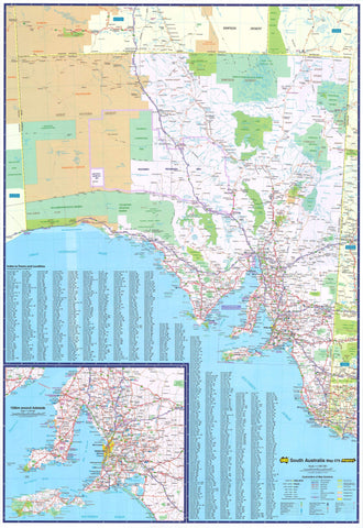
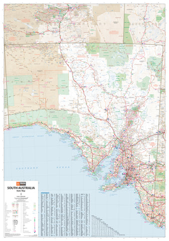
Murray River & Mallee Map Carto Graphics
$14.95
Afterpay is only available for orders between $50.00 and $1000.00 More info
Explore South Australia's Riverland & Border Parks
Scale: 1:350,000 & 1:150,000 | Size: 1000 × 690 mm
🗺️ Available folded or as a flat laminated map
Discover the beauty, heritage, and outdoor adventures of the Murray River with this highly detailed map from Carto Graphics. Ideal for travellers, campers, river cruisers, and regional explorers, this double-sided map offers both broad regional coverage and fine-scale river strip maps for planning and navigation.
From the vibrant Riverland and Murraylands to the tranquil Chowilla Game Reserve and remote Border Parks, this is your essential guide to South Australia's iconic river corridor.
🗺️ What’s on the Map
| Map Side | Features |
|---|---|
| Front | Regional Overview Map at 1:350,000 covering the broader Murray River & Mallee region including key towns, roads, national parks, and natural features |
| Reverse | Detailed River Strip Maps at 1:150,000 zooming in on the Murray River itself, ideal for following its meanders, locks, and access points |
📍 Regional Highlights
-
🚣 Murray River Navigation – follow river bends, locks, ferries, and boat ramps
-
🏞️ Murraylands & Riverland – Renmark, Berri, Loxton, Murray Bridge, Swan Reach
-
🌿 Chowilla Game Reserve – wetlands, birdwatching, and backwater access
-
🐨 Border Parks – including Danggali Conservation Park & Murray-Sunset National Park (Vic)
-
🏕️ Camping Areas & Parks – national parks, conservation zones, and caravan parks marked
🧭 Key Map Features
| ✅ Feature | 📍 Description |
|---|---|
| 🗺️ Dual-Scale Mapping | Regional map + focused river strip maps for detailed planning |
| 🛶 River Access Points | Boat ramps, ferries, lookouts, weirs, and locks clearly marked |
| 🏕️ Camping & Picnic Areas | Great for river camping, bush stays, and touring holidays |
| 🌳 National & Conservation Parks | Including Chowilla, Katarapko, Ngarkat, and Mallee Cliffs |
| 🚗 Road Detail | Tracks, minor roads, highways, 4WD access routes |
| 🧭 Town Index | Includes all major and minor settlements across the region |
📐 Map Specifications
| Specification | Detail |
|---|---|
| Publisher | Carto Graphics |
| Title | Murray River & Mallee Map |
| Scales | 1:350,000 (regional) / 1:150,000 (strip maps) |
| Map Size | 1000 mm (W) × 690 mm (H) |
| Printed in | Australia |
| Format Options | Folded paper OR laminated flat |
🧴 Optional Laminated Version
Upgrade to a flat laminated map for extra durability:
-
✍️ Whiteboard marker-compatible – great for planning routes or trips
-
💦 Water-resistant and tear-resistant – ideal for houseboats, vehicles, or campsite use
-
📌 Wall-ready – perfect for planning or display in schools, offices, or visitor centres
Note: The laminated version is produced by flattening the original folded map. Slight fold lines may remain visible.
🧳 Perfect For:
-
🚤 Riverboat and houseboat travellers along the Murray
-
🛻 Road trippers through the Mallee and Riverland regions
-
🏕️ Campers, hikers, and birdwatchers in national parks
-
🌾 Agricultural and regional business planning
-
🎒 Educators and tour planners seeking geographic context
🛒 Add to Cart – Discover the Mighty Murray & Mallee Region
Whether you're paddling downstream, exploring off-grid conservation parks, or camping under the stars, the Murray River & Mallee Map is your gateway to South Australia's most iconic river system.
✅ Select folded or laminated format at checkout
Looking for more river or regional maps? Pair it with:
-
South Australia State Handy Map
-
Nullarbor Plain (Perth to Adelaide) Touring Map
Frequently Asked Questions
Where can I buy the Murray River & Mallee Map Carto Graphics?
The Murray River & Mallee Map Carto Graphics is available to buy online from Mapworld, Australia's largest map and geographic product retailer, with fast shipping Australia-wide.
Is the Murray River & Mallee Map Carto Graphics in stock at Mapworld?
Mapworld maintains extensive stock across its map range and aims for fast dispatch. Orders placed before 2pm AEST on business days are typically dispatched the same day, with standard and express Australia-wide delivery options available.
What is Mapworld's returns policy?
Mapworld accepts returns on undamaged items in original condition. Contact Mapworld within 90 days of purchase to arrange a return or exchange.
Does Mapworld ship the Murray River & Mallee Map Carto Graphics across Australia?
Yes, Mapworld ships Australia-wide. Standard shipping is a flat $7 rate, with free standard shipping on orders over $75. Express options are available at checkout. Most orders placed before 2pm AEST on weekdays are dispatched same day.
Related Items


© 2026 Mapworld. Website designed by Genie Media
X