- Australia ▾
- Topographic
▾
- Australia AUSTopo 250k (2025)
- Australia 50k Geoscience maps
- Australia 100k Geoscience maps
- Australia 250k Geoscience maps
- Australia 1:1m Geoscience maps
- New Zealand 50k maps
- New Zealand 250k maps
- New South Wales 25k maps
- New South Wales 50k maps
- New South Wales 100k maps
- Queensland 10k maps
- Queensland 25k maps
- Queensland 50k maps
- Queensland 100k maps
- Western Australia 25k maps
- Western Australia 50k maps
- Western Australia 100k maps
- Compasses
- Software
- GPS Systems
- International ▾
- Wall Maps
▾
- World
- Australia & New Zealand
- Countries, Continents & Regions
- Historical
- Vintage National Geographic
- Australian Capital Territory
- New South Wales
- Northern Territory
- Queensland
- South Australia
- Tasmania
- Victoria
- Western Australia
- Celestial
- Children's
- Mining & Resources
- Wine Maps
- Healthcare
- Postcode Maps
- Electoral Maps
- Nautical ▾
- Flags
▾
- Australian Flag Sets & Banners
- Flag Bunting
- Handwavers
- Australian National Flags
- Aboriginal Flags
- Torres Strait Islander Flags
- International Flags
- Flagpoles & Accessories
- Australian Capital Territory Flags
- New South Wales Flags
- Northern Territory Flags
- Queensland Flags
- South Australia Flags
- Tasmania Flags
- Victoria Flags
- Western Australia Flags
- Gifts ▾
- Globes ▾
Dear valued customer. Please note that our checkout is not supported by old browsers. Please use a recent browser to access all checkout capabilities


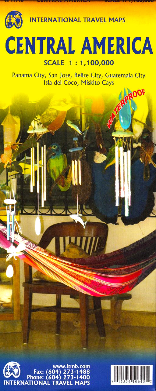
Central America ITMB Map
$24.95
Afterpay is only available for orders between $50.00 and $1000.00 More info
Double-Sided Regional Travel Map | Scale 1:1,100,000
Size: 690 mm x 1000 mm
Explore the Heart of the Americas
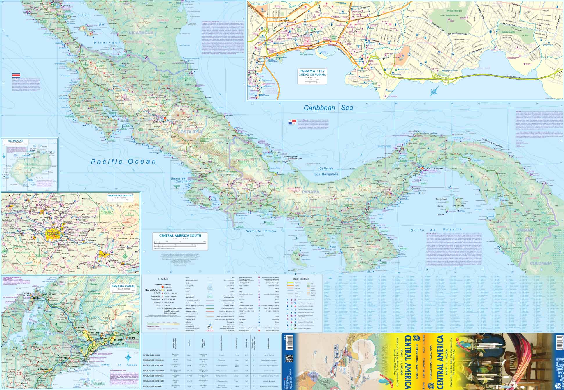
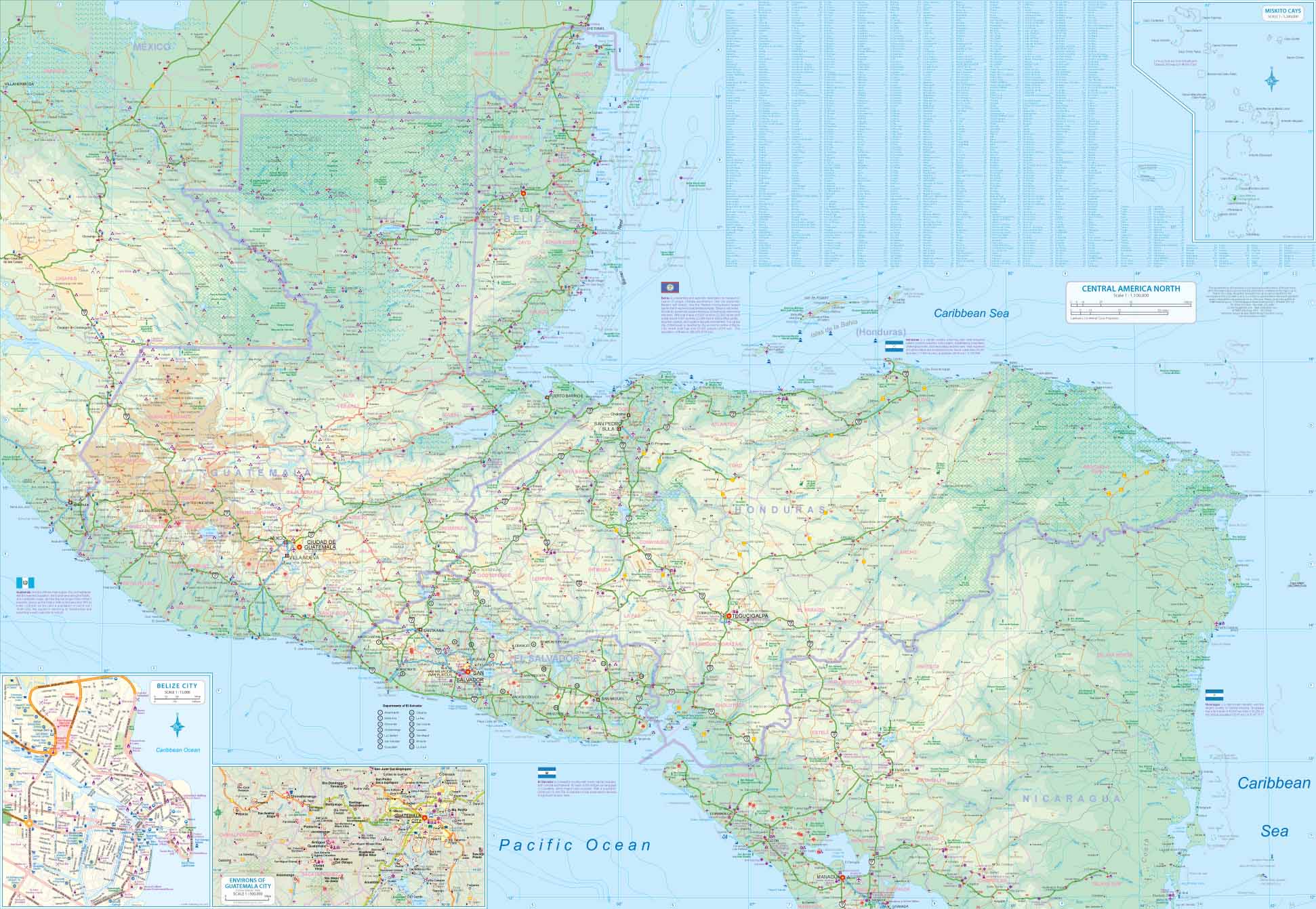
The Central America Map by ITMB offers a highly detailed overview of the region stretching from southern Mexico to the northern edge of South America. This updated 7th edition includes new cartographic data, enhanced geographic detail, and a refreshed cover design—making it a reliable and essential planning tool for travellers, educators, and explorers alike.
Whether you're trekking volcanoes in Guatemala, exploring the rainforests of Costa Rica, or navigating border crossings from Panama to Colombia, this map is your comprehensive guide to the cultural and natural diversity of Central America.
🧭 Key Features
| 🧳 Feature | ✅ Included |
|---|---|
| Latest 7th Edition | ✔️ |
| Double-sided format | ✔️ |
| Newly updated cartographic data | ✔️ |
| Political and road networks | ✔️ |
| National parks and protected areas | ✔️ |
| Topographical details | ✔️ |
| International boundaries | ✔️ |
🌎 Coverage Includes:
-
Mexico (Southern)
-
Guatemala
-
Belize
-
El Salvador
-
Honduras
-
Nicaragua
-
Costa Rica
-
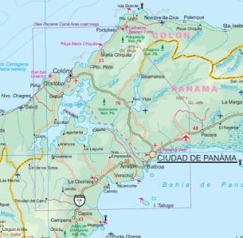
Panama
Plus important regional details including:
-
Major cities and capitals
-
Ferry routes and main highways
-
Volcanoes, rivers, lakes, and coastal features
-
Border crossings and transport hubs
-
Tourist sites and natural landmarks
📐 Specifications
| Attribute | Detail |
|---|---|
| Publisher | ITMB (International Travel Maps) |
| Map Type | Folded, double-sided paper |
| Scale | 1:1,100,000 |
| Size (Flat) | 690 mm (w) x 1000 mm (h) |
| Edition | 7th Edition |
| Printing | Full colour |
✨ Optional Lamination
We offer this map laminated on request, which allows you to:
-
Draw routes with whiteboard markers
-
Apply map dots to highlight places
-
Protect the map from moisture, tearing, and stains
(Please note: laminated maps are flattened from a folded version—minor fold lines may still be visible.)
✅ Why Choose This Map?
| 🌟 Benefit | 🧭 Ideal For |
|---|---|
| Covers all of Central America in one sheet | Regional travel planning |
| Durable & lightweight | Backpackers and overland explorers |
| Great for wall use or itinerary tracking | Teachers and tour operators |
| Clearly shows roads, cities & borders | Geography enthusiasts & researchers |
Whether you're backpacking from Belize to Panama or studying the political geography of the Americas, this double-sided ITMB map is a practical, detailed, and dependable companion.
📌 A must-have for overland travellers, educators, and map collectors.
Frequently Asked Questions
Where can I buy the Central America ITMB Map?
The Central America ITMB Map is available to buy online from Mapworld, Australia's largest map and geographic product retailer, with fast shipping Australia-wide.
Is the Central America ITMB Map in stock at Mapworld?
Mapworld maintains extensive stock across its map range and aims for fast dispatch. Orders placed before 2pm AEST on business days are typically dispatched the same day, with standard and express Australia-wide delivery options available.
What is Mapworld's returns policy?
Mapworld accepts returns on undamaged items in original condition. Contact Mapworld within 90 days of purchase to arrange a return or exchange.
Does Mapworld ship the Central America ITMB Map across Australia?
Yes, Mapworld ships Australia-wide. Standard shipping is a flat $7 rate, with free standard shipping on orders over $75. Express options are available at checkout. Most orders placed before 2pm AEST on weekdays are dispatched same day.
Related Items


© 2026 Mapworld. Website designed by Genie Media
X