- Australia ▾
- Topographic
▾
- Australia AUSTopo 250k (2025)
- Australia 50k Geoscience maps
- Australia 100k Geoscience maps
- Australia 250k Geoscience maps
- Australia 1:1m Geoscience maps
- New Zealand 50k maps
- New Zealand 250k maps
- New South Wales 25k maps
- New South Wales 50k maps
- New South Wales 100k maps
- Queensland 10k maps
- Queensland 25k maps
- Queensland 50k maps
- Queensland 100k maps
- Compasses
- Software
- GPS Systems
- Orienteering
- International ▾
- Wall Maps
▾
- World
- Australia & New Zealand
- Countries, Continents & Regions
- Historical
- Vintage National Geographic
- Australian Capital Territory
- New South Wales
- Northern Territory
- Queensland
- South Australia
- Tasmania
- Victoria
- Western Australia
- Celestial
- Children's
- Mining & Resources
- Wine Maps
- Healthcare
- Postcode Maps
- Electoral Maps
- Nautical ▾
- Flags
▾
- Australian Flag Sets & Banners
- Flag Bunting
- Handwavers
- Australian National Flags
- Aboriginal Flags
- Torres Strait Islander Flags
- International Flags
- Flagpoles & Accessories
- Australian Capital Territory Flags
- New South Wales Flags
- Northern Territory Flags
- Queensland Flags
- South Australia Flags
- Tasmania Flags
- Victoria Flags
- Western Australia Flags
- Gifts ▾
- Globes ▾
Dear valued customer. Please note that our checkout is not supported by old browsers. Please use a recent browser to access all checkout capabilities


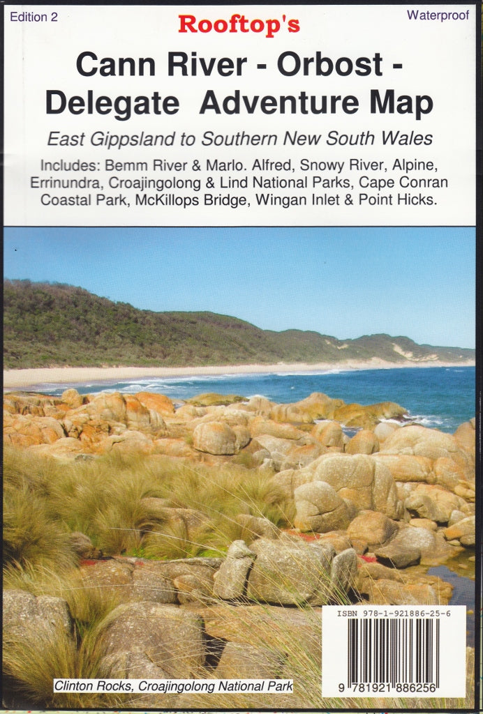
Cann River - Oborst Adventure Map Rooftop
$14.95 $15.95
Afterpay is only available for orders between $50.00 and $1000.00 More info
Explore Far East Gippsland’s Wildest Landscapes – Alpine Trails, Rainforests & Coastal Parks
Waterproof & Tear-Resistant | GPS-Plotted Tracks | Detailed Inset Maps & Campgrounds
Map Size: 700 mm x 1000 mm
From the tranquil inlets of Cape Conran to the dramatic alpine routes around McKillops Bridge, the Cann River – Oborst Adventure Map by Rooftop Maps is your gateway to the raw and rugged beauty of Far East Gippsland. This high-detail, GPS-verified map covers a vast sweep of remote Victoria, ideal for 4WD explorers, hikers, kayakers, and nature-lovers alike.
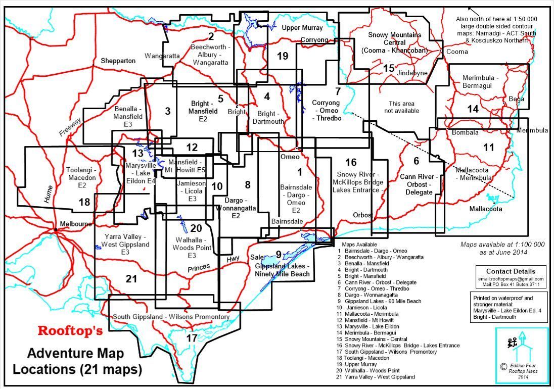
🗺️ Main Coverage Areas
-
🌲 Alpine National Park
-
🌿 Errinundra National Park
-
🏕️ Croajingolong National Park
-
🏖️ Cape Conran Coastal Park
-
🌊 Bemm River, Marlo & Sydenham Inlet
-
🏞️ McKillops Bridge, Wingan Inlet & Point Hicks
-
🌳 Lind National Park & State Forests
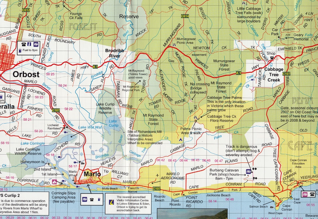
Inset Maps on Reverse Side Include:
✔️ Sydenham Inlet Access
✔️ Tamboon Inlet Access
✔️ Cape Conran Coastal Park & Camping Area
✔️ Huts & Waterfalls – Far East Gippsland
✔️ Attractions Around Bendoc
✔️ Neville Falls – Princes Highway Map
✔️ Suggan Buggan to Willis Map
✔️ Coastal Access: Cape Conran to Wingan Inlet
Each inset is meticulously drawn and packed with local insights, including track access, campsites, waterfalls, lookouts, and hidden bush huts.
✅ Key Features & Benefits
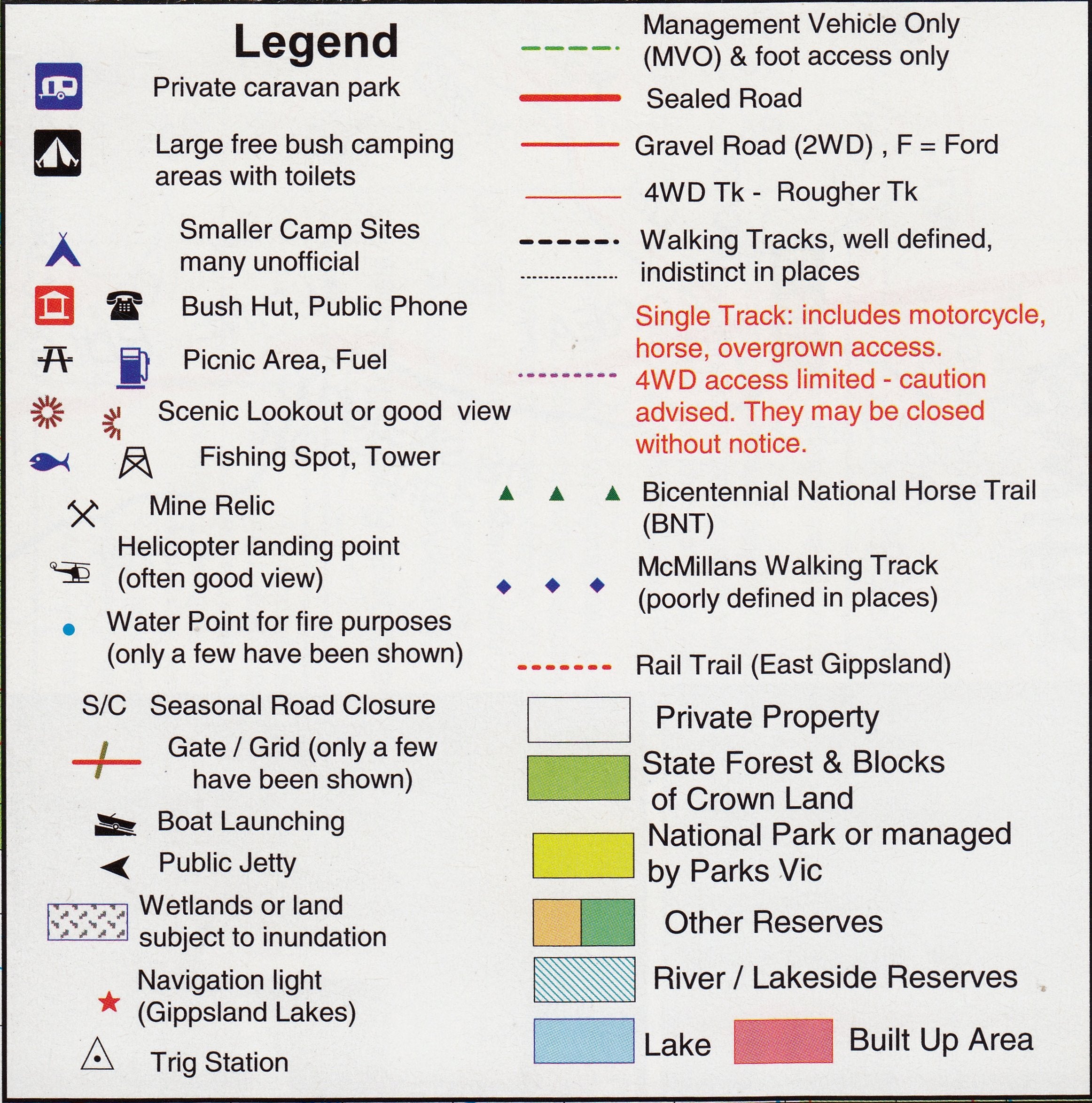
🧭 Accurate GPS-Mapped Roads & Tracks
Every track, trail and road within the map area is plotted using real-time GPS mapping technology for the most reliable navigation possible—on and off-road.
💧 Waterproof & Tear-Resistant Paper
Ideal for all-weather adventures. Whether it’s rain in the rainforest or dust on the dash, this durable map stands up to the elements.
⛺ Campsites & Tourist Attractions Mapped
Find your perfect overnight stop or day hike with clearly marked parks, reserves, campgrounds, and natural landmarks.
🛠️ Optional Lamination Available
Upgrade to a laminated version, which lets you:
-
Draw routes and notes with whiteboard marker
-
Apply map dots to mark visited or planned destinations
-
Wipe clean after each adventure
Note: Laminated versions are flattened and encapsulated in high-quality 80-micron gloss laminate. Slight fold lines from the original may still be visible.
📐 Specifications
| Feature | Detail |
|---|---|
| Publisher | Rooftop Maps |
| Edition | Latest available |
| Size | 700 mm x 1000 mm (folded or flat) |
| Material | Waterproof & tear-resistant paper |
| Lamination Option | Yes – 80-micron gloss encapsulation |
| Printing | Full-colour, GPS-accurate mapping |
Ideal For:
✔️ 4WD explorers heading into remote bushland
✔️ Hikers and bushwalkers looking for topographic accuracy
✔️ Fishers and kayakers exploring inlets and river mouths
✔️ National Park campers and off-grid adventurers
✔️ Anyone planning a road trip through Far East Gippsland
🛒 Add to Cart Now – and experience one of Victoria’s most diverse and remote regions with confidence. The Cann River – Oborst Adventure Map by Rooftop is not just a map—it’s your blueprint to the ultimate East Gippsland escape.
Frequently Asked Questions
Where can I buy the Cann River - Oborst Adventure Map Rooftop?
The Cann River - Oborst Adventure Map Rooftop is available to buy online from Mapworld, Australia's largest map and geographic product retailer, with fast shipping Australia-wide.
Is the Cann River - Oborst Adventure Map Rooftop in stock at Mapworld?
Mapworld maintains extensive stock across its map range and aims for fast dispatch. Orders placed before 2pm AEST on business days are typically dispatched the same day, with standard and express Australia-wide delivery options available.
What is Mapworld's returns policy?
Mapworld accepts returns on undamaged items in original condition. Contact Mapworld within 90 days of purchase to arrange a return or exchange.
Does Mapworld ship the Cann River - Oborst Adventure Map Rooftop across Australia?
Yes, Mapworld ships Australia-wide. Standard shipping is a flat $7 rate, with free standard shipping on orders over $75. Express options are available at checkout. Most orders placed before 2pm AEST on weekdays are dispatched same day.
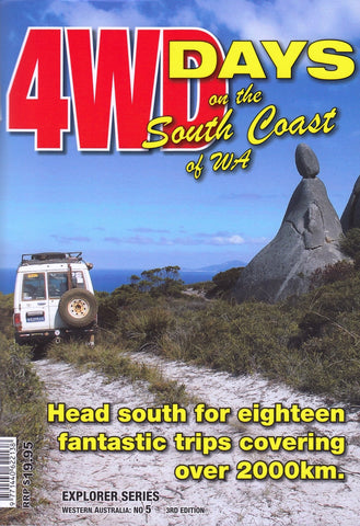
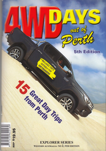
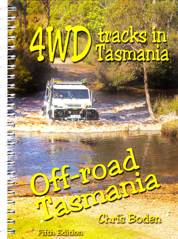
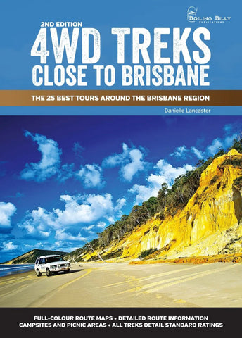
Related Items
© 2026 Mapworld. Website designed by Genie Media
X