- Australia ▾
- Topographic
▾
- Australia AUSTopo 250k (2024)
- Australia 50k Geoscience maps
- Australia 100k Geoscience maps
- Australia 250k Geoscience maps
- Australia 1.1m Geoscience maps
- New Zealand 50k maps
- New Zealand 250k maps
- New South Wales 25k maps
- New South Wales 50k maps
- New South Wales 100k maps
- Queensland 10k maps
- Queensland 25k maps
- Queensland 50k maps
- Queensland 100k maps
- Compasses
- Software
- GPS Systems
- Orienteering
- International ▾
- Wall Maps
▾
- World
- Australia & New Zealand
- Countries, Continents & Regions
- Historical
- Vintage National Geographic
- Australian Capital Territory
- New South Wales
- Northern Territory
- Queensland
- South Australia
- Tasmania
- Victoria
- Western Australia
- Celestial
- Children's
- Mining & Resources
- Wine Maps
- Healthcare
- Postcode Maps
- Electoral Maps
- Nautical ▾
- Flags
▾
- Australian Flag Sets & Banners
- Flag Bunting
- Handwavers
- Australian National Flags
- Aboriginal Flags
- Torres Strait Islander Flags
- International Flags
- Flagpoles & Accessories
- Australian Capital Territory Flags
- New South Wales Flags
- Northern Territory Flags
- Queensland Flags
- South Australia Flags
- Tasmania Flags
- Victoria Flags
- Western Australia Flags
- Gifts ▾
- Globes ▾
Dear valued customer. Please note that our checkout is not supported by old browsers. Please use a recent browser to access all checkout capabilities


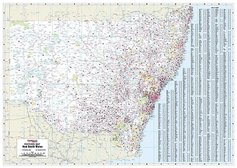
Western Australia Postcode Laminated Wall Map 788 x 1120mm
$109.95
or make 4 interest-free payments of
$27.49 AUD
fortnightly with
![]() More info
More info
The Definitive Statewide Postcode Reference Map for Business and Planning
This Western Australia Postcode Map by Cartodraft is the most detailed and accurate wall map available showing postcode boundaries and numbers across the entire state.
Whether you're managing a sales territory, planning logistics, or simply need a clear reference for regional postcodes, this statewide postcode map is an essential tool for businesses, educators, and government departments.
📌 Key Features
-
Full State Coverage – The only map that shows postcode boundaries and numbers for all of Western Australia at a single glance
-
Clear, Precise Layout – Easily distinguish postcode zones with clearly marked boundary lines and numbers
-
Comprehensive Index – Includes an easy-to-use alphabetical list of towns and their corresponding postcodes, perfect for quick look-ups
🖊️ Durable Lamination – Write, Wipe, Reuse
Printed on high-quality stock and encapsulated in gloss laminate, this map is:
-
✅ Writeable and wipeable using whiteboard markers
-
✅ Compatible with Mark-It-Dots to highlight territories, clients, or regions of interest
-
✅ Protected against wear, moisture, and tearing – ideal for high-use environments like offices, classrooms, or depots
This laminated format makes it especially useful for teams who need to update, adjust, or present information frequently.
🧭 Perfect For:
-
Business and Franchise Territory Planning
-
Sales and Marketing Teams
-
Courier and Freight Operators
-
Real Estate and Property Services
-
Government and Educational Institutions
-
Call Centres and Customer Service Hubs
📐 Specifications
| Feature | Details |
|---|---|
| Map Title | Western Australia Postcode Map |
| Publisher | Cartodraft |
| Coverage | Entire state of Western Australia |
| Map Type | Laminated wall map |
| Index | Town names and postcode numbers |
| Size | 788 mm (w) x 1120 mm (h) |
| Finish | Encapsulated in 80-micron gloss laminate |
📍 A Vital Tool for Location-Based Decisions
Whether you're mapping customer locations, defining delivery routes, or segmenting service areas, this Western Australia Postcode Map provides the clarity and coverage you need to work smarter, not harder.
Plan with confidence. Visualise your reach. Enhance your operations with postcode precision.