- Australia ▾
- Topographic
▾
- Australia AUSTopo 250k (2024)
- Australia 50k Geoscience maps
- Australia 100k Geoscience maps
- Australia 250k Geoscience maps
- Australia 1.1m Geoscience maps
- New Zealand 50k maps
- New Zealand 250k maps
- New South Wales 25k maps
- New South Wales 50k maps
- New South Wales 100k maps
- Queensland 10k maps
- Queensland 25k maps
- Queensland 50k maps
- Queensland 100k maps
- Compasses
- Software
- GPS Systems
- Orienteering
- International ▾
- Wall Maps
▾
- World
- Australia & New Zealand
- Countries, Continents & Regions
- Historical
- Vintage National Geographic
- Australian Capital Territory
- New South Wales
- Northern Territory
- Queensland
- South Australia
- Tasmania
- Victoria
- Western Australia
- Celestial
- Children's
- Mining & Resources
- Wine Maps
- Healthcare
- Postcode Maps
- Electoral Maps
- Nautical ▾
- Flags
▾
- Australian Flag Sets & Banners
- Flag Bunting
- Handwavers
- Australian National Flags
- Aboriginal Flags
- Torres Strait Islander Flags
- International Flags
- Flagpoles & Accessories
- Australian Capital Territory Flags
- New South Wales Flags
- Northern Territory Flags
- Queensland Flags
- South Australia Flags
- Tasmania Flags
- Victoria Flags
- Western Australia Flags
- Gifts ▾
- Globes ▾
Dear valued customer. Please note that our checkout is not supported by old browsers. Please use a recent browser to access all checkout capabilities


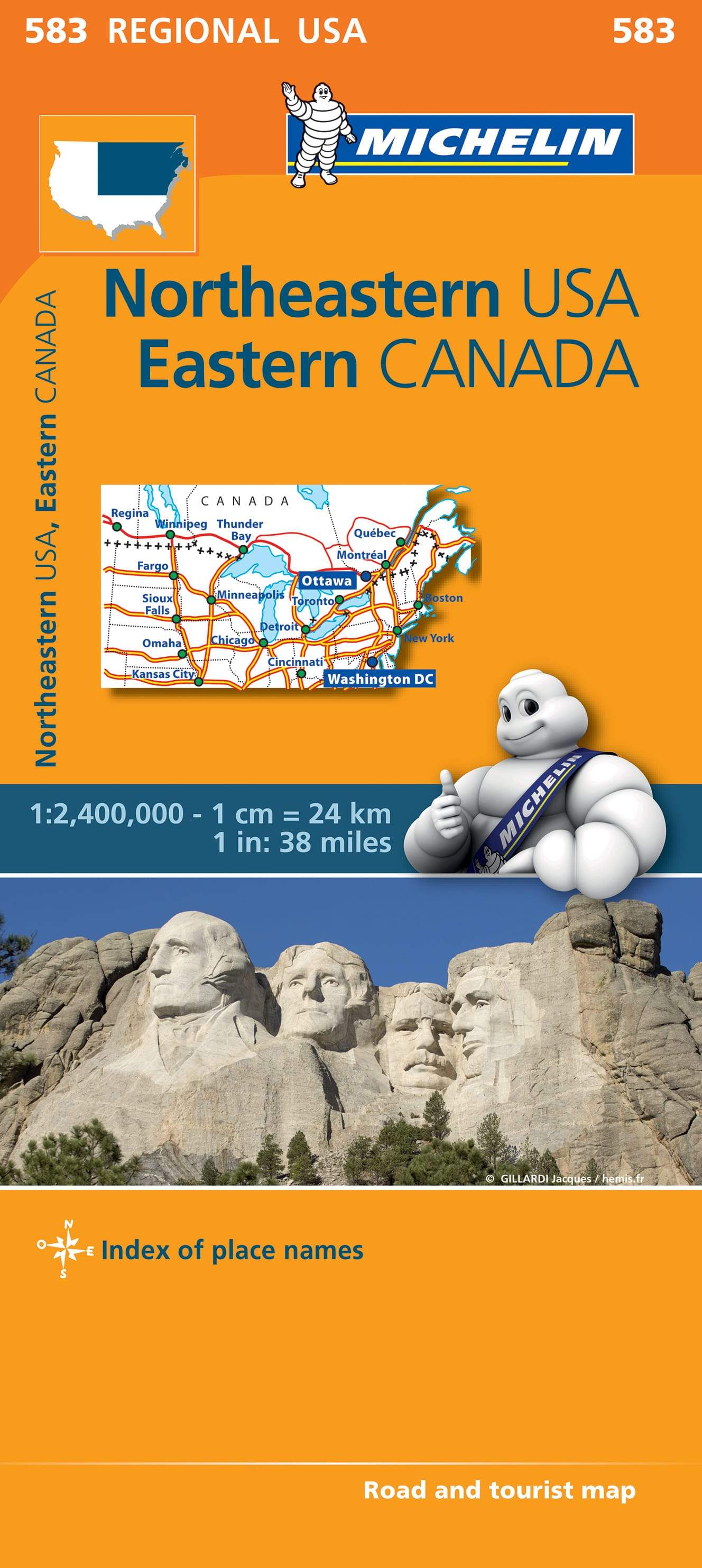
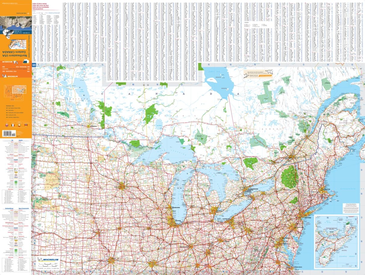
Northeastern USA Eastern Canada Michelin 583
$21.95
Afterpay is only available for orders between $50.00 and $1000.00 More info
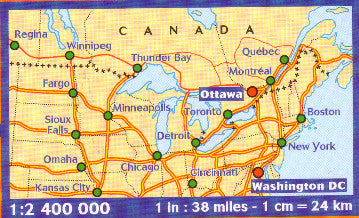
Scale: 1:2,400,000 | Folded Map | Multilingual Key
Covers New England to Eastern Canada | Ideal for Road Trips & Cross-Border Travel
🍁 Explore New England & Eastern Canada with One Convenient Map
Whether you're planning a scenic drive through Vermont and Maine, a fall foliage tour in Quebec, or a cross-border adventure from New York to Nova Scotia, the Michelin Northeastern USA & Eastern Canada Map (No. 583) is the essential planning tool for your journey.
This unique, large-scale regional map covers an expansive area from the northeastern United States into the heart of Eastern Canada, allowing you to see cross-border routes, city connections, and natural highlights — all at a glance.
Designed by Michelin, one of the world’s most trusted names in cartography, this map is perfect for self-drive travellers, overlanders, travel agents, or anyone navigating the northeastern corridor of North America.
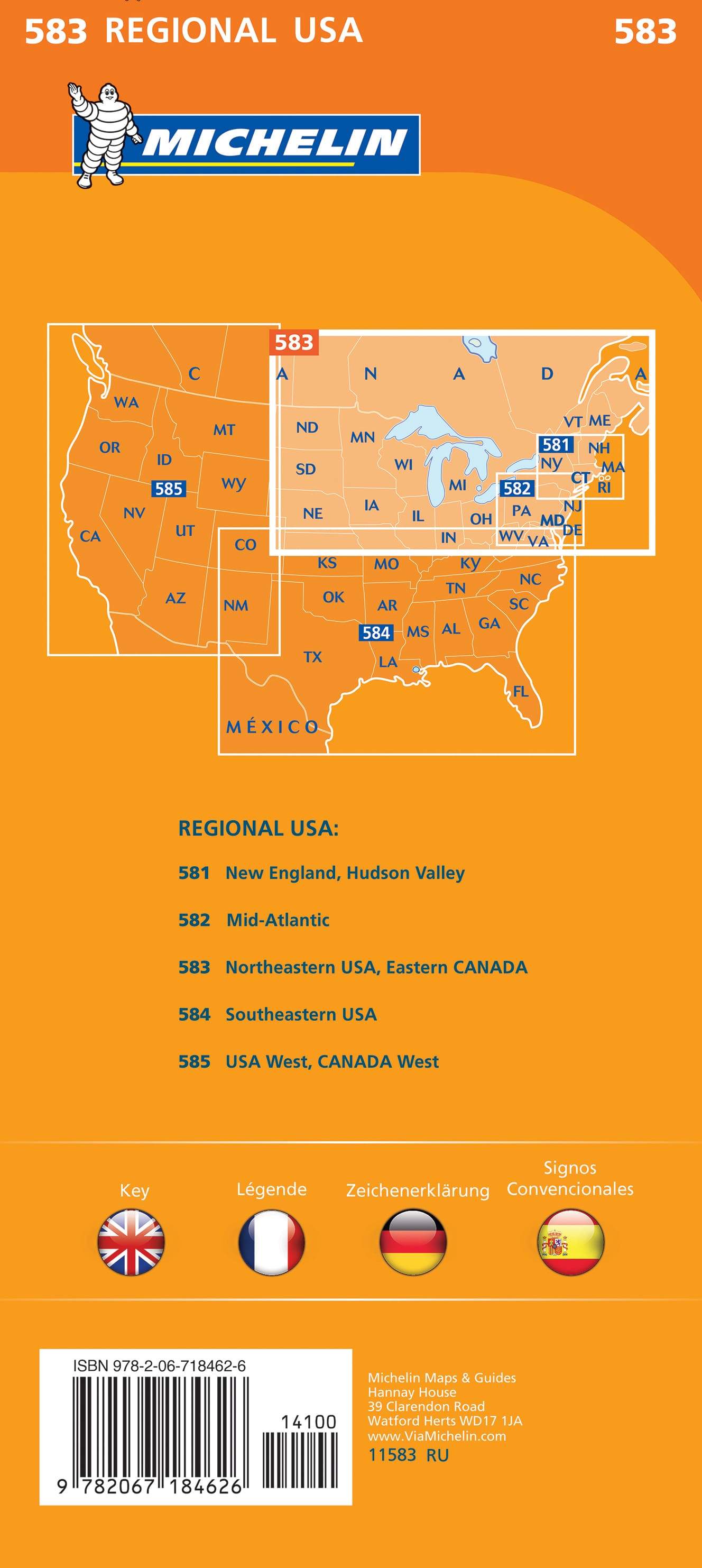
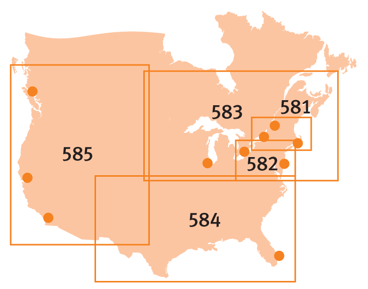
📍 Coverage Highlights
-
🗽 Northeastern USA:
Includes New York, New Jersey, Pennsylvania, Connecticut, Rhode Island, Massachusetts, Vermont, New Hampshire, and Maine -
🇨🇦 Eastern Canada:
Includes southern Quebec, southern Ontario, New Brunswick, Prince Edward Island, and Nova Scotia -
🌉 Ideal for Cross-Border Trips:
See how US and Canadian road networks connect across major entry points and regional highways
🗝️ Map Features
-
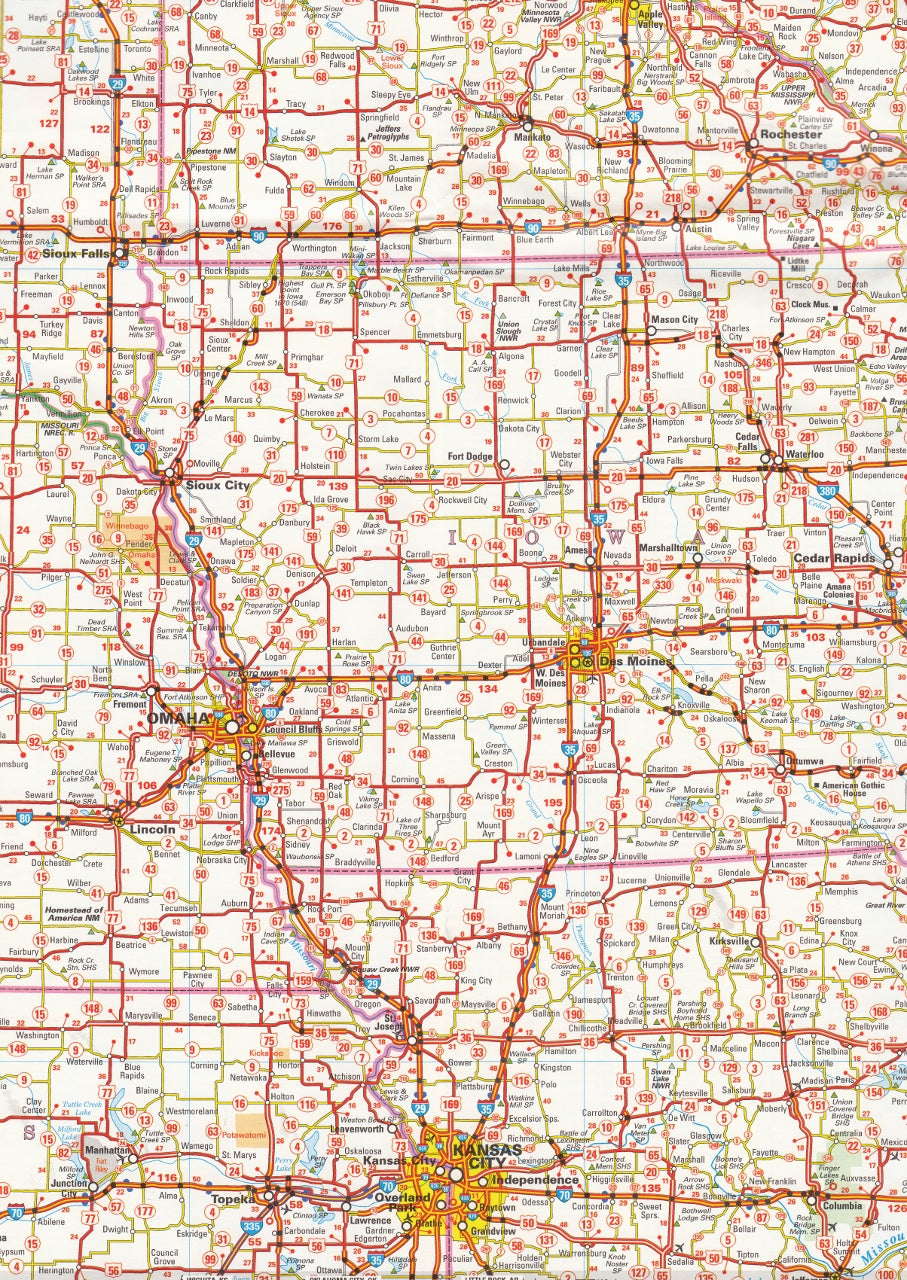
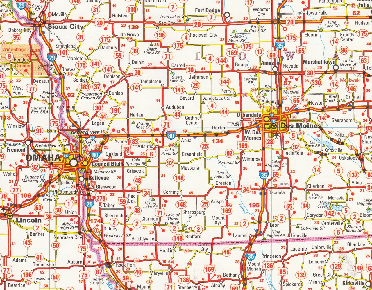
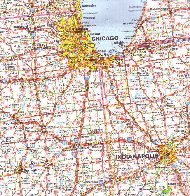
🛣️ Major & secondary roads clearly marked, including route numbers and motorway designations
-
🧭 International borders with clear transitions between US and Canadian regions
-
📍 City and town names in local spelling/language as found on road signage
-
🗺️ Tourist icons for parks, points of interest, ferry routes, and scenic drives
-
📏 Distances in kilometres and miles – ideal for travel planning and estimating drive times
-
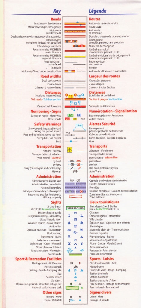
🗂️ Multilingual legend – includes English, French, and other major European languages
💡 Please note: The language on the cover of the map may vary depending on the source (e.g., English, French, or German), but all versions contain the same internal content and mapping features.
Who This Map Is For
🚗 Road Trippers & Self-Drive Travellers – Plan seamless routes across states and provinces
🗺️ Tour Planners & Travel Agents – Create multi-country itineraries with confidence
🚐 Overlanders & RV Users – Great as a reliable backup to GPS when signal drops
📚 Map Collectors & Geography Enthusiasts – A practical and beautiful addition to any collection
✈️ International Visitors – Ideal for those touring both the USA and Canada by car or camper
📏 Product Specifications
| Feature | Details |
|---|---|
| Map Title | Michelin Map 583 – Northeastern USA & Eastern Canada |
| Scale | 1:2,400,000 |
| Map Type | Folded road map with multilingual key |
| Coverage Area | Northeastern US + Eastern Canadian provinces |
| Legend Language(s) | English, French, German, and more |
| Place Names | Shown in local spelling/language |
| Publisher | Michelin Travel Publications |
| Printed In | Europe 🇪🇺 |
🛒 Add to Cart Today
Looking to explore both sides of the border? The Michelin Map 583 – Northeastern USA & Eastern Canada gives you the clarity, reliability, and detail you need to navigate from city streets to backcountry byways — all in one compact, expertly designed map.
Order yours now and start planning your next North American road adventure.


