- Australia ▾
- Topographic
▾
- Australia AUSTopo 250k (2024)
- Australia 50k Geoscience maps
- Australia 100k Geoscience maps
- Australia 250k Geoscience maps
- Australia 1.1m Geoscience maps
- New Zealand 50k maps
- New Zealand 250k maps
- New South Wales 25k maps
- New South Wales 50k maps
- New South Wales 100k maps
- Queensland 10k maps
- Queensland 25k maps
- Queensland 50k maps
- Queensland 100k maps
- Compasses
- Software
- GPS Systems
- Orienteering
- International ▾
- Wall Maps
▾
- World
- Australia & New Zealand
- Countries, Continents & Regions
- Historical
- Vintage National Geographic
- Australian Capital Territory
- New South Wales
- Northern Territory
- Queensland
- South Australia
- Tasmania
- Victoria
- Western Australia
- Celestial
- Children's
- Mining & Resources
- Wine Maps
- Healthcare
- Postcode Maps
- Electoral Maps
- Nautical ▾
- Flags
▾
- Australian Flag Sets & Banners
- Flag Bunting
- Handwavers
- Australian National Flags
- Aboriginal Flags
- Torres Strait Islander Flags
- International Flags
- Flagpoles & Accessories
- Australian Capital Territory Flags
- New South Wales Flags
- Northern Territory Flags
- Queensland Flags
- South Australia Flags
- Tasmania Flags
- Victoria Flags
- Western Australia Flags
- Gifts ▾
- Globes ▾
Dear valued customer. Please note that our checkout is not supported by old browsers. Please use a recent browser to access all checkout capabilities


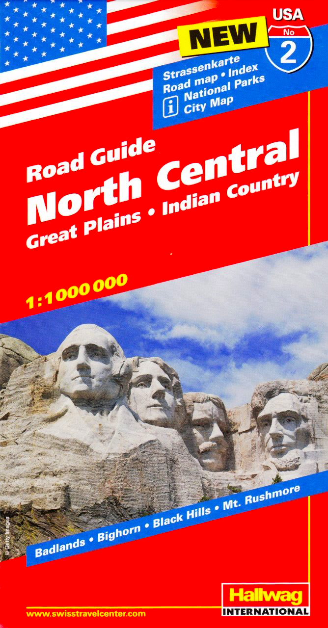
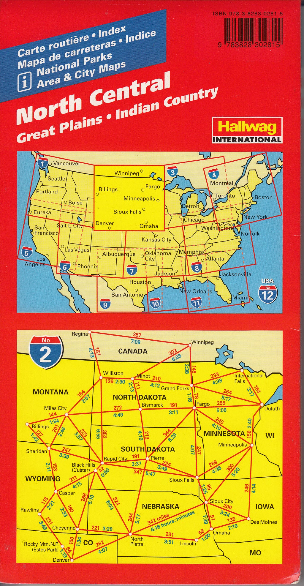

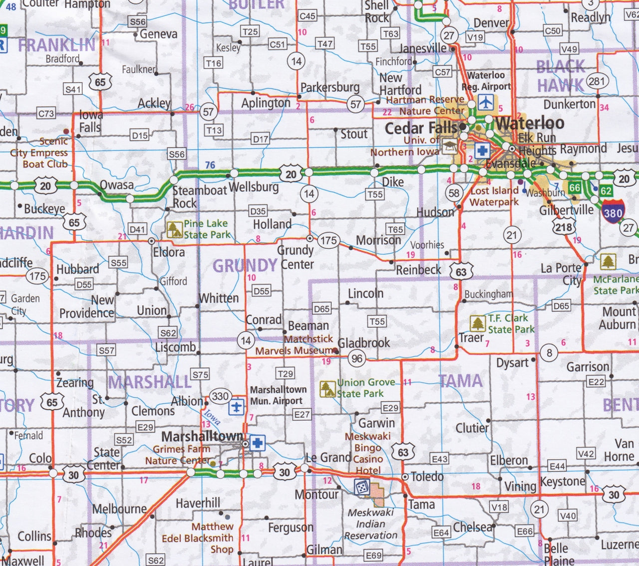
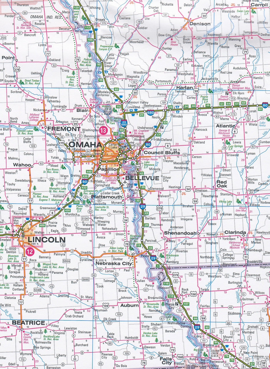
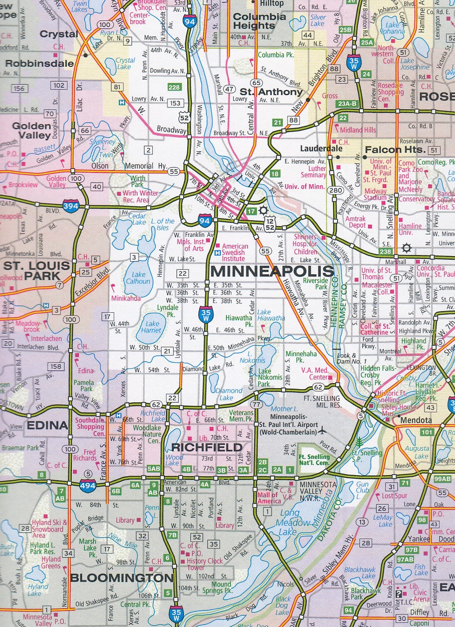
North Central Hallwag USA Map
$24.95
Afterpay is only available for orders between $50.00 and $1000.00 More info
Explore the Heartland of America — from Prairie Winds to Pioneer Roads
Scale: 1:1,000,000 | ISBN: 978-3828307537
Unfolded Size: 1380 mm × 1000 mm | Folded Size: 243 mm × 130 mm
Edition: Latest
🧭 A Classic Road Companion for the Journey Between Denver and Winnipeg
Unfold the spirit of America’s vast interior with the Hallwag North Central USA Road Map — a meticulously crafted companion for anyone eager to roam the sweeping plains, prairie towns, and big-sky country that define the soul of the continent.
Covering the Great Plains and Indian Country, this map isn’t just functional — it’s inspirational. Whether you're retracing Lewis and Clark’s path, road-tripping across Dakota grasslands, or exploring the cultural pulse of Minneapolis, Omaha, or Denver, this map invites you to slow down, look around, and really see the land beneath your wheels.
🗺️ Map Coverage & Features
| 🌎 Region | Central USA: from Winnipeg to Denver, including North & South Dakota, Nebraska, Iowa, Minnesota, and parts of Colorado and Manitoba |
|---|---|
| 🏙️ City Insets | Minneapolis–St Paul, Denver, Omaha, Grand Island, Rapid City, Sioux Falls, Lincoln, Winnipeg, Bismarck, Grand Forks, Des Moines |
| 🧭 Scale | 1:1,000,000 – ideal for driving and regional travel |
| 📏 Mileage & Time Chart | Calculate travel times and distances at a glance between major cities |
| 🔍 Place Name Index | Quickly locate towns, highways, parks, natural landmarks, and more |
| 🚗 Transport Network | Includes major highways, interstates, state roads, Amtrak lines, airports, and rest stops |
| 🏞️ Topography | Relief shading to highlight mountains, rivers, lakes, and elevation changes |
| ⛺ Tourist Sites | Features National Parks, historic trails, Native American lands, and cultural highlights |
💡 Why Choose This Map?
-
A Joy to Use: Printed on high-quality paper, the map folds neatly into a durable protective cover for long-term use on the road.
-
Travel-Ready Design: The clean cartography and clear symbology mean less time squinting, more time exploring.
-
Heritage & Heartland: This is the land of wild bison, pioneer history, and timeless prairies. Hallwag captures it all in careful detail.
-
Iconic Road Trips Await: From Badlands to Black Hills, the Missouri River to the Mississippi, this map makes it easy to trace your dream route through the American interior.
🧳 Who This Map Is For
-
🚐 Road-trippers heading north or south through the USA’s quietest highways and loudest landscapes
-
🗺️ Cartophiles & collectors seeking premium European-quality printed maps
-
🎒 Educators and students exploring the physical and human geography of the Great Plains
-
🛻 RV and campervan travellers navigating small towns and rural backroads
-
🎞️ Photographers & travel writers seeking inspiration between cornfields and canyonlands
📘 Product Summary
| Specification | Details |
|---|---|
| Publisher | Hallwag Kümmerly+Frey |
| ISBN | 978-3828307537 |
| Scale | 1:1,000,000 |
| Unfolded Size | 1380 mm × 1000 mm |
| Folded Size | 243 mm × 130 mm × 8 mm |
| Weight | Approx. 180–200 g |
| Legend Languages | Multilingual: English, German, French, Italian |
🌾 A Map for the Wide Open Road
There’s a certain magic in the endless skies above Nebraska, in the rustle of prairie grass in South Dakota, in the silent pull of historic roads winding through Iowa farmlands and Minnesota lakes. The North Central USA Road Map by Hallwag captures that magic — turning every turn of the page into a possibility.