- Australia ▾
- Topographic
▾
- Australia AUSTopo 250k (2025)
- Australia 50k Geoscience maps
- Australia 100k Geoscience maps
- Australia 250k Geoscience maps
- Australia 1:1m Geoscience maps
- New Zealand 50k maps
- New Zealand 250k maps
- New South Wales 25k maps
- New South Wales 50k maps
- New South Wales 100k maps
- Queensland 10k maps
- Queensland 25k maps
- Queensland 50k maps
- Queensland 100k maps
- Western Australia 25k maps
- Western Australia 50k maps
- Western Australia 100k maps
- Compasses
- Software
- GPS Systems
- International ▾
- Wall Maps
▾
- World
- Australia & New Zealand
- Countries, Continents & Regions
- Historical
- Vintage National Geographic
- Australian Capital Territory
- New South Wales
- Northern Territory
- Queensland
- South Australia
- Tasmania
- Victoria
- Western Australia
- Celestial
- Children's
- Mining & Resources
- Wine Maps
- Healthcare
- Postcode Maps
- Electoral Maps
- Nautical ▾
- Flags
▾
- Australian Flag Sets & Banners
- Flag Bunting
- Handwavers
- Australian National Flags
- Aboriginal Flags
- Torres Strait Islander Flags
- International Flags
- Flagpoles & Accessories
- Australian Capital Territory Flags
- New South Wales Flags
- Northern Territory Flags
- Queensland Flags
- South Australia Flags
- Tasmania Flags
- Victoria Flags
- Western Australia Flags
- Gifts ▾
- Globes ▾
Dear valued customer. Please note that our checkout is not supported by old browsers. Please use a recent browser to access all checkout capabilities


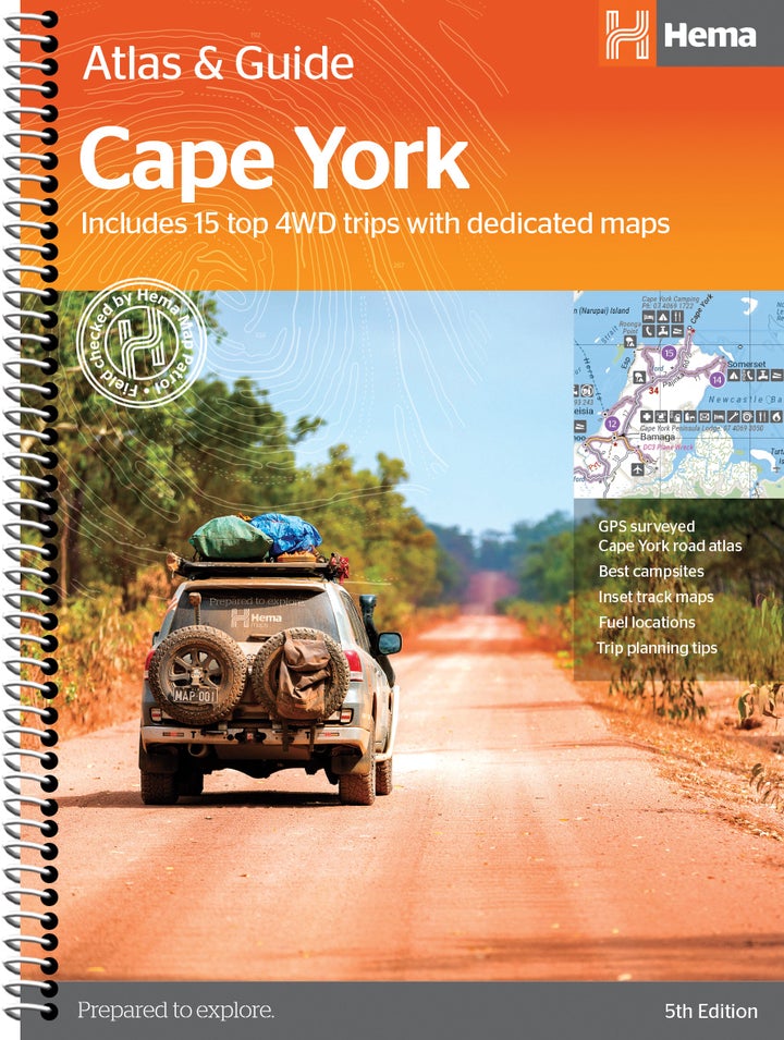
Cape York Atlas & Guide Hema
$49.95
Afterpay is only available for orders between $50.00 and $1000.00 More info
The definitive 4WD and touring companion for exploring one of Australia’s most remote and unforgettable regions
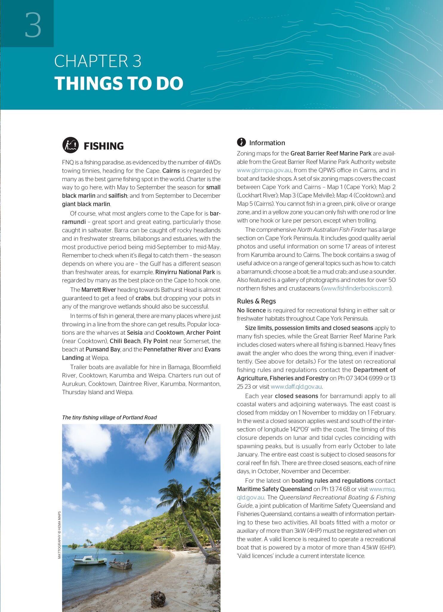
If you're dreaming of reaching the northernmost tip of the Australian mainland, there is no better tool to guide you than the Hema Cape York Atlas & Guide (5th Edition). Covering everything from the legendary Old Telegraph Track to hidden bush camps, Indigenous lands, national parks, and scenic coastal communities, this comprehensive spiral-bound guide is the ultimate resource for planning, navigating, and enjoying an overland journey through Cape York.
Compiled by Australia’s most trusted adventure mapping team and enriched with insights from veteran outback explorers Ron and Viv Moon, this atlas is equal parts detailed map set, trip planner, and travel guide. It’s the result of first-hand fieldwork by the Hema Map Patrol, ensuring that every road, track, and point of interest is accurate, reliable, and up to date.
📚 What’s Inside:
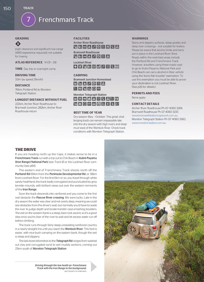
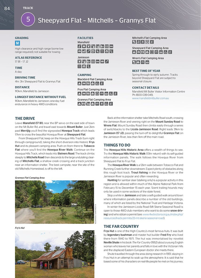
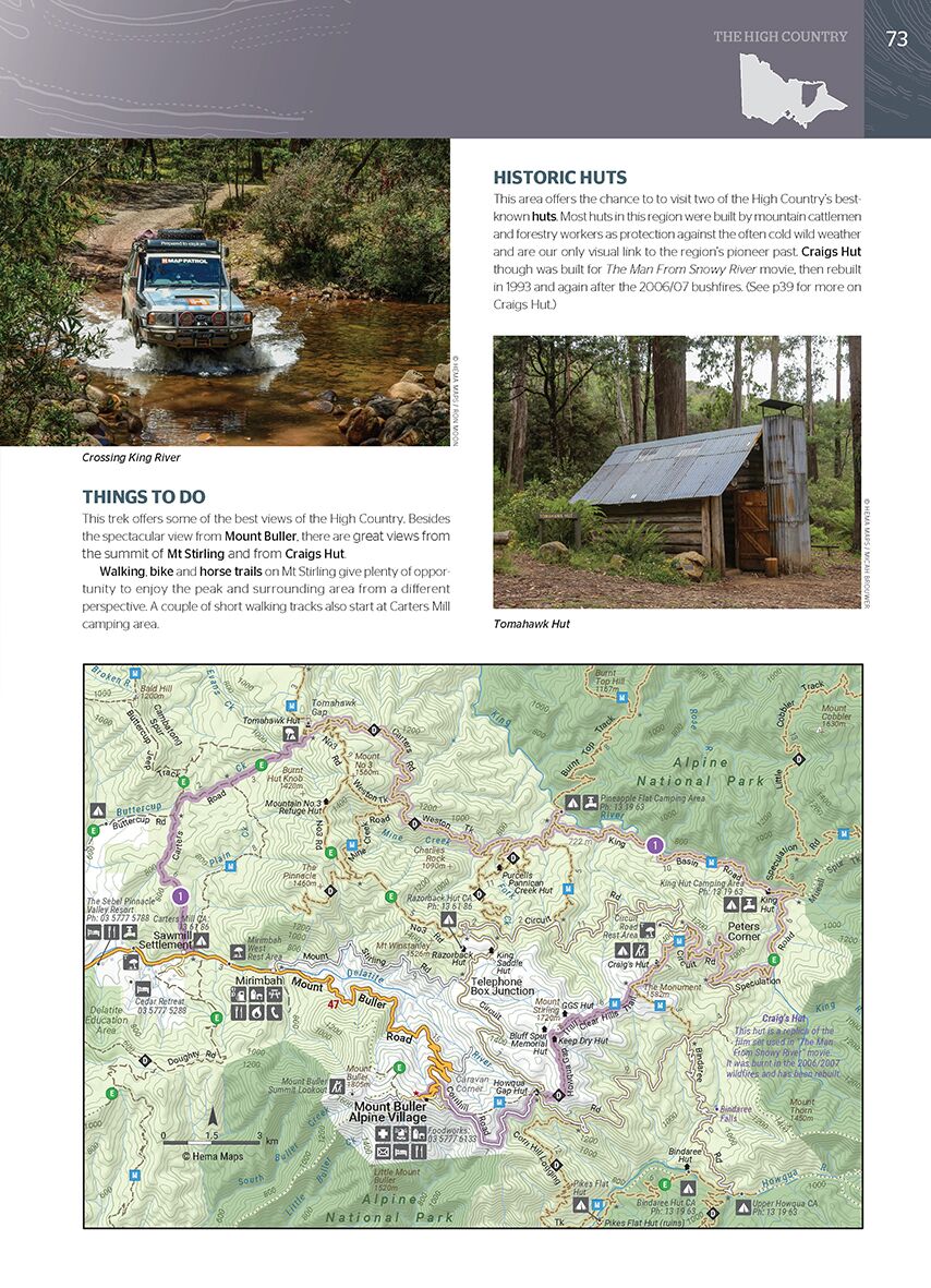
🛣️ 15 Iconic 4WD Adventures
Each featured track comes with:
-
Detailed route maps and elevation profiles
-
Difficulty ratings and recommended vehicle types
-
Trip lengths, fuel range estimates, and important safety notes
-
Permit requirements and cultural access information
-
Information on nearby campgrounds, roadhouses, and recovery options
Some highlights include:
-
Old Telegraph Track – Australia’s most iconic 4WD route
-
Frenchmans Track, Bamaga Road, and CREB Track
-
Savannah Way through the southern edge
-
Offshoots to remote beaches, waterfalls, and Aboriginal homelands
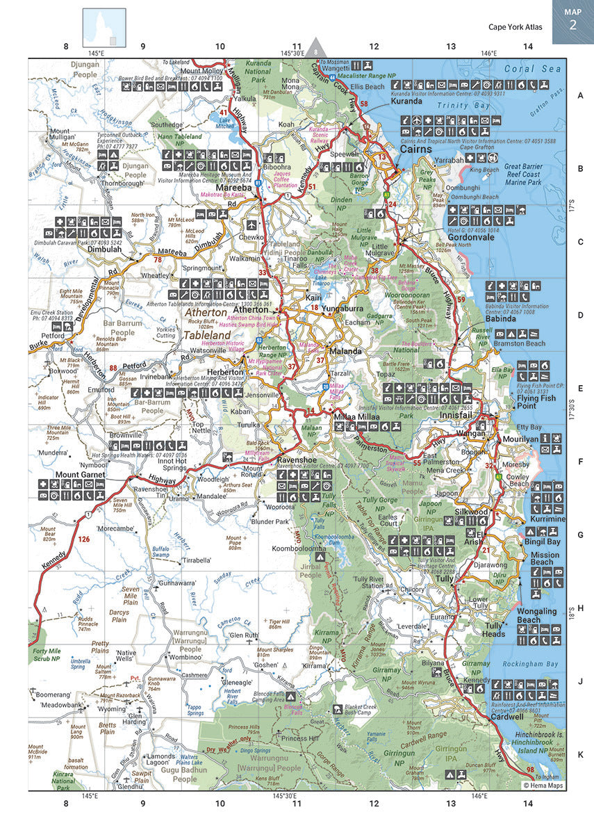
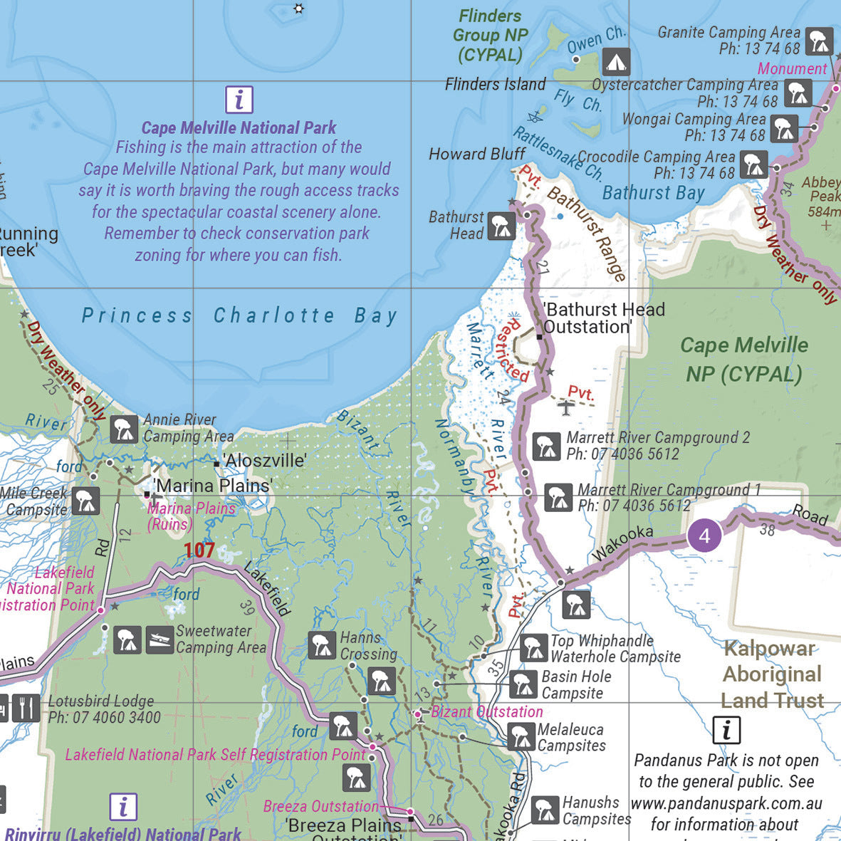
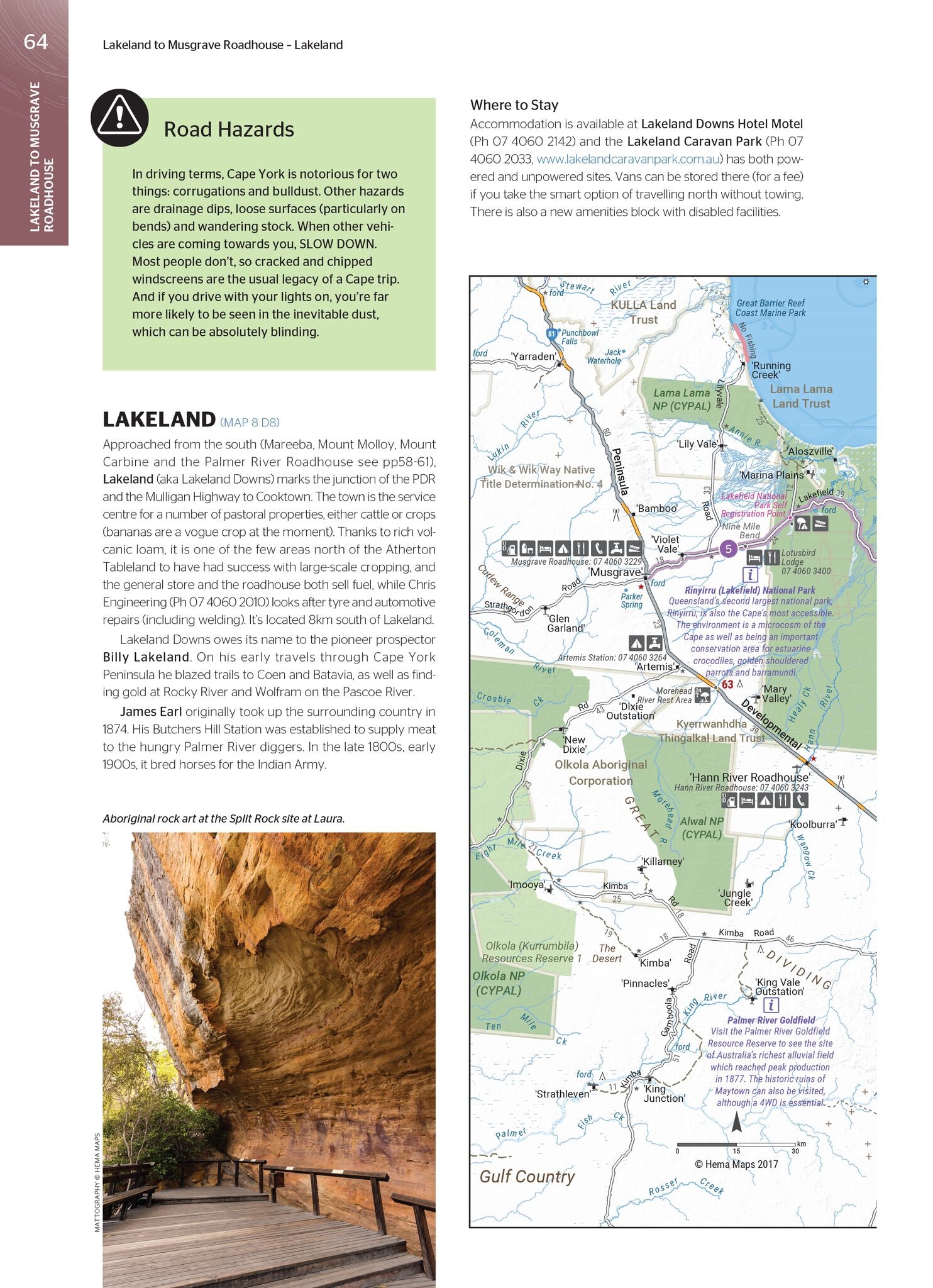
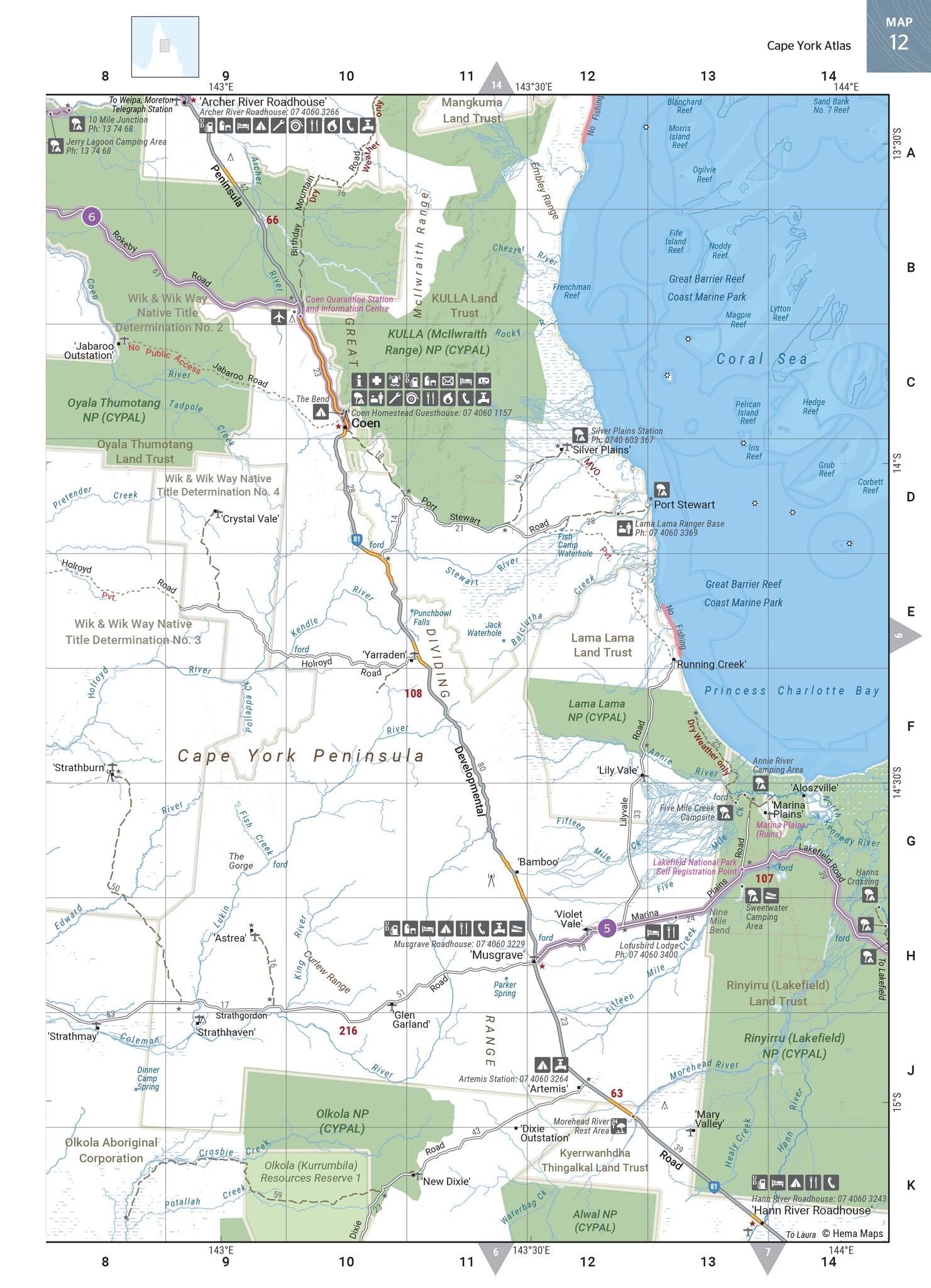
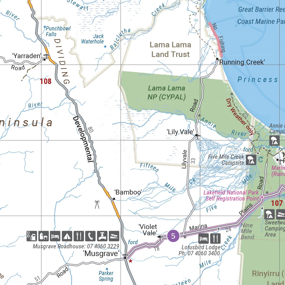
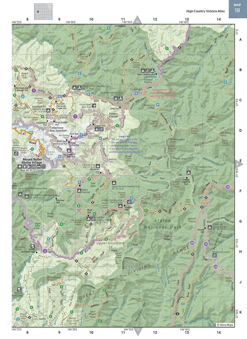
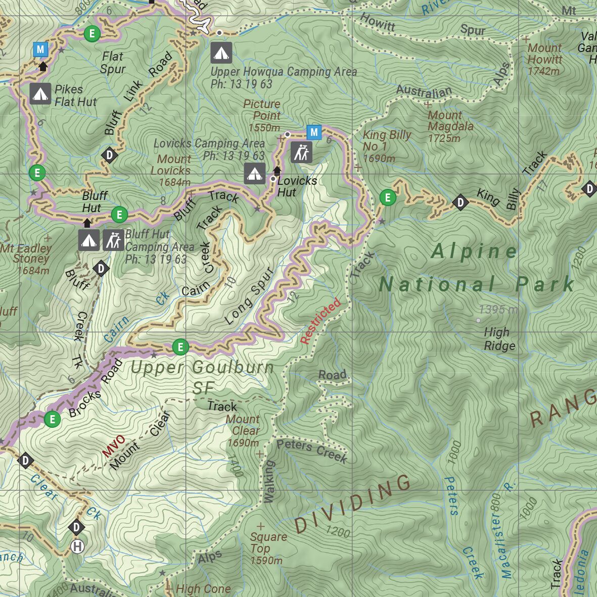
🗺️ 22 Full-Colour Atlas Pages
-
Detailed topographic-style cartography of Cape York Peninsula
-
Tracks, towns, fuel stops, accommodation, and natural features clearly marked
-
Relief shading and waterways enhance map readability
-
Includes large-scale insets of:
-
The Tip (1:250,000)
-
Lakefield National Park (Rinyirru)
-
Iron Range and Jardine River National Parks
-
Weipa, Cooktown, and Thursday Island
-
🏕️ Travel Essentials Section
Perfect for both first-timers and seasoned travellers, this section includes:
-
Trip preparation advice – vehicle setup, tyres, communication, and recovery gear
-
Camping and bush travel tips
-
A full list of permits, passes, and seasonal access rules
-
Info on fuel and supply availability, distances, and weather considerations
-
Cultural etiquette for visiting Aboriginal lands and interacting with Traditional Owners
📐 Specifications:
-
Edition: 5th
-
Published: September 2017
-
Format: Spiral-bound softcover with protective front and rear covers
-
Pages: 208
-
Dimensions: 297 mm (H) x 215 mm (W) x 15 mm (D)
-
Weight: Approx. 1.34 kg
-
Map Scales:
-
Regional overview: 1:750,000
-
Detailed local insets: 1:250,000
-
🌏 Why Choose This Guide?
✅ Field-Checked Accuracy:
All mapping is GPS-verified and road-tested by Hema’s own Map Patrol. You’re not relying on guesswork — you're following a path charted on the ground.
✅ Local Knowledge & Cultural Insight:
Includes expert editorial content from Ron and Viv Moon, who offer seasoned advice, travel stories, and must-see recommendations. Respectfully compiled information about Indigenous culture and customs gives depth to your journey.
✅ Designed for Durability:
The lay-flat spiral binding makes it practical for use on the road, in your lap, or on the bonnet. Robust enough to survive dust, humidity, and being stuffed into your glovebox for weeks.
✅ Planning to Driving:
A one-stop solution — from researching your trip at home, to navigating complex track networks, to finding a last-minute bush camp.
🧭 Perfect For:
-
4WD and adventure travellers heading to The Tip
-
Overlanders and off-grid campers looking for remote bush sites
-
Tour planners and tag-along operators mapping out custom trips
-
Geography students and educators studying Cape York's unique ecosystems and cultural significance
-
Travellers seeking a deeper, more authentic connection with Australia’s northern frontier
Whether you're splashing through Nolan’s Brook, relaxing at Eliot Falls, or standing at the very top of the continent, the Cape York Atlas & Guide ensures you're fully prepared, properly informed, and free to explore with confidence.
Go north. Go remote. Go equipped — with Hema.
Frequently Asked Questions
What does the Cape York Atlas & Guide Hema cover?
This atlas covers the geographic region indicated in the product title, including roads, towns, distances, and key travel information. Mapworld stocks atlases for Australian states and territories, 4WD regions, and international destinations.
Is this the latest edition?
Yes, this is the latest edition. Mapworld stocks the most current editions available from publishers.
Is this atlas or guide spiral bound?
Spiral binding is indicated in the product title where applicable. Spiral-bound atlases and guides lay flat when open, making them ideal for use in vehicles or on a table without needing to hold pages open.
Is the Cape York Atlas & Guide Hema in stock at Mapworld?
Mapworld maintains extensive stock across its map range and aims for fast dispatch. Orders placed before 2pm AEST on business days are typically dispatched the same day, with standard and express Australia-wide delivery options available.
Does Mapworld ship the Cape York Atlas & Guide Hema across Australia?
Yes, Mapworld ships Australia-wide. Standard shipping is a flat $7 rate, with free standard shipping on orders over $75. Express options are available at checkout. Most orders placed before 2pm AEST on weekdays are dispatched same day.
Related Items

© 2026 Mapworld. Website designed by Genie Media
X