- Australia ▾
- Topographic
▾
- Australia AUSTopo 250k (2024)
- Australia 50k Geoscience maps
- Australia 100k Geoscience maps
- Australia 250k Geoscience maps
- Australia 1.1m Geoscience maps
- New Zealand 50k maps
- New Zealand 250k maps
- New South Wales 25k maps
- New South Wales 50k maps
- New South Wales 100k maps
- Queensland 10k maps
- Queensland 25k maps
- Queensland 50k maps
- Queensland 100k maps
- Compasses
- Software
- GPS Systems
- Orienteering
- International ▾
- Wall Maps
▾
- World
- Australia & New Zealand
- Countries, Continents & Regions
- Historical
- Vintage National Geographic
- Australian Capital Territory
- New South Wales
- Northern Territory
- Queensland
- South Australia
- Tasmania
- Victoria
- Western Australia
- Celestial
- Children's
- Mining & Resources
- Wine Maps
- Healthcare
- Postcode Maps
- Electoral Maps
- Nautical ▾
- Flags
▾
- Australian Flag Sets & Banners
- Flag Bunting
- Handwavers
- Australian National Flags
- Aboriginal Flags
- Torres Strait Islander Flags
- International Flags
- Flagpoles & Accessories
- Australian Capital Territory Flags
- New South Wales Flags
- Northern Territory Flags
- Queensland Flags
- South Australia Flags
- Tasmania Flags
- Victoria Flags
- Western Australia Flags
- Gifts ▾
- Globes ▾
Dear valued customer. Please note that our checkout is not supported by old browsers. Please use a recent browser to access all checkout capabilities
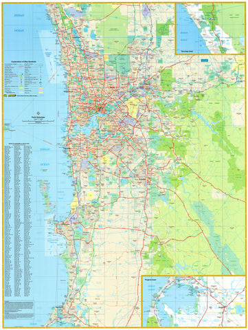
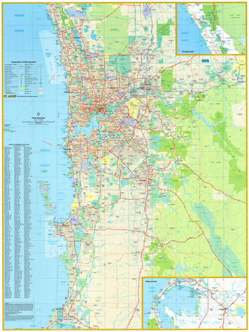
Pilbara Hema 1416 x 1323mm Supermap Wall Map
$129.95
or make 4 interest-free payments of
$32.49 AUD
fortnightly with
![]() More info
More info
A Detailed 4WD Adventure Map of One of Australia's Final Frontiers
Size: 1416 mm (W) x 1323 mm (H)
Available in Paper, Laminated, or Canvas with Optional Timber Hang Rails
Vast, rugged, and remote, the Pilbara is one of Australia’s last true wilderness frontiers—and this Hema Supermap is your ultimate guide to exploring it. Whether you're planning an off-grid 4WD expedition, navigating mining country, or tracing ancient landscapes, this map is packed with the most accurate and detailed cartographic data ever published for the region.
Extensively field-checked using Hema’s own GPS mapping systems, this map includes roads, outback tracks, and off-road routes—many of which have never before appeared on published maps.
🗺️ Map Features:
-
GPS-surveyed roads and 4WD tracks, including remote access routes
-
Camping areas, fuel stops, and remote roadhouses clearly marked
-
Inset maps for enhanced local detail in key regions
-
Highlights of natural attractions, National Parks, and what to see and do across the Pilbara
-
Road conditions and accessibility indicators for sealed, unsealed, and track-only routes
Ideal for serious explorers and weekend adventurers alike, this is the map you want when the bitumen ends.
🖨️ Available in Three Premium Formats
Choose the version that suits your space and travel needs:
📄 Paper (160 gsm matte-coated)
-
Perfect for framing under glass
-
Smooth finish with crisp cartographic clarity
🧴 Laminated (Encapsulated in 80-micron gloss laminate)
-
Water-resistant and tear-proof
-
Wipeable surface for whiteboard markers—great for trip planning
-
Compatible with map dots to mark campsites, destinations, or routes
🖼️ Canvas (395 gsm HP Professional Matte Canvas)
-
Printed with pigment-based inks for superior fade resistance
-
Museum-grade finish with outstanding texture and detail
-
Extremely durable—designed for long-term display or rugged environments
Optional Timber Hang Rails for Laminated & Canvas Maps
-
Professionally attached natural timber hang rails (lacquered finish)
-
Top rail includes a hanging cord for easy mounting—just one hook required
-
A stylish and practical alternative to framing
⚠️ Note: Hang-railed maps require up to 10 working days for custom finishing by our framer.
📐 Specifications
| Feature | Detail |
|---|---|
| Map Title | Pilbara Supermap – Hema |
| Publisher | Hema Maps (Australia) |
| Region Covered | Pilbara region, WA |
| Features | 4WD tracks, camping areas, fuel, parks, POIs |
| Size (Flat) | 1416 mm (W) x 1323 mm (H) |
| Finish Options | Paper, Laminated, or Canvas |
| Canvas Hanging | Optional timber hang rails (top & bottom) |
| Printed In | Australia |
🧭 Perfect For:
-
🛻 4WD adventurers heading into remote outback country
-
🏕️ Campers and caravanners exploring Western Australia's hidden gems
-
📍 Tour planners and operators seeking a large-format display of the Pilbara
-
🏡 Home or office décor – particularly for mining, resources, or travel professionals
-
🎓 Classrooms or libraries teaching Australian geography and landforms
The Pilbara Supermap by Hema is not just a map—it's a field-tested tool for adventure, designed to guide and inspire those venturing into one of Australia's most extraordinary landscapes. With reliable cartography, rugged materials, and stunning visual detail, it’s a map built for those who prefer red dust to pavement.
Explore further. Plan smarter. Display it proudly.


