- Australia ▾
- Topographic
▾
- Australia AUSTopo 250k (2025)
- Australia 50k Geoscience maps
- Australia 100k Geoscience maps
- Australia 250k Geoscience maps
- Australia 1:1m Geoscience maps
- New Zealand 50k maps
- New Zealand 250k maps
- New South Wales 25k maps
- New South Wales 50k maps
- New South Wales 100k maps
- Queensland 10k maps
- Queensland 25k maps
- Queensland 50k maps
- Queensland 100k maps
- Western Australia 25k maps
- Western Australia 50k maps
- Western Australia 100k maps
- Compasses
- Software
- GPS Systems
- International ▾
- Wall Maps
▾
- World
- Australia & New Zealand
- Countries, Continents & Regions
- Historical
- Vintage National Geographic
- Australian Capital Territory
- New South Wales
- Northern Territory
- Queensland
- South Australia
- Tasmania
- Victoria
- Western Australia
- Celestial
- Children's
- Mining & Resources
- Wine Maps
- Healthcare
- Postcode Maps
- Electoral Maps
- Nautical ▾
- Flags
▾
- Australian Flag Sets & Banners
- Flag Bunting
- Handwavers
- Australian National Flags
- Aboriginal Flags
- Torres Strait Islander Flags
- International Flags
- Flagpoles & Accessories
- Australian Capital Territory Flags
- New South Wales Flags
- Northern Territory Flags
- Queensland Flags
- South Australia Flags
- Tasmania Flags
- Victoria Flags
- Western Australia Flags
- Gifts ▾
- Globes ▾
Dear valued customer. Please note that our checkout is not supported by old browsers. Please use a recent browser to access all checkout capabilities


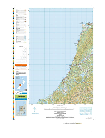
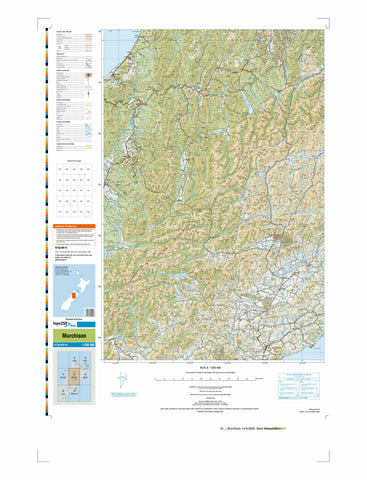
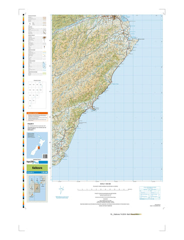
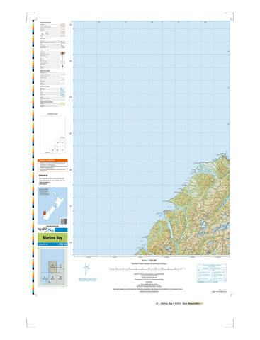
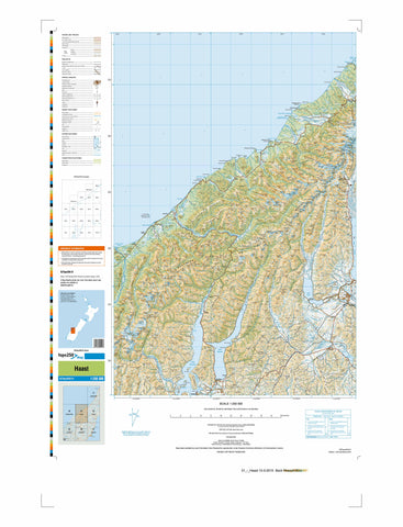
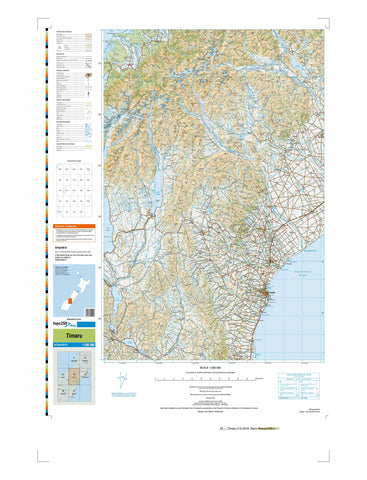
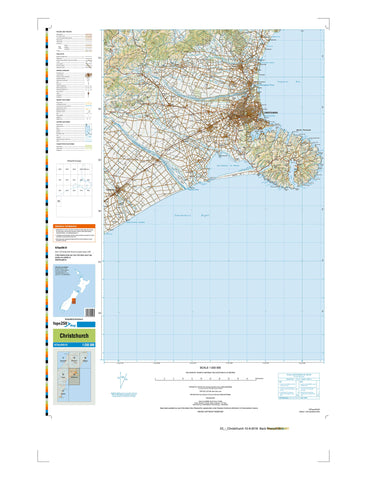
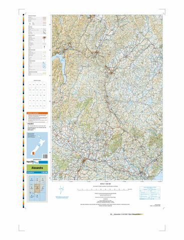
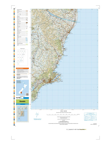
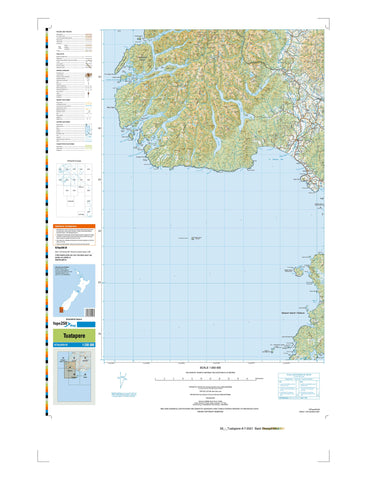
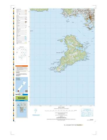
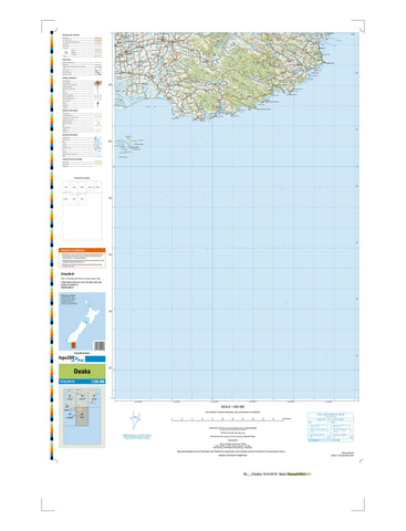
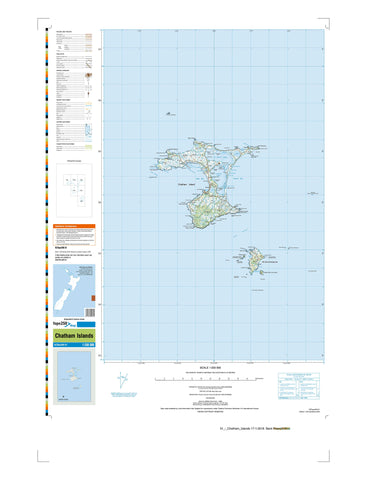
New Zealand 250k maps
Get a broad yet detailed view of Aotearoa with our collection of 1:250,000 topographic maps of New Zealand, produced by Toitū Te Whenua Land Information New Zealand (LINZ). These maps are perfect for regional planning, road trips, educational use, or anyone seeking a comprehensive overview of the country’s varied landscapes—from rolling farmland and volcanic plateaus to mountain ranges and remote coastlines.
At a scale where 1 centimetre represents 2.5 kilometres on the ground, these maps strike a perfect balance between coverage and clarity, showing key features such as highways, rivers, towns, topography, and national parks.
Available in paper, waterproof, or laminated formats:
- Paper and waterproof maps are folded unless a flat version is requested.
- Laminated maps are rolled and shipped in protective tubes—great for display or frequent handling.
Every map is printed with non-fade, pigment-based ink on high-quality stock to ensure long-lasting durability and crisp detail.
Whether you're planning a South Island road trip, studying New Zealand’s physical geography, or simply want a striking wall map, the 1:250k topographic series offers a reliable and visually rich way to see the country from a wider perspective.


© 2026 Mapworld. Website designed by Genie Media
X