- Australia ▾
- Topographic
▾
- Australia AUSTopo 250k (2025)
- Australia 50k Geoscience maps
- Australia 100k Geoscience maps
- Australia 250k Geoscience maps
- Australia 1:1m Geoscience maps
- New Zealand 50k maps
- New Zealand 250k maps
- New South Wales 25k maps
- New South Wales 50k maps
- New South Wales 100k maps
- Queensland 10k maps
- Queensland 25k maps
- Queensland 50k maps
- Queensland 100k maps
- Western Australia 25k maps
- Western Australia 50k maps
- Western Australia 100k maps
- Compasses
- Software
- GPS Systems
- International ▾
- Wall Maps
▾
- World
- Australian Wall Maps
- Countries, Continents & Regions
- Historical
- Vintage National Geographic
- Australian Capital Territory
- New South Wales
- Northern Territory
- Queensland
- South Australia
- Tasmania
- Victoria
- Western Australia
- Celestial
- Children's
- Mining & Resources
- Wine Maps
- Healthcare
- Postcode Maps
- Electoral Maps
- Nautical ▾
- Flags
▾
- Australian Flag Sets & Banners
- Flag Bunting
- Handwavers
- Australian National Flags
- Aboriginal Flags
- Torres Strait Islander Flags
- International Flags
- Flagpoles & Accessories
- Australian Capital Territory Flags
- New South Wales Flags
- Northern Territory Flags
- Queensland Flags
- South Australia Flags
- Tasmania Flags
- Victoria Flags
- Western Australia Flags
- Gifts ▾
- Globes ▾
Dear valued customer. Please note that our checkout is not supported by old browsers. Please use a recent browser to access all checkout capabilities



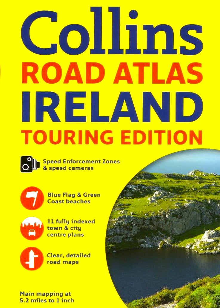
Ireland Road Atlas Collins
Sold Out
Afterpay is only available for orders between $50.00 and $1000.00 More info
🇮🇪 Ireland Road Atlas by Collins
Bestselling Touring Atlas • A4 Spiral-Bound • Fully Indexed
🧭 The No. 1 Choice for Road Travel in Ireland
The Collins Ireland Road Atlas is Ireland’s best-selling touring atlas—and for good reason. This compact yet comprehensive A4 spiral-bound edition is the essential travel companion for navigating every corner of the Emerald Isle. Whether you're planning an epic road trip along the Wild Atlantic Way, exploring city streets in Dublin, or venturing through quiet country lanes in County Clare, this atlas has you covered with crystal-clear colour maps, detailed urban layouts, and helpful tourism guidance.
🗺️ Key Features
| ✅ Feature | 📌 Description |
|---|---|
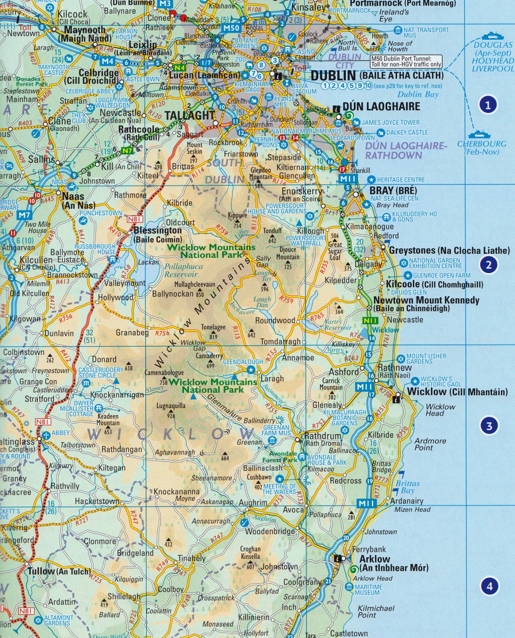
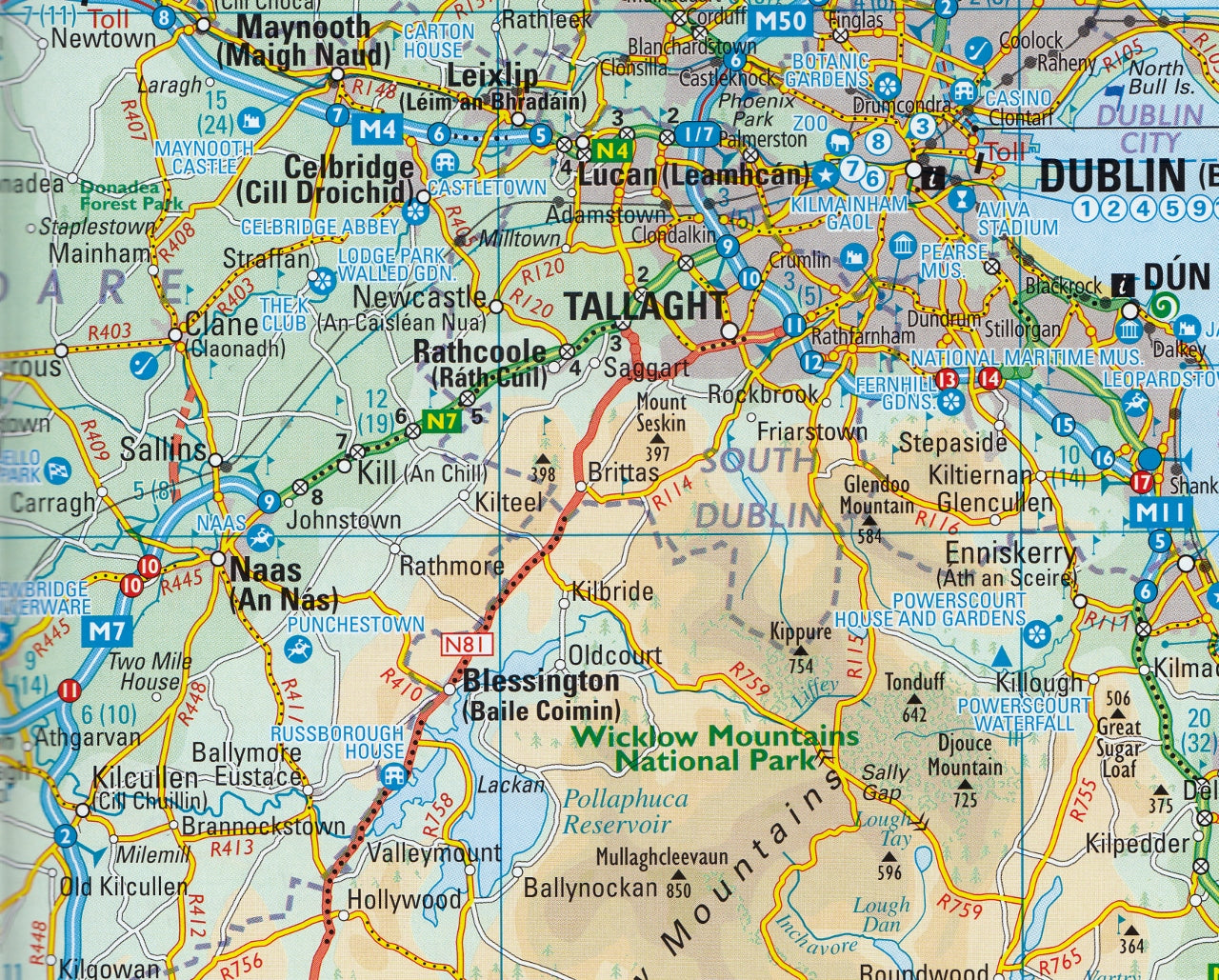
| 📏 Mapping Scale | 5.2 miles to 1 inch (1:330,000) – ideal for planning and driving |
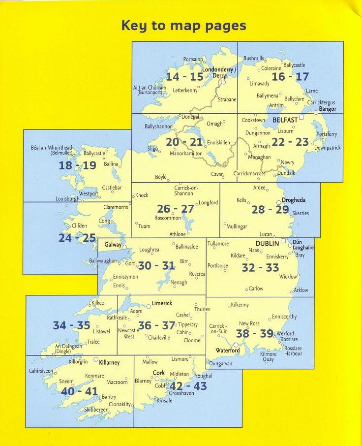
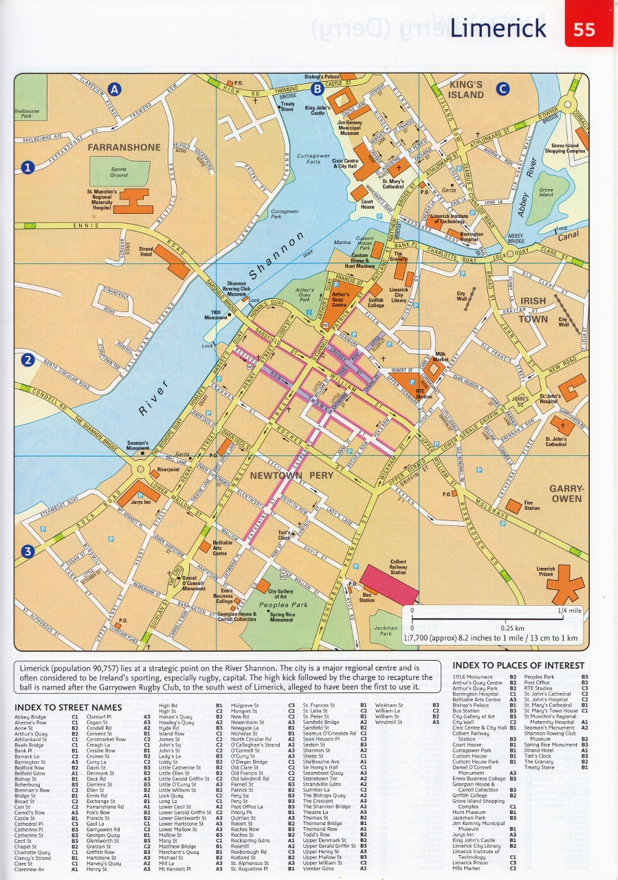
| 🌍 Fully Indexed Street Maps | Includes 11 major towns and cities: Dublin, Belfast, Cork, Limerick, Londonderry (Derry), Galway, Bangor, Waterford, Dun Laoghaire, Drogheda & Killarney |
| 🛣️ Route Planning Map | National planning overview at 15.8 miles to 1 inch |
| 📍 Tourist Information | Locations of tourist attractions & Tourist Info Centres, all cross-referenced to the mapping |
| ⚠️ Speed Zones & Cameras | Clearly marked fixed speed camera sites & enforcement zones |
| 🌊 Beaches | Blue Flag and Green Coast beach designations identified |
| 🛳️ Travel Infrastructure | Ferry routes, airport locations, and a detailed distance chart |
| 🗺️ Administrative Mapping | Shows Irish county & district boundaries |
| 🏔️ Terrain Shading | Subtle layer colouring for elevation and land height visibility |
📚 What Makes This Atlas Stand Out?
-
Compact A4 format fits easily in your glove box or travel bag
-
Spiral binding makes for easy handling while navigating
-
Updated mapping with distances in both miles and kilometres
-
Trusted by residents and visitors alike for stress-free travel across Ireland
-
Ideal for holidaymakers, delivery drivers, touring cyclists, and family trips
🧳 Who Is This Atlas For?
✅ Self-drive tourists exploring Ireland’s coastal routes and scenic byways
✅ Local residents seeking a reliable and easy-to-read map reference
✅ Caravaners, campers, and hikers venturing off the beaten track
✅ Tour guides, drivers, and logistics professionals needing up-to-date road info
✅ Anyone without reliable mobile signal in remote rural areas
📐 Product Specifications
| Attribute | Detail |
|---|---|
| Format | A4 Spiral-bound paperback |
| Scale (main maps) | 1:330,000 (5.2 miles to 1 inch) |
| Route Planning Map | 1:1,000,000 (15.8 miles to 1 inch) |
| Size | A4 (210 x 297 mm) |
| Publisher | Collins |
🗺️ Drive smarter, explore deeper, and never miss a detour worth taking. The Collins Ireland Road Atlas is your go-anywhere, do-everything navigation partner.
🛒 Add to cart now and take the wheel with confidence.
Frequently Asked Questions
What does the Ireland Road Atlas Collins cover?
This atlas covers the geographic region indicated in the product title, including roads, towns, distances, and key travel information. Mapworld stocks atlases for Australian states and territories, 4WD regions, and international destinations.
Is this the latest edition?
Yes, this is the latest edition. Mapworld stocks the most current editions available from publishers.
Is this atlas or guide spiral bound?
Spiral binding is indicated in the product title where applicable. Spiral-bound atlases and guides lay flat when open, making them ideal for use in vehicles or on a table without needing to hold pages open.
Is the Ireland Road Atlas Collins in stock at Mapworld?
Mapworld maintains extensive stock across its map range and aims for fast dispatch. Orders placed before 2pm AEST on business days are typically dispatched the same day, with standard and express Australia-wide delivery options available.
Does Mapworld ship the Ireland Road Atlas Collins across Australia?
Yes, Mapworld ships Australia-wide. Standard shipping is a flat $7 rate, with free standard shipping on orders over $75. Express options are available at checkout. Most orders placed before 2pm AEST on weekdays are dispatched same day.
Related Items


© 2026 Mapworld. Website designed by Genie Media


X