- Australia ▾
- Topographic
▾
- Australia AUSTopo 250k (2025)
- Australia 50k Geoscience maps
- Australia 100k Geoscience maps
- Australia 250k Geoscience maps
- Australia 1:1m Geoscience maps
- New Zealand 50k maps
- New Zealand 250k maps
- New South Wales 25k maps
- New South Wales 50k maps
- New South Wales 100k maps
- Queensland 10k maps
- Queensland 25k maps
- Queensland 50k maps
- Queensland 100k maps
- Compasses
- Software
- GPS Systems
- Orienteering
- International ▾
- Wall Maps
▾
- World
- Australia & New Zealand
- Countries, Continents & Regions
- Historical
- Vintage National Geographic
- Australian Capital Territory
- New South Wales
- Northern Territory
- Queensland
- South Australia
- Tasmania
- Victoria
- Western Australia
- Celestial
- Children's
- Mining & Resources
- Wine Maps
- Healthcare
- Postcode Maps
- Electoral Maps
- Nautical ▾
- Flags
▾
- Australian Flag Sets & Banners
- Flag Bunting
- Handwavers
- Australian National Flags
- Aboriginal Flags
- Torres Strait Islander Flags
- International Flags
- Flagpoles & Accessories
- Australian Capital Territory Flags
- New South Wales Flags
- Northern Territory Flags
- Queensland Flags
- South Australia Flags
- Tasmania Flags
- Victoria Flags
- Western Australia Flags
- Gifts ▾
- Globes ▾
Dear valued customer. Please note that our checkout is not supported by old browsers. Please use a recent browser to access all checkout capabilities


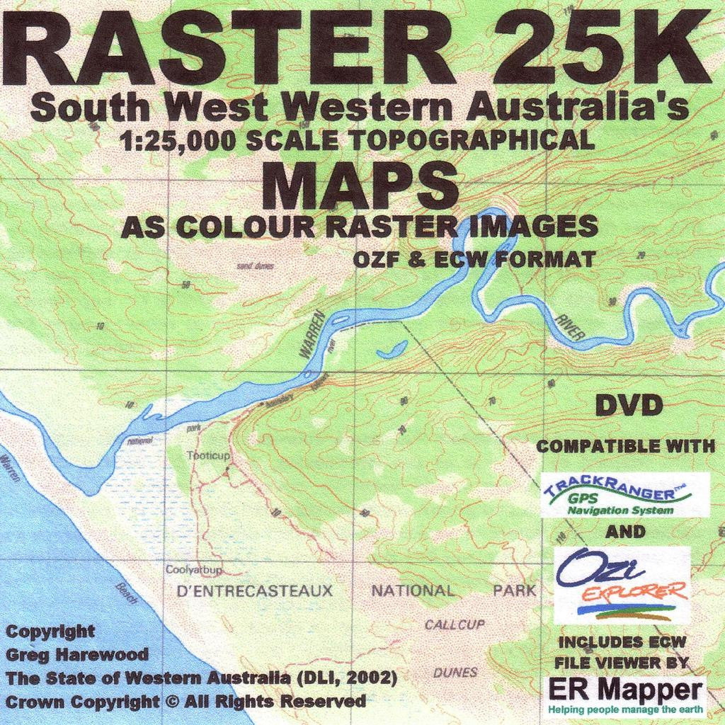
South West 25K Topo USB - Greg Harewood
Sold Out
Over 1,100 Detailed Topographic Maps | USB Format | Ideal for GPS & Offline Navigation
Whether you're hiking the Bibbulmun Track, cycling the Munda Biddi Trail, or exploring remote 4WD trails through Western Australia’s southwest, this USB is your ultimate offline mapping solution. Produced by respected cartographer Greg Harewood, this product delivers high-resolution 1:25,000 topographic maps—perfect for backcountry navigation, research, and planning.
✅ Key Features & Inclusions
1,103 Raster Topographic Maps at 1:25,000 Scale
-
Comprehensive coverage of South West Western Australia
-
Includes select Mid West and North West towns for broader utility
-
Perfect for walkers, cyclists, 4WD enthusiasts, ecologists, surveyors, and land managers
Full Mosaic View for Seamless Navigation
-
Includes a complete mosaic of all 25K sheets
-
Major long-distance tracks marked, including:
-
Bibbulmun Track
-
Munda Biddi Trail
-
Cape to Cape Track
-
Topographic Detail
-
Contour interval: 5 metres
-
Features include terrain, vegetation, rivers, tracks, walking trails, and reserves
Also Includes:
-
Name database for quick lookup of places and features
-
250K map sheets to fill coverage gaps where 25K is not available
Device Compatibility
-
Fully compatible with OziExplorer on Windows desktops and laptops
-
Supports Hema Navigator, VMS GPS Units, and Android-powered GPS apps
-
Ideal for offline route planning, field use, or digital map analysis
Product Specifications
| Feature | Details |
|---|---|
| Product | South West 25K Topographic USB |
| Author | Greg Harewood |
| Map Format | Raster image files (JPEG, PNG or compatible) on USB |
| Map Count | 1,103 individual 1:25K sheets + full mosaic |
| Supplementary Maps | 1:250K maps for uncovered areas |
| Contour Interval | 5 metres |
| Included Tracks | Bibbulmun Track, Munda Biddi Trail, Cape to Cape Track |
| Extras | Name/place database for easy location search |
| Compatibility | OziExplorer, Hema Navigator, VMS GPS, Android devices |
| Usage | Ideal for offline use – perfect for field navigation and trip planning |
Perfect For:
✔️ Hikers, Cyclists & 4WD Tourers exploring the South West
✔️ Environmental Consultants & Researchers needing fine-resolution mapping
✔️ Bushwalkers & Adventure Planners using OziExplorer or GPS navigation tools
✔️ Land Managers & Local Authorities requiring GIS-quality topography
✔️ Anyone offline or off-grid in regional WA
🛒 Add to Cart Today and take your exploration of South West Western Australia to the next level—with the most detailed and versatile offline topographic resource available.
Frequently Asked Questions
Where can I buy the South West 25K Topo USB - Greg Harewood?
The South West 25K Topo USB - Greg Harewood is available to buy online from Mapworld, Australia's largest map and geographic product retailer, with fast shipping Australia-wide.
Is the South West 25K Topo USB - Greg Harewood in stock at Mapworld?
Mapworld maintains extensive stock across its map range and aims for fast dispatch. Orders placed before 2pm AEST on business days are typically dispatched the same day, with standard and express Australia-wide delivery options available.
What is Mapworld's returns policy?
Mapworld accepts returns on undamaged items in original condition. Contact Mapworld within 90 days of purchase to arrange a return or exchange.
Does Mapworld ship the South West 25K Topo USB - Greg Harewood across Australia?
Yes, Mapworld ships Australia-wide. Standard shipping is a flat $7 rate, with free standard shipping on orders over $75. Express options are available at checkout. Most orders placed before 2pm AEST on weekdays are dispatched same day.
Related Items


© 2026 Mapworld. Website designed by Genie Media
X