- Australia ▾
- Topographic
▾
- Australia AUSTopo 250k (2024)
- Australia 50k Geoscience maps
- Australia 100k Geoscience maps
- Australia 250k Geoscience maps
- Australia 1.1m Geoscience maps
- New Zealand 50k maps
- New Zealand 250k maps
- New South Wales 25k maps
- New South Wales 50k maps
- New South Wales 100k maps
- Queensland 10k maps
- Queensland 25k maps
- Queensland 50k maps
- Queensland 100k maps
- Compasses
- Software
- GPS Systems
- Orienteering
- International ▾
- Wall Maps
▾
- World
- Australia & New Zealand
- Countries, Continents & Regions
- Historical
- Vintage National Geographic
- Australian Capital Territory
- New South Wales
- Northern Territory
- Queensland
- South Australia
- Tasmania
- Victoria
- Western Australia
- Celestial
- Children's
- Mining & Resources
- Wine Maps
- Healthcare
- Postcode Maps
- Electoral Maps
- Nautical ▾
- Flags
▾
- Australian Flag Sets & Banners
- Flag Bunting
- Handwavers
- Australian National Flags
- Aboriginal Flags
- Torres Strait Islander Flags
- International Flags
- Flagpoles & Accessories
- Australian Capital Territory Flags
- New South Wales Flags
- Northern Territory Flags
- Queensland Flags
- South Australia Flags
- Tasmania Flags
- Victoria Flags
- Western Australia Flags
- Gifts ▾
- Globes ▾
Dear valued customer. Please note that our checkout is not supported by old browsers. Please use a recent browser to access all checkout capabilities


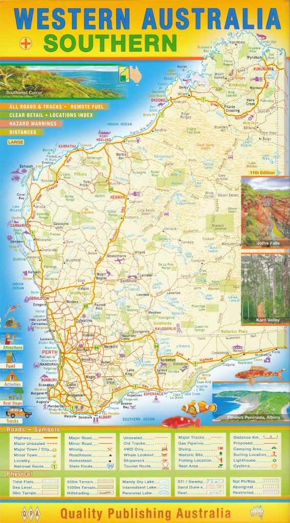
Western Australia & Southern WA Large QPA Map
$12.95 $14.95
Afterpay is only available for orders between $50.00 and $1000.00 More info
Explore the vastness of WA in stunning detail — from its remote frontiers to its thriving southern corridor
This Large Format Western Australia & Southern WA Wall Map by QPA is a highly detailed, double-sided map that brings Australia’s largest and most rugged state to life. Ideal for travellers, planners, educators, or anyone with a love for wide horizons, this map offers both a complete state overview and an enlarged focus on the richly populated and frequently travelled southern quadrant of Western Australia.
Whether you're planning a cross-state adventure, managing regional logistics, or simply want to appreciate the scale and diversity of WA, this map offers an engaging, accurate, and beautifully printed reference for your wall.
🧭 Key Features
Double-Sided Design for Maximum Utility
-
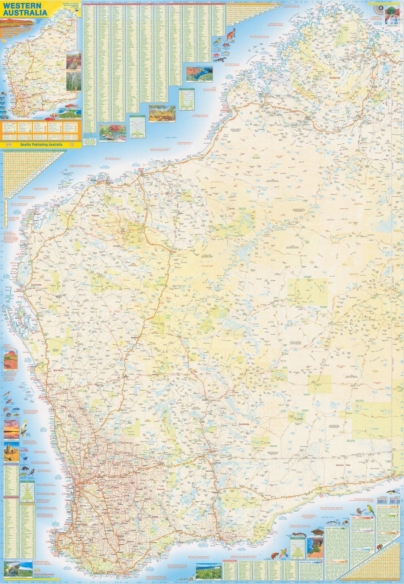
Front Side – Full map of Western Australia at a scale of 1:2,500,000
Covers the entire state from the Kimberley to the Great Australian Bight, showing highways, regional roads, towns, and geographic features. -
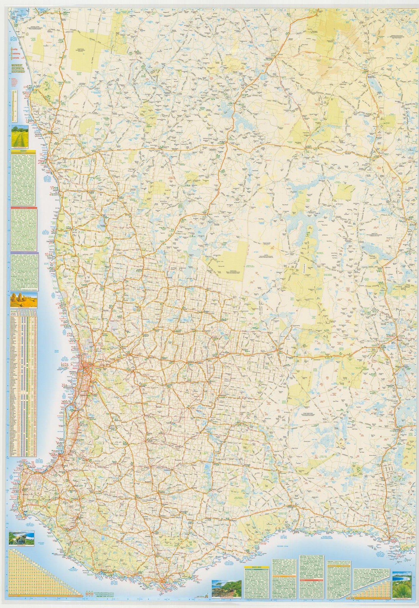
Reverse Side – Enlarged blow-up map of Southern WA
Focuses on the vital region stretching from just south of Shark Bay across to Esperance, capturing key towns and transport routes in and around Geraldton, Albany, Kalgoorlie, and Esperance. This is the perfect scale for tourism, agriculture, mining, and logistics planning in the state's economic heartland.
🛣️ Highly Detailed Road Network
Includes national highways, major arterial roads, and minor roads—perfect for navigation and trip planning.
🏞️ Natural Features Highlighted
Clearly marked national parks, reserves, coastlines, and water bodies provide valuable context for environmental awareness and travel.
📍 Regional & Town Markings
From bustling Perth to remote outback settlements, all major towns and localities are accurately marked and named.
🖼️ Format & Finish Options
| Finish Type | Description |
|---|---|
| Paper | Ideal for framing under glass or pinning in an office or classroom setting |
| Laminated | Encapsulated in high-quality 80-micron gloss laminate – tear-resistant and markable with whiteboard pens or map dots |
✨ The laminated version is perfect for those who want a long-lasting and interactive wall display—use it to plot routes, highlight destinations, or mark project zones with ease.
📐 Specifications
| Specification | Details |
|---|---|
| Map Type | Double-sided wall map |
| Front Scale | 1:2,500,000 (entire Western Australia) |
| Reverse Scale | Approx. 1:1,500,000 (Southern WA detail) |
| Map Dimensions | 1010 mm (height) × 710 mm (width) |
| Publisher | QPA Maps Australia |
| Material | Paper or laminated gloss |
| Orientation | Portrait |
| Edition | Latest available |
| Made in | Australia |
🎯 Who This Map is For
-
🧭 Adventure Travellers – Plan outback road trips, fuel stops, and scenic routes with clarity.
-
🛠️ Regional Planners & Contractors – Ideal for resource planning, infrastructure mapping, and site logistics.
-
🏫 Teachers & Students – A valuable visual aid for understanding WA’s vast geography and settlement patterns.
-
🏡 Home & Office Décor – A bold and informative wall feature that reflects your connection to Western Australia.
-
🚛 Transport & Logistics Operators – Especially useful for fleet route planning and southern quadrant coordination.
🛠️ Need a matching map for the Northern Territory, Queensland, or South Australia? Ask us – we’ve got your wall covered.


