Rooftop Maps | Topographic | Laminatable | Scale 1:100,000 / 1:50,000
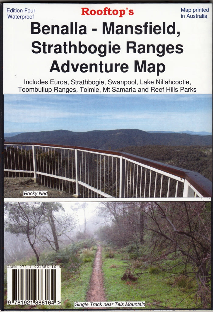
Discover the high country’s rugged charm and alpine secrets with the Benalla – Mansfield – Strathbogie Ranges Adventure Map, produced by the trusted cartographers at Rooftop Maps. This meticulously crafted topographic map covers a richly varied landscape—perfect for walkers, campers, 4WD enthusiasts, and anyone eager to explore the wild heart of Victoria.
🏞️ Extensive Coverage & Detailed Mapping
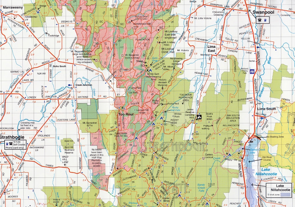
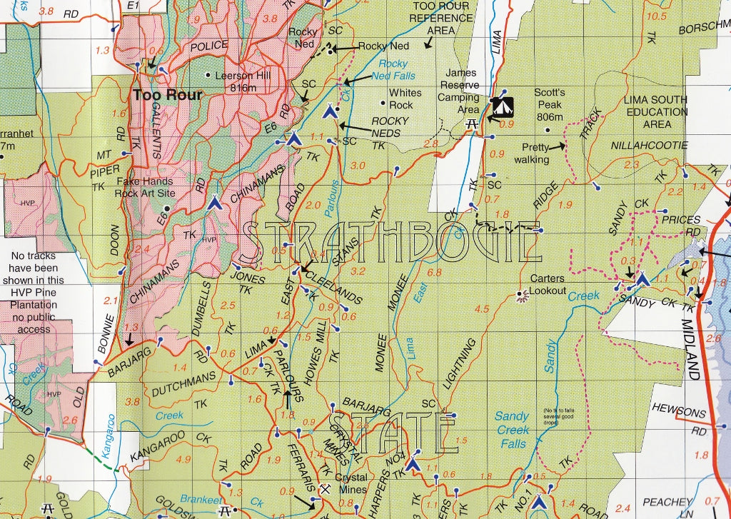
This map offers topographic detail at 1:100,000 scale for the broader region, with a 1:50,000 scale enlargement on the reverse for the Strathbogie Forest, complete with contour lines. The mapping includes over 7,500 km of roads and tracks, field-checked with GPS technology to ensure precision.
Featured Areas:
-
Benalla & Mansfield
-
Strathbogie & Mount Strathbogie
-
Lake Nillahcootie & Mount Samaria
-
Mount Wombat & Reef Hills
-
Euroa, Bonnie Doon, Swanpool & Tolmie
-
Toombullup State Forest & Strathbogie Forest
No corner is left unmapped—from rivers and ridgelines to the smallest backtrack worth exploring.
Adventure-Ready Detail
Packed with symbols and travel information essential for outdoor navigation:
| Feature Type | Examples Included |
|---|---|
| 🏕️ Camping & Cabins | Caravan parks, bush huts, camping sites |
| 🚗 4WD & Access | 4WD tracks, condition notes, fire warnings |
| 🛶 Water Activities | Boat ramps, lakes, fishing spots |
| 👁️ Lookouts | Scenic viewpoints, picnic areas |
| ⛽ Services | Fuel stations, public phones |
| 🏞️ Historical Sites | Mines, relics, heritage landmarks |
Additionally, the map includes amenity opening times, track updates, and local travel advice, making it an indispensable planning companion.
Strathbogie Forest Activities Map – On the Reverse
The reverse side features a dedicated 1:50,000 scale topographic map of the Strathbogie Forest, including detailed contours, elevation, and terrain—ideal for hikers and off-road explorers seeking a deeper understanding of the terrain.
Map Features
-
Field-checked with high-accuracy GPS data
-
All parks, reserves, and state forests shown
-
Clearly marked roads, trails, tracks, and points of interest
-
Fire warnings and updates for safety-conscious travellers
-
Fully indexed and legend-keyed for user convenience
-
Produced on durable, high-resolution paper stock
Laminated Option Available
Want to mark routes, campsites, or track your journey? We offer a laminated version, perfect for:
-
Drawing on with whiteboard markers (and wiping clean)
-
Applying Map Dots for visual trip planning
-
Withstanding field use thanks to its tear-resistant, waterproof surface
Note: Laminated maps are created from previously folded stock, so slight crease lines may be visible.
📏 Product Specifications
| Attribute | Detail |
|---|---|
| Publisher | Rooftop Maps |
| Region | North-East Victoria, Australia |
| Scales | 1:100,000 (Main) / 1:50,000 (Inset) |
| Size | 700 mm (W) x 1000 mm (H) unfolded |
| Reverse Map | Strathbogie Forest Enlarged Map |
| Finish | Laminated or Paper (optional) |
Why This Map?
This is not your average map—it's a comprehensive field guide to one of Victoria’s most beloved and biodiverse high country regions. Whether you’re driving the forest roads, tracing mountain trails, or casting lines in alpine rivers, the Benalla – Mansfield – Strathbogie Ranges Adventure Map is your most reliable companion in the wild.
Plot the adventure. Discover the forest. Respect the landscape.
Let Rooftop guide you there.