- Australia ▾
- Topographic
▾
- Australia AUSTopo 250k (2025)
- Australia 50k Geoscience maps
- Australia 100k Geoscience maps
- Australia 250k Geoscience maps
- Australia 1:1m Geoscience maps
- New Zealand 50k maps
- New Zealand 250k maps
- New South Wales 25k maps
- New South Wales 50k maps
- New South Wales 100k maps
- Queensland 10k maps
- Queensland 25k maps
- Queensland 50k maps
- Queensland 100k maps
- Compasses
- Software
- GPS Systems
- Orienteering
- International ▾
- Wall Maps
▾
- World
- Australia & New Zealand
- Countries, Continents & Regions
- Historical
- Vintage National Geographic
- Australian Capital Territory
- New South Wales
- Northern Territory
- Queensland
- South Australia
- Tasmania
- Victoria
- Western Australia
- Celestial
- Children's
- Mining & Resources
- Wine Maps
- Healthcare
- Postcode Maps
- Electoral Maps
- Nautical ▾
- Flags
▾
- Australian Flag Sets & Banners
- Flag Bunting
- Handwavers
- Australian National Flags
- Aboriginal Flags
- Torres Strait Islander Flags
- International Flags
- Flagpoles & Accessories
- Australian Capital Territory Flags
- New South Wales Flags
- Northern Territory Flags
- Queensland Flags
- South Australia Flags
- Tasmania Flags
- Victoria Flags
- Western Australia Flags
- Gifts ▾
- Globes ▾
Dear valued customer. Please note that our checkout is not supported by old browsers. Please use a recent browser to access all checkout capabilities


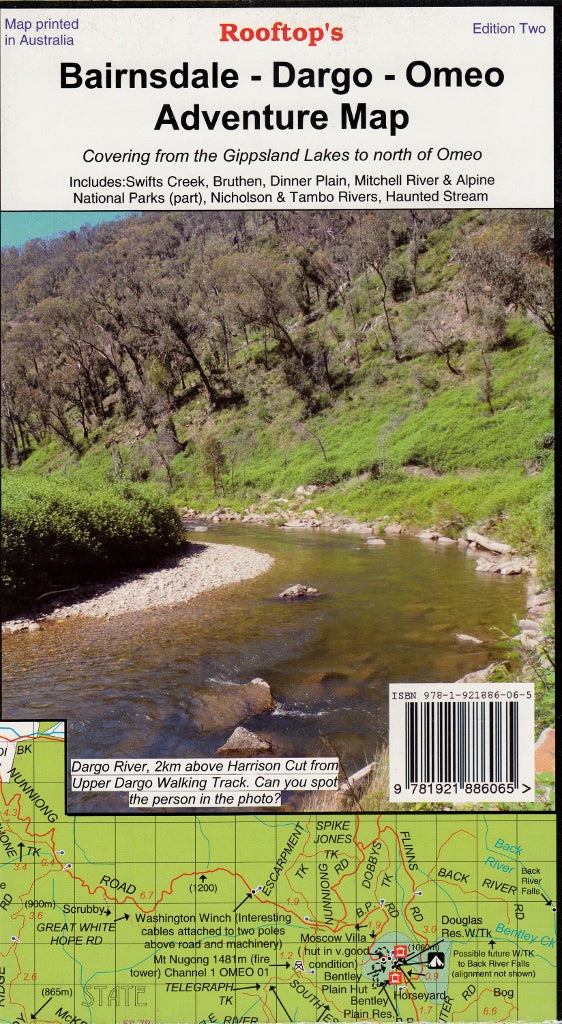
Bairnsdale - Dargo - Omeo Adventure Map Rooftop
$12.95 $14.95
Afterpay is only available for orders between $50.00 and $1000.00 More info
Your Ultimate Guide to Victoria’s High Country Backroads & Alpine Forests
For travellers, off-road adventurers, bushwalkers and 4WD enthusiasts alike, the Bairnsdale – Dargo – Omeo Adventure Map by Rooftop Maps is the gold standard in topographic field mapping for Victoria’s East Gippsland and Alpine regions.
More than just a map, this is a carefully curated explorer’s tool, rich with hand-annotated details, local track insights, and safety markers that make it indispensable when you’re venturing beyond sealed roads and mobile coverage.
🧭 Explore the Heart of the Victorian High Country
Spanning the landscape from the tranquil waters of the Gippsland Lakes all the way north past Omeo, this map covers a wide array of natural, cultural, and historic locations, including:
-
Swifts Creek, Dargo, Bruthen, and Dinner Plain
-
Mitchell River and parts of Alpine National Parks
-
The Tambo, Nicholson, and Haunted Stream rivers
-
Popular camping, hut locations, and remote alpine tracks
Whether you’re meandering along forest trails or tackling steep switchbacks, this map ensures you can do so with clarity and confidence.
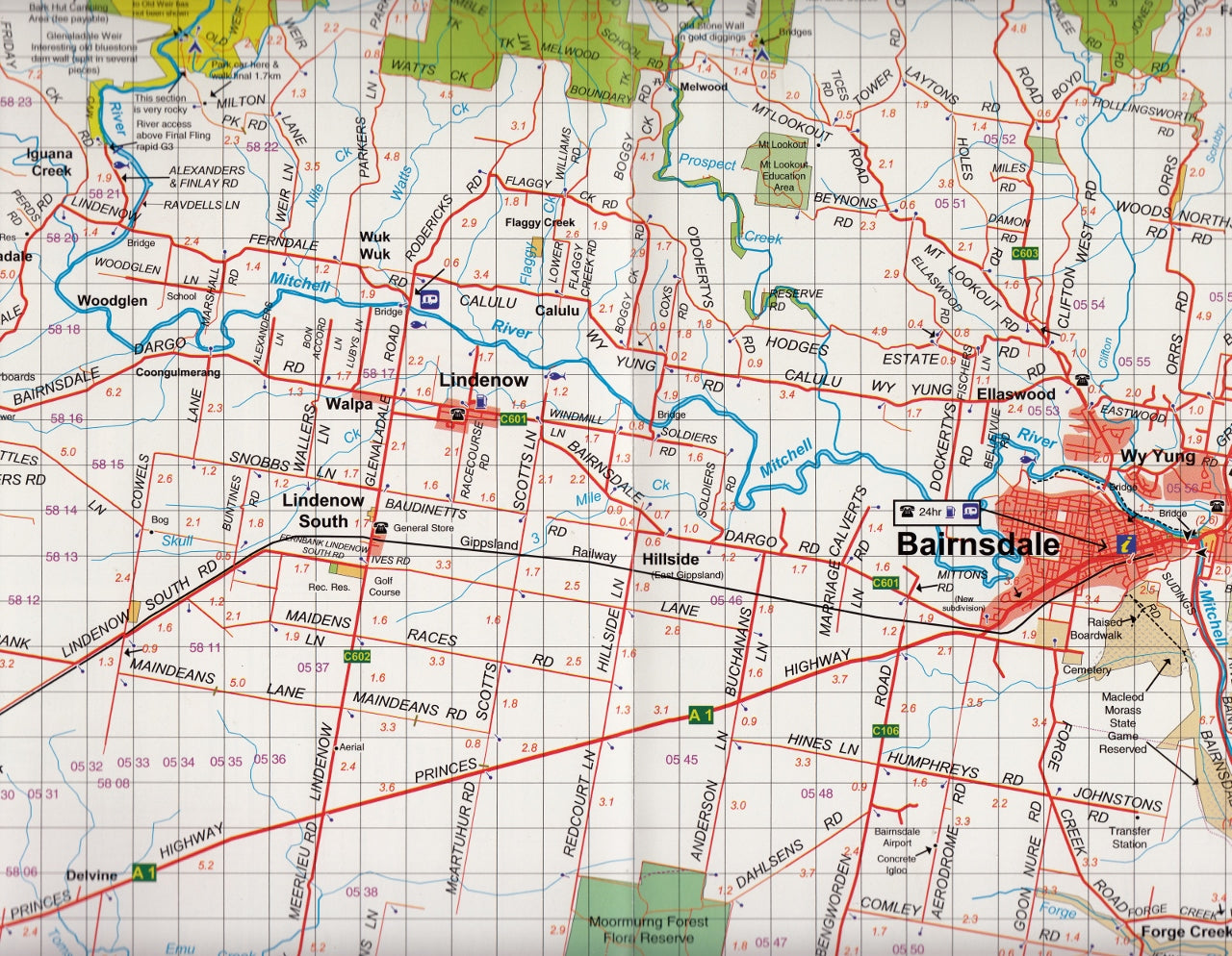
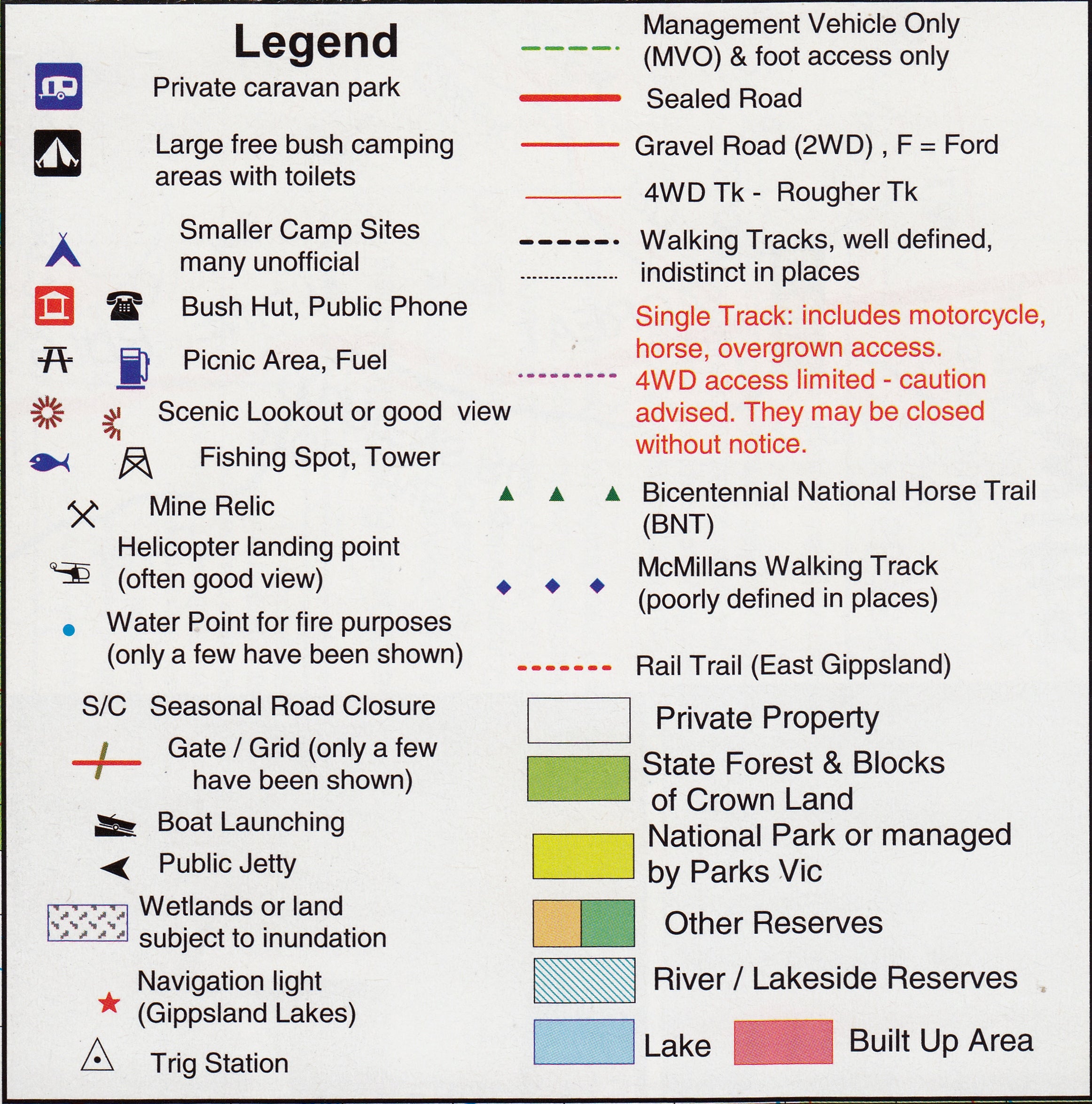
🔍 Double-Sided Map Design for Maximum Insight
Main Map – Scale: 1:100,000
Provides expansive topographic coverage ideal for large-scale trip planning. You'll find:
-
All parks, reserves, state forests, and fire trails
-
Noted lookouts, historical points of interest, and scenic drives
-
Road conditions, track types, and recommended access points
-
Fire zones, danger areas, and seasonal hazard updates
Reverse Map – Scale: 1:50,000
The ‘Dargo – Swifts Creek Forest Activities Map’ gives you enhanced local detail with:
-
Elevation contours for topographical orientation
-
Track gradients and terrain hints—essential for 4WD routes
-
Bush huts, creek crossings, and lesser-known cut-throughs
More than 6,000 kilometres of roads and trails have been physically GPS-mapped to provide the highest level of accuracy and reliability in remote settings.
🏕️ Built for Adventure, Designed for Practical Use
This is the map you want in your hand when:
-
Navigating unsealed tracks with no signage
-
Locating the perfect campsite near a high-country river
-
Finding heritage huts or lesser-known river crossings
-
Avoiding closed or unsafe trails in bushfire-prone zones
Its rich detail, drawn from on-the-ground research and local expertise, goes far beyond satellite apps or mass-market GPS databases.
💧 Durable Laminated Finish (Optional)
Choose the laminated version if you're heading into rugged terrain or need the flexibility of temporary markups:
-
✅ Wipe-clean surface for whiteboard markers
-
📍 Compatible with Map Dots—mark out your campsites or 4WD routes
-
💪 Tear-resistant, waterproof, and field-durable
📐 Product Specifications
| Feature | Detail |
|---|---|
| Scales | 1:100,000 (Main) / 1:50,000 (Reverse) |
| Size (Opened) | 700 mm (W) x 1000 mm (H) |
| Format | Folded or flat laminated |
| Publisher | Rooftop Maps |
| Edition | 3rd Edition, GPS-verified |
| Region Covered | East Gippsland / High Country Victoria |
🎯 Ideal For:
| User Type | Benefit |
|---|---|
| 🥾 Bushwalkers | Access isolated tracks, contours and hut locations |
| 🚙 4WD Adventurers | Plan trips with accurate road/trail conditions |
| 🎒 Backpackers | Navigate with confidence in remote zones |
| 📚 Educators & Guides | Use as a teaching resource or regional interpretive tool |
| 🗺️ Map Collectors | A beautifully crafted and field-researched collector’s item |
🚚 Shipping & Handling
-
Laminated maps: Delivered rolled in durable mailing tubes
-
Folded versions: Packaged flat in Australia Post tough bag
-
Dispatch time: 1–2 business days
🌄 Take the Scenic Route with Confidence
Whether you're descending into the Haunted Stream, discovering remote bush huts, or simply looking to lose yourself among the beauty of Victoria’s alpine forests, this map is your ultimate guide.
Frequently Asked Questions
Where can I buy the Bairnsdale - Dargo - Omeo Adventure Map Rooftop?
The Bairnsdale - Dargo - Omeo Adventure Map Rooftop is available to buy online from Mapworld, Australia's largest map and geographic product retailer, with fast shipping Australia-wide.
Is the Bairnsdale - Dargo - Omeo Adventure Map Rooftop in stock at Mapworld?
Mapworld maintains extensive stock across its map range and aims for fast dispatch. Orders placed before 2pm AEST on business days are typically dispatched the same day, with standard and express Australia-wide delivery options available.
What is Mapworld's returns policy?
Mapworld accepts returns on undamaged items in original condition. Contact Mapworld within 90 days of purchase to arrange a return or exchange.
Does Mapworld ship the Bairnsdale - Dargo - Omeo Adventure Map Rooftop across Australia?
Yes, Mapworld ships Australia-wide. Standard shipping is a flat $7 rate, with free standard shipping on orders over $75. Express options are available at checkout. Most orders placed before 2pm AEST on weekdays are dispatched same day.
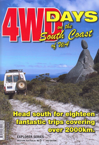
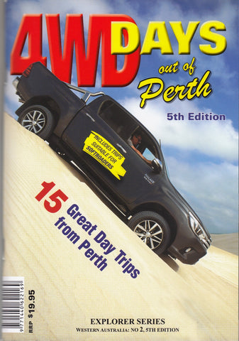
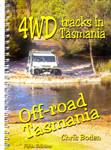
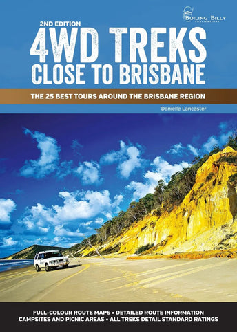
Related Items
© 2026 Mapworld. Website designed by Genie Media
X