- Australia ▾
- Topographic
▾
- Australia AUSTopo 250k (2025)
- Australia 50k Geoscience maps
- Australia 100k Geoscience maps
- Australia 250k Geoscience maps
- Australia 1:1m Geoscience maps
- New Zealand 50k maps
- New Zealand 250k maps
- New South Wales 25k maps
- New South Wales 50k maps
- New South Wales 100k maps
- Queensland 10k maps
- Queensland 25k maps
- Queensland 50k maps
- Queensland 100k maps
- Compasses
- Software
- GPS Systems
- Orienteering
- International ▾
- Wall Maps
▾
- World
- Australia & New Zealand
- Countries, Continents & Regions
- Historical
- Vintage National Geographic
- Australian Capital Territory
- New South Wales
- Northern Territory
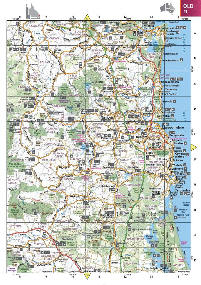
- Queensland
- South Australia
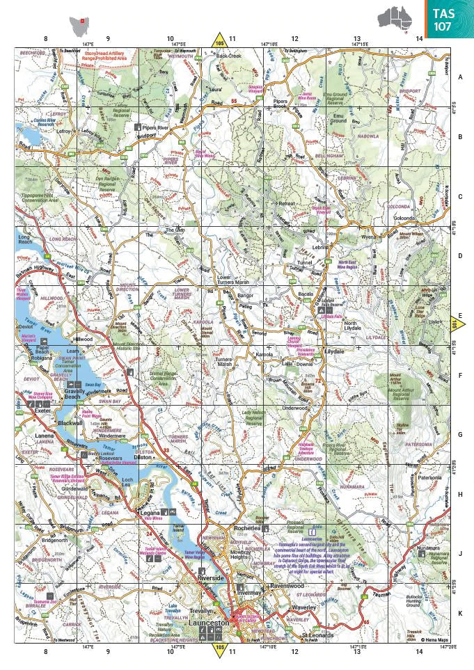
- Tasmania
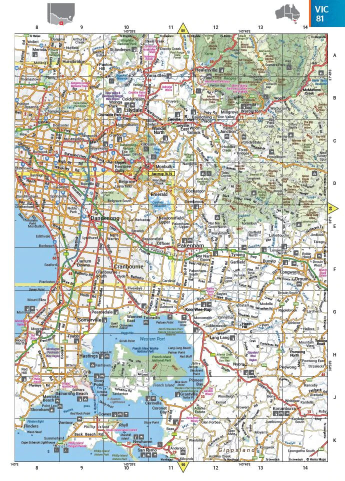
- Victoria
- Western Australia
- Celestial
- Children's
- Mining & Resources
- Wine Maps
- Healthcare
- Postcode Maps
- Electoral Maps
- Nautical ▾
- Flags
▾
- Australian Flag Sets & Banners
- Flag Bunting
- Handwavers
- Australian National Flags
- Aboriginal Flags
- Torres Strait Islander Flags
- International Flags
- Flagpoles & Accessories
- Australian Capital Territory Flags
- New South Wales Flags
- Northern Territory Flags
- Queensland Flags
- South Australia Flags
- Tasmania Flags
- Victoria Flags
- Western Australia Flags
- Gifts ▾
- Globes ▾
Dear valued customer. Please note that our checkout is not supported by old browsers. Please use a recent browser to access all checkout capabilities


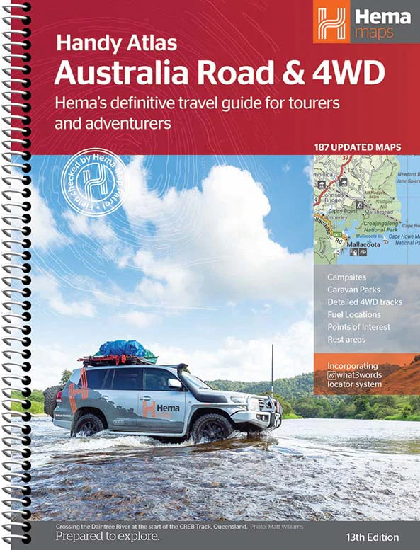
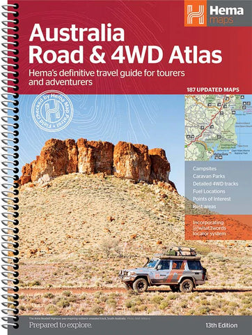
Australia Handy Atlas Spiral Bound 13th Edition
$29.95
Afterpay is only available for orders between $50.00 and $1000.00 More info
Your Compact Guide to Big Adventures Across Australia
By Hema Maps | 224 Pages | Road & 4WD Atlas | Easy-Read Format
🧭 Plan, Navigate, and Explore with Confidence
The Australia Handy Atlas by Hema Maps is your trusted travel companion—compact in size yet brimming with detailed mapping and practical touring information. Whether you're heading off on a grand outback expedition, a weekend camping escape, or a coast-to-coast family road trip, this atlas delivers the clarity, coverage, and convenience you need.
Now in its 13th Edition, this spiral-bound softcover atlas has been completely updated with Hema’s signature cartographic excellence, including the latest road networks, verified campsites, fuel stops, and 4WD tracks. Its easy-to-read design, handy size, and rugged binding make it the perfect fit for gloveboxes, dashboards, and camper van tabletops.
🗺️ Atlas Features & Highlights:
🛣️ Australia-Wide Road Atlas
-
Complete coverage of all states and territories
-
Shows major and minor roads, distances, rest stops, national parks, and regional towns
-
Includes road classifications (sealed, unsealed, 4WD)
🚙 4WD & Touring Coverage
-
Dedicated pages for Australia’s most iconic adventure regions:
-
Cape York
-
Fraser Island (K'gari)
-
The Kimberley
-
Pilbara
-
The Top End
-
Victorian High Country
-
Flinders Ranges
-
Central Australia
-
⛺ Verified Campgrounds & Rest Stops
-
Clearly marked caravan parks, bush camps, and 24-hour rest areas
🛢️ Fuel Availability & Roadside Services
-
Petrol stations and 24-hour fuel icons across major and remote roads
-
Includes rest areas and roadhouses for long-haul travel planning
🏞️ Points of Interest & Attractions
-
National parks, nature reserves, scenic lookouts, and heritage sites
-
Culturally significant locations and natural landmarks noted
📏 Distance Grid & Driving Reference
-
Calculate driving distances between major towns and capital cities at a glance
🧭 Touring Tools & Indexes
-
Comprehensive place name index
-
National park guide with contact details
-
List of accredited Visitor Information Centres
-
Travel planning tools to streamline your journey
📐 Product Specifications
| Feature | Detail |
|---|---|
| Title | Australia Handy Atlas – 13th Edition |
| Publisher | Hema Maps |
| Binding | Spiral bound for lay-flat use |
| Format | Softcover, full colour |
| Pages | 224 |
| Size | 248 mm (W) × 184 mm (H) |
| ISBN | Available on request |
| Edition | 13th |
✅ Perfect For:
-
🚐 Caravaners & Vanlifers
-
🛻 4WD Adventurers & Off-Road Enthusiasts
-
🚗 Road Trippers & Holidaymakers
-
🏕️ Campers & Outdoor Explorers
-
📚 Schools, Home Libraries & Trip Planners
Why Choose This Atlas?
Unlike digital navigation tools that depend on coverage, the Australia Handy Atlas offers uninterrupted reliability and a tactile, visual approach to journey planning. It gives you the confidence of printed navigation, enriched by Hema’s on-the-ground research and cartographic precision.
Plan your next adventure the right way—order your copy of the Hema Australia Handy Atlas today and explore the country with the map trusted by serious travellers nationwide
Frequently Asked Questions
What does the Australia Handy Atlas Spiral Bound 13th Edition cover?
This atlas covers the geographic region indicated in the product title, including roads, towns, distances, and key travel information. Mapworld stocks atlases for Australian states and territories, 4WD regions, and international destinations.
Is this the latest edition?
Yes, this is the 13th Edition. Mapworld stocks the most current editions available from publishers.
Is this atlas or guide spiral bound?
Spiral binding is indicated in the product title where applicable. Spiral-bound atlases and guides lay flat when open, making them ideal for use in vehicles or on a table without needing to hold pages open.
Is the Australia Handy Atlas Spiral Bound 13th Edition in stock at Mapworld?
Mapworld maintains extensive stock across its map range and aims for fast dispatch. Orders placed before 2pm AEST on business days are typically dispatched the same day, with standard and express Australia-wide delivery options available.
Does Mapworld ship the Australia Handy Atlas Spiral Bound 13th Edition across Australia?
Yes, Mapworld ships Australia-wide. Standard shipping is a flat $7 rate, with free standard shipping on orders over $75. Express options are available at checkout. Most orders placed before 2pm AEST on weekdays are dispatched same day.
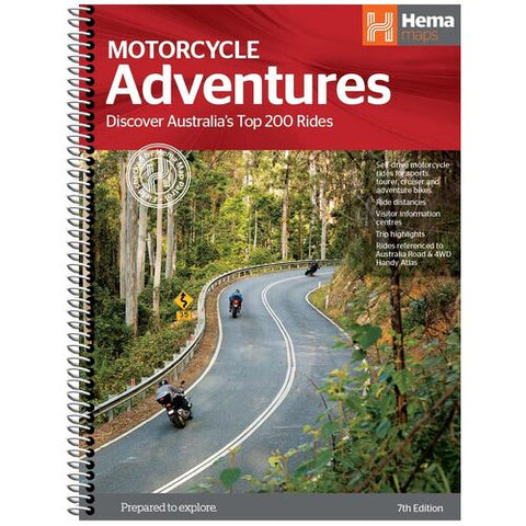
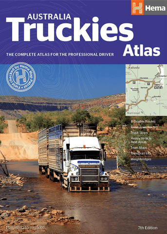
Related Items

© 2026 Mapworld. Website designed by Genie Media
X