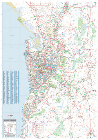
Main Roads Map of Sunshine Coast, Brisbane & Gold Coast (Laminated Wall Map)
2052 mm (H) × 927 mm (W) • Single Sheet • Laminated • Wall-Scale Reference • Printed in Australia
Stretching more than two metres from top to bottom, this Main Roads Map of the Sunshine Coast, Brisbane & Gold Coast delivers a commanding, linear view of Queensland’s most heavily travelled coastal corridor. Designed for clarity at distance, it brings together urban detail, regional connections, and coastal geography in one continuous, wall-dominating reference.
From the Sunshine Coast hinterland through Greater Brisbane and down to the Gold Coast, this is a practical, big-picture map built for planning, logistics, briefing rooms, and daily operational use.
🧭 At a Glance (What’s on the Map)
-
Continuous coastal coverage — Sunshine Coast, Brisbane, and Gold Coast on a single vertical sheet
-
Primary & secondary road networks — highways, motorways, arterial routes, and connectors
-
Urban & regional detail — cities, suburbs, towns, and key localities clearly labelled
-
Natural features — rivers, bays, coastal outlines, and national parks
-
Planning-ready scale — ideal for route tracing, corridor planning, and regional overview
🎯 Why This Map Works
-
Extra-tall wall format — follows the natural north–south flow of the coast
-
Instant legibility — roads and settlements remain readable from across the room
-
Durable laminated finish — built for high-use offices and shared spaces
-
Annotation-friendly — mark routes, zones, and projects, then wipe clean
-
Professional presentation — authoritative, no-nonsense cartography for serious use
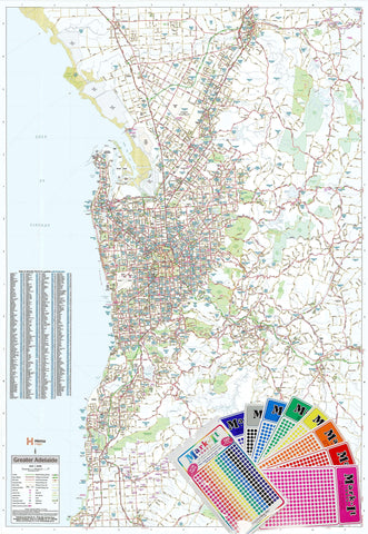
🎨 Finish & Use
Laminated (True Encapsulation)
Sealed in 2 × 80-micron gloss laminate for a tough, wipe-clean surface that protects against handling, humidity, and wear.
-
Use non-permanent whiteboard markers only
-
Clean with a dry microfibre cloth (lightly damp if required)
Note: This map is supplied laminated only and is ideal for pin-up, magnetic strips, or custom framing solutions.
📐 Specifications
| Attribute | Details |
|---|---|
| Title | Main Roads Map of Sunshine Coast, Brisbane & Gold Coast |
| Publisher | UBD / Gregory’s |
| Format | Single sheet • Laminated wall map |
| Size | 2052 mm (H) × 927 mm (W) |
| Orientation | Portrait |
| Coverage | Sunshine Coast • Brisbane • Gold Coast |
| Content | Highways, motorways, arterial roads, towns, suburbs, rivers, parks |
| Laminate | 2 × 80-micron gloss (true encapsulation) |
| Markers | Non-permanent whiteboard markers recommended |
| Origin | Printed in Australia |
🧰 Ideal For
Transport & infrastructure teams • Logistics & freight planners • Councils & government offices • Emergency & operations rooms • Property & development offices • Large home study or planning wall
🤝 Our Commitment
-
Printed in Australia using professional, colour-managed processes
-
Durable finishes designed for long-term wall use
-
Clear, readable cartography optimised for large-format viewing
-
Packed with care to arrive flat, clean, and display-ready
Plan the coast in one sweep.
Choose this laminated wall map for a clear, continuous view of Queensland’s busiest coastal corridor—from Sunshine Coast to Gold Coast—at true wall scale.