Sydney & Region — Hema Maps Megamap (Laminated Wall Map with Hang Rails)
The Sydney & Region Hema Megamap is the ultimate wall-scale reference for Greater Sydney. Printed at an imposing 1400 × 2000 mm, this extra-large map delivers exceptional clarity across large rooms, making it ideal for planning walls, operations centres, classrooms, and boardrooms. At a highly detailed 1:50,000 scale, it spans Gosford in the north to Sutherland in the south, and west to Penrith, presenting Sydney’s metropolitan structure in powerful, easy-to-read detail.
Every major and secondary road is clearly shown, with Metroads, national and state route numbers, plus current and proposed freeways. Postcodes are included throughout, making this an indispensable tool for logistics, service planning, territory management, and strategic visualisation.
🗝️ Key Features
-
Full Greater Sydney coverage — Gosford to Sutherland, Penrith to the coast
-
High-detail scale — 1:50,000 for close reading and precise planning
-
Road clarity — Major & secondary roads, Metroads, highways, and freeways (current & planned)
-
Postcode detail — Suburbs and postcode boundaries clearly marked
-
Megamap format — Oversized 1400 × 2000 mm for maximum wall impact and legibility
🎨 Materials & Finish
Laminated (True Encapsulation)
-
Protected with 2 × 100-micron gloss laminate, fully edge-sealed
-
Waterproof, tear-resistant, and wipe-clean
-
Designed for long-term use in high-traffic planning environments
Interactive Surface
-
Write on with whiteboard markers and wipe clean
-
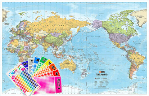
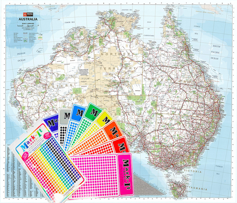
Ideal for Mark-It Dots, route planning, and temporary annotations
Timber Hang Rails
-
Finished with natural timber hang rails (lacquered) top and bottom
-
Supplied with a strong hanging cord — ready to hang from a single wall hook
Australian Made
-
Printed locally using pigment-based, fade-resistant inks for sharp, durable colour and linework
⚠️ Please allow up to 10 working days for delivery, as each hang-railed Megamap is professionally finished to order.
📐 Size & Scale
-
1400 mm × 2000 mm
-
Scale: 1:50,000
-
Orientation: Portrait
📊 Specifications
| Attribute | Details |
|---|---|
| Title | Sydney & Region — Hema Megamap |
| Scale | 1:50,000 |
| Coverage | Greater Sydney — Gosford to Sutherland, Penrith to coast |
| Features | Major & secondary roads, Metroads, highways, freeways (current & future), postcodes |
| Print Size | 1400 mm × 2000 mm |
| Format | Laminated + Timber Hang Rails |
| Laminate | 2 × 100-micron gloss (true encapsulation) |
| Hang Rails | Natural timber, lacquered; top cord included |
| Inks | Pigment-based, fade-resistant |
| Origin | Printed in Australia |
🎯 Who it’s for
-
🏢 Corporate offices & planning teams — Territory mapping, logistics, strategy
-
🚛 Transport & service organisations — Visualise coverage at true metropolitan scale
-
🏛️ Councils & government offices — Durable, authoritative Sydney reference
-
🎓 Education & training spaces — Clear, collaborative metropolitan overview
🤝 Our Commitment
Every Hema Megamap is printed and finished locally in Australia, laminated to professional standards, and hand-fitted with timber hang rails. Each map is colour-managed, hand-checked, and carefully packed to arrive ready for immediate display.
Order the Sydney & Region Hema Megamap today — the most detailed large-format wall reference of Greater Sydney, built for serious planning and built to last.