- Australia ▾
- Topographic
▾
- Australia AUSTopo 250k (2024)
- Australia 50k Geoscience maps
- Australia 100k Geoscience maps
- Australia 250k Geoscience maps
- Australia 1.1m Geoscience maps
- New Zealand 50k maps
- New Zealand 250k maps
- New South Wales 25k maps
- New South Wales 50k maps
- New South Wales 100k maps
- Queensland 10k maps
- Queensland 25k maps
- Queensland 50k maps
- Queensland 100k maps
- Compasses
- Software
- GPS Systems
- Orienteering
- International ▾
- Wall Maps
▾
- World
- Australia & New Zealand
- Countries, Continents & Regions
- Historical
- Vintage National Geographic
- Australian Capital Territory
- New South Wales
- Northern Territory
- Queensland
- South Australia
- Tasmania
- Victoria
- Western Australia
- Celestial
- Children's
- Mining & Resources
- Wine Maps
- Healthcare
- Postcode Maps
- Electoral Maps
- Nautical ▾
- Flags
▾
- Australian Flag Sets & Banners
- Flag Bunting
- Handwavers
- Australian National Flags
- Aboriginal Flags
- Torres Strait Islander Flags
- International Flags
- Flagpoles & Accessories
- Australian Capital Territory Flags
- New South Wales Flags
- Northern Territory Flags
- Queensland Flags
- South Australia Flags
- Tasmania Flags
- Victoria Flags
- Western Australia Flags
- Gifts ▾
- Globes ▾
Dear valued customer. Please note that our checkout is not supported by old browsers. Please use a recent browser to access all checkout capabilities


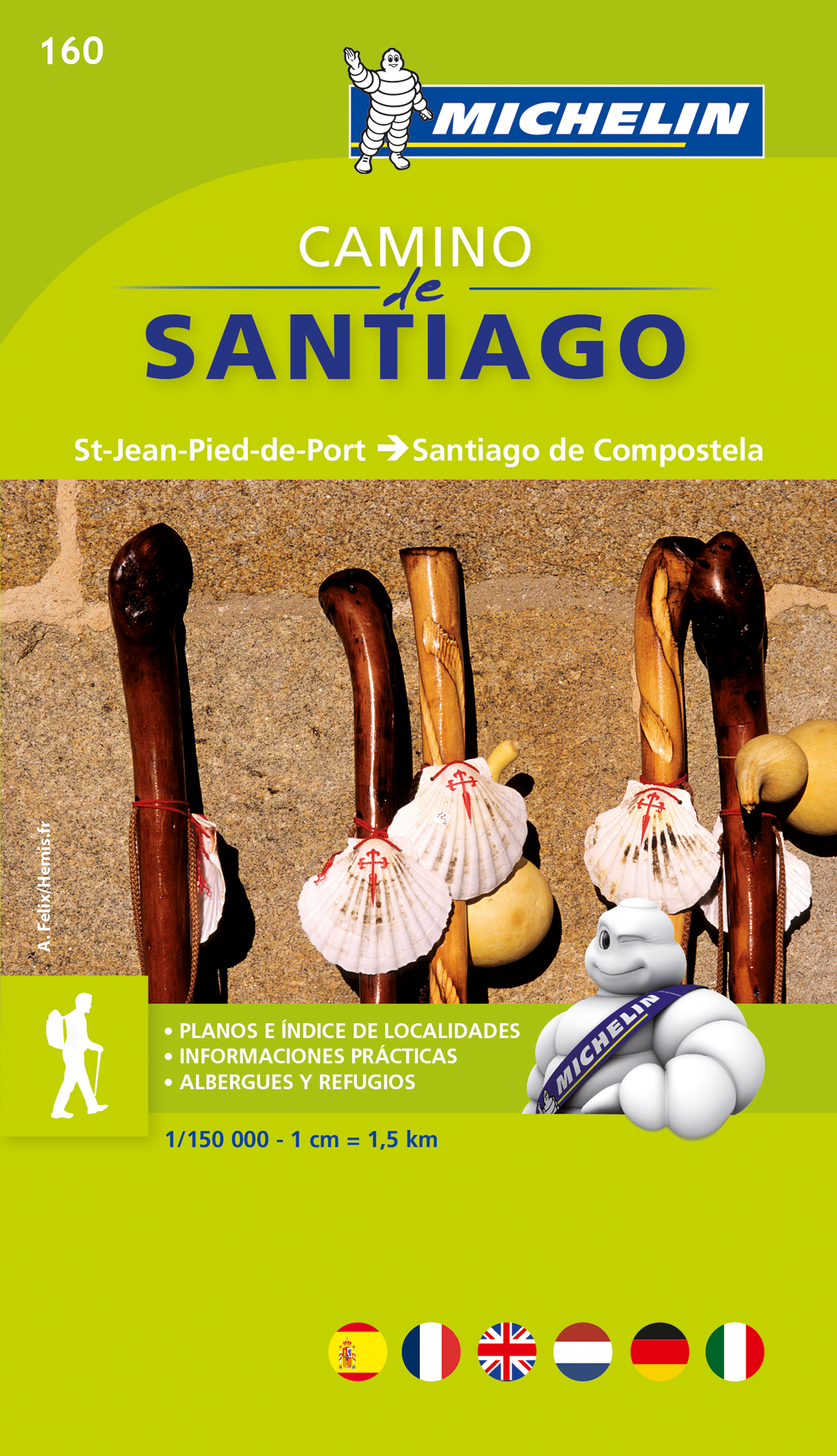
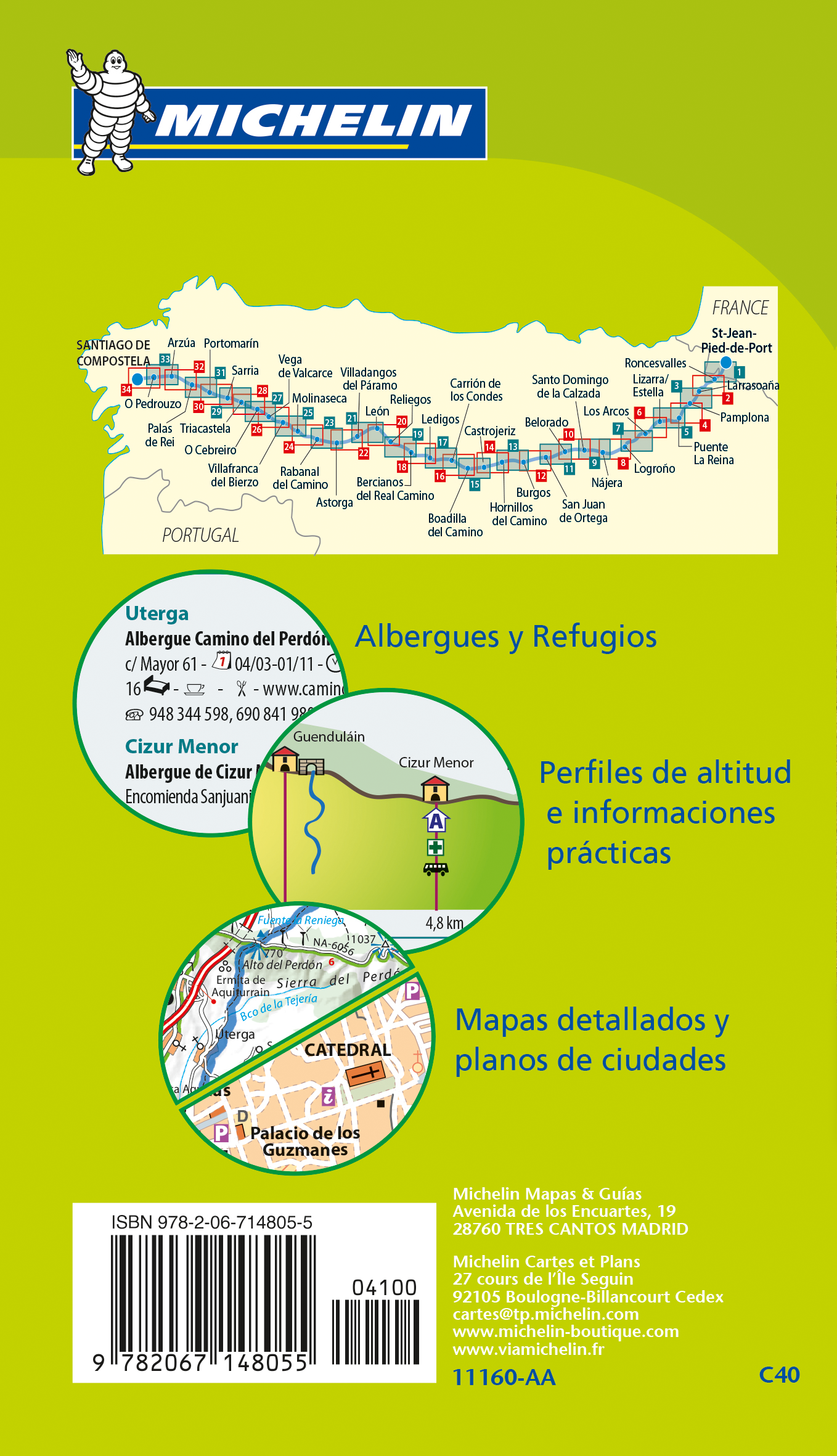
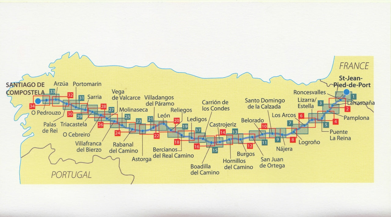
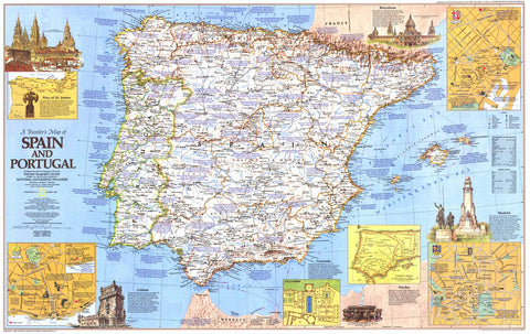
Way of St James Spain - Camino de Santiago Map Book Michelin 160
$21.95
Afterpay is only available for orders between $50.00 and $1000.00 More info
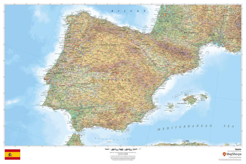
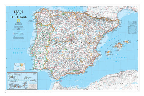
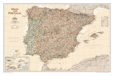
Way of St James – Camino de Santiago Map Book (Spain) – Michelin Map 160
Your trusted companion for walking the Camino – from Saint-Jean-Pied-de-Port to Santiago de Compostela
Topographic Map Book | 1:150,000 Scale | Lightweight & Pack-Friendly
Overview
Whether you're walking for pilgrimage, personal growth, or the sheer beauty of the journey, the Way of St James (Camino de Santiago) Map Book by Michelin is a must-have tool for planning and navigating the world-famous route across Spain.
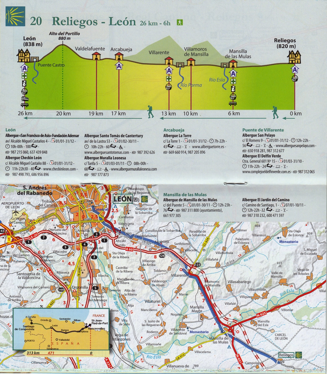
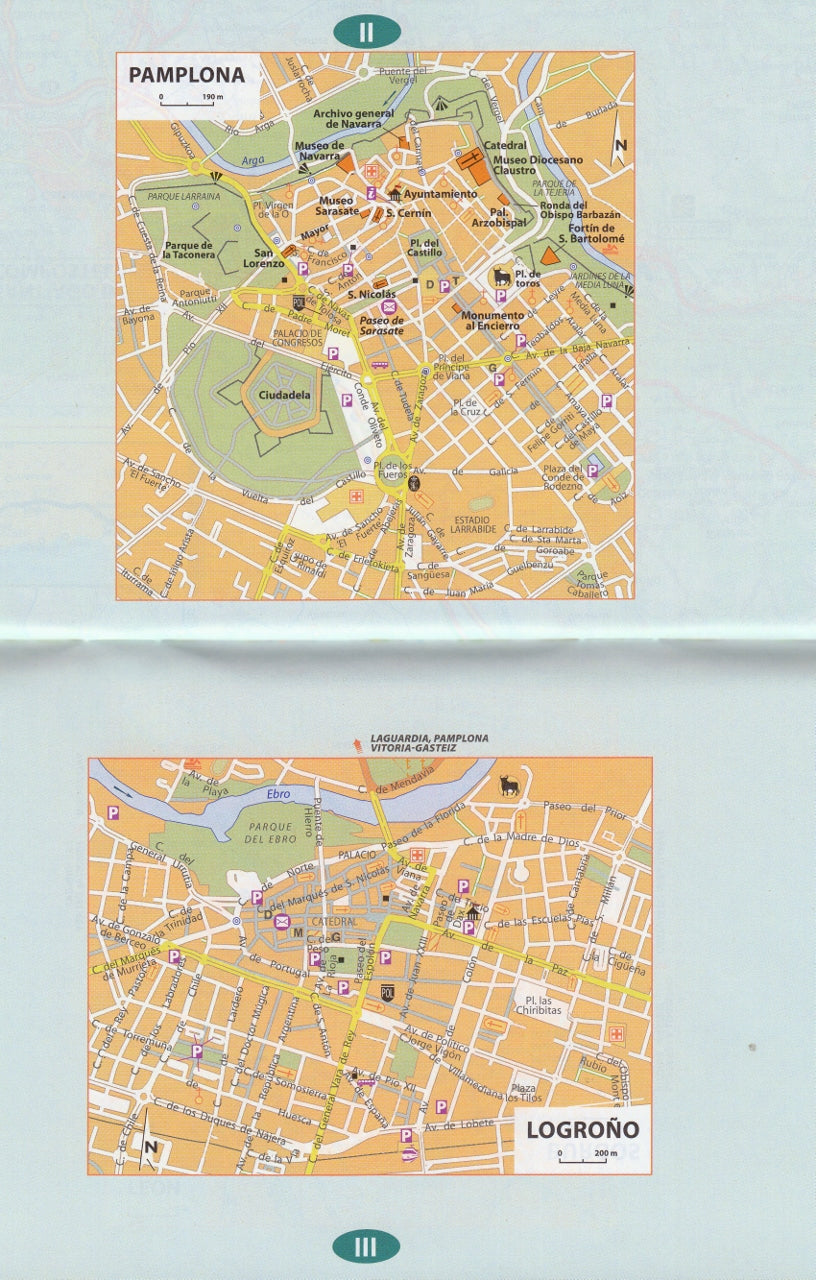
This is the second volume in Michelin’s acclaimed two-book set and focuses on the most iconic stretch—from Saint-Jean-Pied-de-Port in the French Pyrenees to Santiago de Compostela in Galicia, Spain. Covering the full Spanish section of the Camino Francés, this compact, lightweight atlas offers 1:150,000 scale topographic mapping, altitude profiles, and town-to-town guidance that’s easy to follow even when you're on a muddy trail or a foggy mountain pass.
Tested by walkers on the path itself, this map book fits comfortably into a daypack (20 x 11 cm) and is rugged enough to accompany you across hundreds of kilometres—rain, shine, or blisters.
📖 What's Included
| Feature | Description |
|---|---|
| Topographic Maps | Clear, easy-to-read cartography at 1:150,000 scale (1 cm = 1.5 km) |
| Altitude Profiles | Elevation data for each stage to help pace your walk and plan your rest stops |
| Place Name Index | Quickly locate towns, villages, albergues, and landmarks along the route |
| Key Town Maps | Zoomed-in detail maps of larger settlements to help you navigate accommodations, food, and supplies |
| Multilingual | Minimal text makes it accessible to international walkers |
| Compact Size | Lightweight (approx. 200g) and portable – ideal for daily use on the trail |
👣 Two-Book Series for the Full Journey
This guide is Volume 2 of Michelin’s full Camino set:
-
Volume 1: Chemins de Compostelle (France)
Covers the French section from Le Puy-en-Velay to Saint-Jean-Pied-de-Port. -
Volume 2: Camino de Santiago (Spain)
Covers the Spanish section from Saint-Jean-Pied-de-Port to Santiago de Compostela. ← This listing
Why Choose Michelin’s Camino Map Book?
✅ Trail-Tested by Pilgrims
As someone who has personally walked 200 km of the Chemin de Saint-Jacques, I can vouch for the practical value of this book. It’s incredibly useful for both planning and daily navigation—especially when you're off the grid or your phone is flat.
✅ Lightweight & Durable
At just 20 cm x 11 cm, this book tucks neatly into any side pocket or pack compartment. The maps are printed on high-quality paper designed to resist tears and creases—ideal for handling in all weather.
✅ Clear Visual Guidance
Unlike many apps and GPS tools, these maps provide a bird’s-eye view of your progress, helping you connect more deeply with the landscape—and with centuries of pilgrimage tradition.
✅ Perfect for the Pilgrim’s Mindset
There’s something deeply satisfying about walking with a physical map in hand—no pings, no distractions, just you, the road, and a quiet awareness of where you’ve been and where you’re going.
📐 Specifications
| Detail | Specification |
|---|---|
| Title | Way of St James – Camino de Santiago (Spain) |
| Publisher | Michelin |
| Series | Map 160 |
| Format | Softcover Map Book |
| Scale | 1:150,000 (1 cm = 1.5 km) |
| Dimensions | 200 mm x 110 mm |
| Weight | Approx. 200 g |
| Edition | Latest Available |
| Language | Visual/international with minimal text |
| Coverage | Saint-Jean-Pied-de-Port to Santiago de Compostela |
🎒 A Worthy Companion for a Life-Changing Journey
Whether you’re preparing for your first Camino or returning for a second pilgrimage, the Michelin Way of St James Map Book is a practical, lightweight, and beautifully detailed tool that honours the spirit of the walk.
🛒 Add to cart now and take the first step toward one of the world’s most legendary journeys.
📦 In stock and ready to ship.