- Australia ▾
- Topographic
▾
- Australia 50k Geoscience maps
- Australia 100k Geoscience maps
- Australia 250k Geoscience maps
- Australia 1.1m Geoscience maps
- New Zealand 50k maps
- New Zealand 250k maps
- New South Wales 25k maps
- New South Wales 50k maps
- New South Wales 100k maps
- Queensland 10k maps
- Queensland 25k maps
- Queensland 50k maps
- Queensland 100k maps
- Compasses
- Software
- GPS Systems
- Orienteering
- International ▾
- Wall Maps
▾
- World
- Australia & New Zealand
- Countries, Continents & Regions
- Historical
- Vintage National Geographic
- Australian Capital Territory
- New South Wales
- Northern Territory
- Queensland
- South Australia
- Tasmania
- Victoria
- Western Australia
- Celestial
- Children's
- Mining & Resources
- Wine Maps
- Healthcare
- Postcode Maps
- Electoral Maps
- Nautical ▾
- Flags
▾
- Australian Flag Sets & Banners
- Flag Bunting
- Handwavers
- Australian National Flags
- Aboriginal Flags
- Torres Strait Islander Flags
- International Flags
- Flagpoles & Accessories
- Australian Capital Territory Flags
- New South Wales Flags
- Northern Territory Flags
- Queensland Flags
- South Australia Flags
- Tasmania Flags
- Victoria Flags
- Western Australia Flags
- Gifts ▾
- Globes ▾
Dear valued customer. Please note that our checkout is not supported by old browsers. Please use a recent browser to access all checkout capabilities


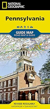

Pennsylvania National Geographic Folded Map
$26.95
Afterpay is only available for orders between $50.00 and $1000.00 More info
- Waterproof - Tear-Resistant - Travel Map
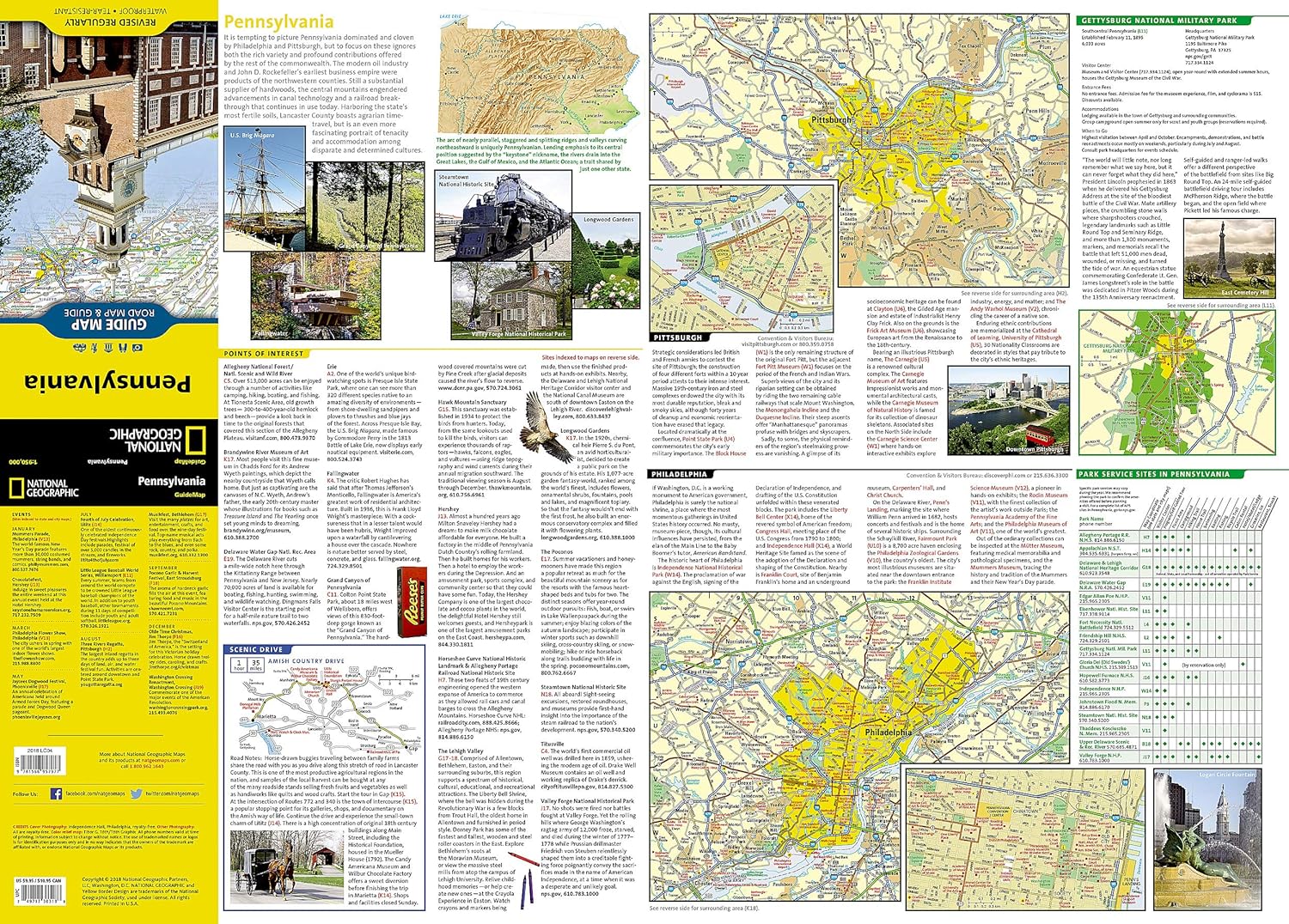
Whether traveling for business or leisure, National Geographic's Pennsylvania Guide Map is an essential travel companion. Coverage is unparalleled with a comprehensive road map, combined with more than 10 inset maps detailing cities and metropolitan areas, including Philadelphia, Pittsburgh, Allentown -- Bethlehem, Allentown, Reading, Scranton -- Wilkes-Barre, Lancaster, Harrisburg and others. Roads are labeled according to usage and hundreds of points of interest, national and state parks, national forests, campgrounds, visitor centers, airports, ski areas and hospitals are pinpointed. To find your destination quickly, use the convenient index of counties, cities and towns.
Visitor information is given for Philadelphia and Pittsburgh, as well as Gettysburg National Park and Amish Country scenic drive, all of which have accompanying inset maps. Descriptions and contact information are provided for many popular points of interest, a calendar of events and national parks which are listed in a chart with their available services.
Every State Guide Map is printed on durable synthetic paper, making them waterproof, tear-resistant and tough -- capable of withstanding the rigors of any kind of travel.
THIS MAP IS ORDER ON DEMAND. PLEASE ALLOW 7-10 WORKING DAYS FOR DELIVERY.
Related Items


© 2024 Mapworld. Website designed by Genie Media
X